Agricultural Finca in Barrio Tomás de Castro I, Caguas
$225,000
15.25 ac
Your take
What do you like?
Scout suggestions are outlined. Your choices are filled.
Notes
No notes yet.
Scout suggestion
15.25-acre property with private, river or water and acreage.
- Land only — no move-in-ready home.
- The existing structure is not move-in ready.
Listing detailsPrice, facts & description
| Location | Tomas De Castro, Caguas |
|---|---|
| Asking price | $225,000 |
| Property | Land only |
| Land | 15.25 acres |
| Property type | Single Family Residence |
| Photos | 16 reported by Clasificados · 16 available here |
Description from Clasificados
Source title: FINCA EN BO. TOMAS DE CASTRO I, CAGUAS
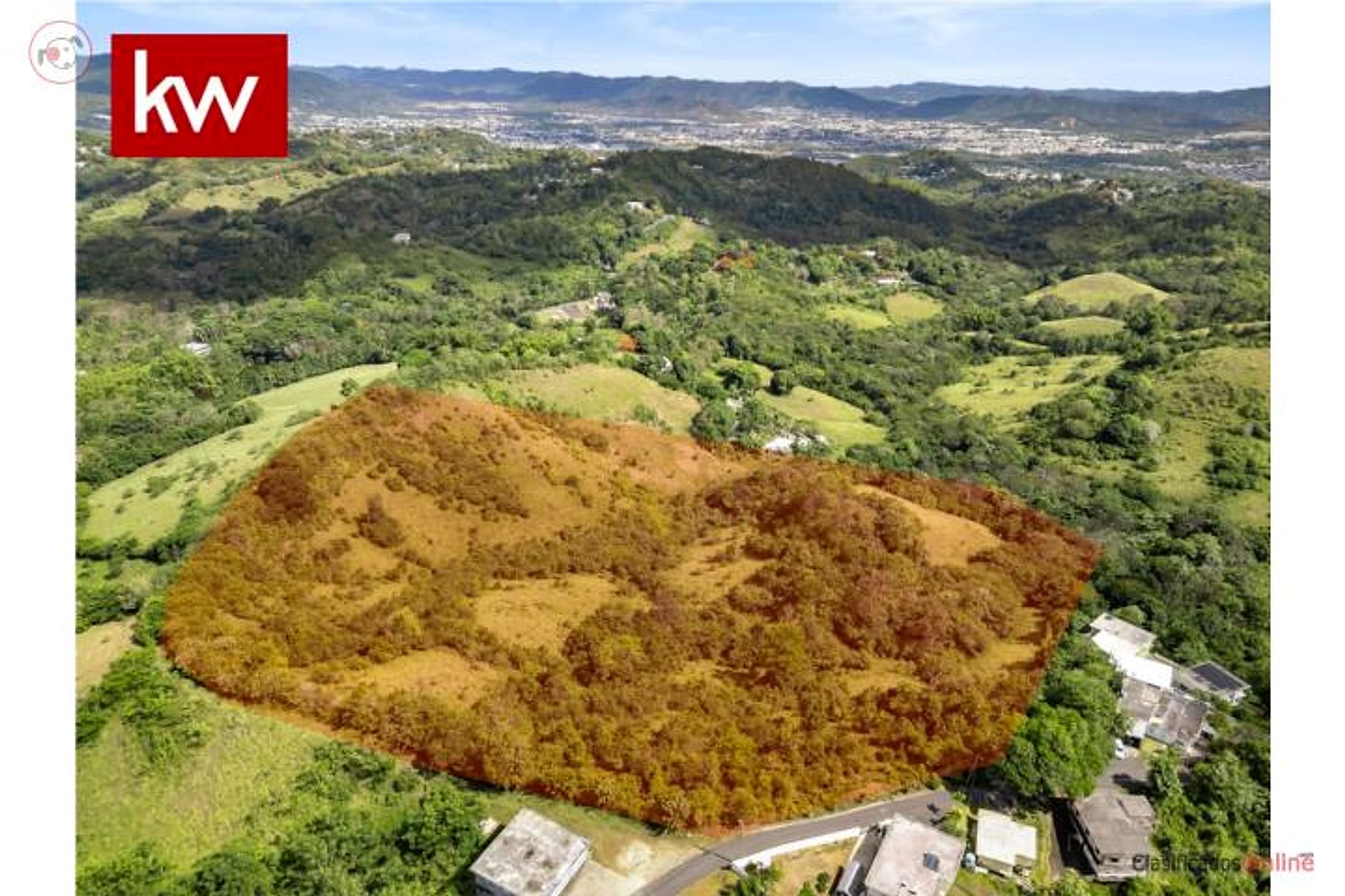
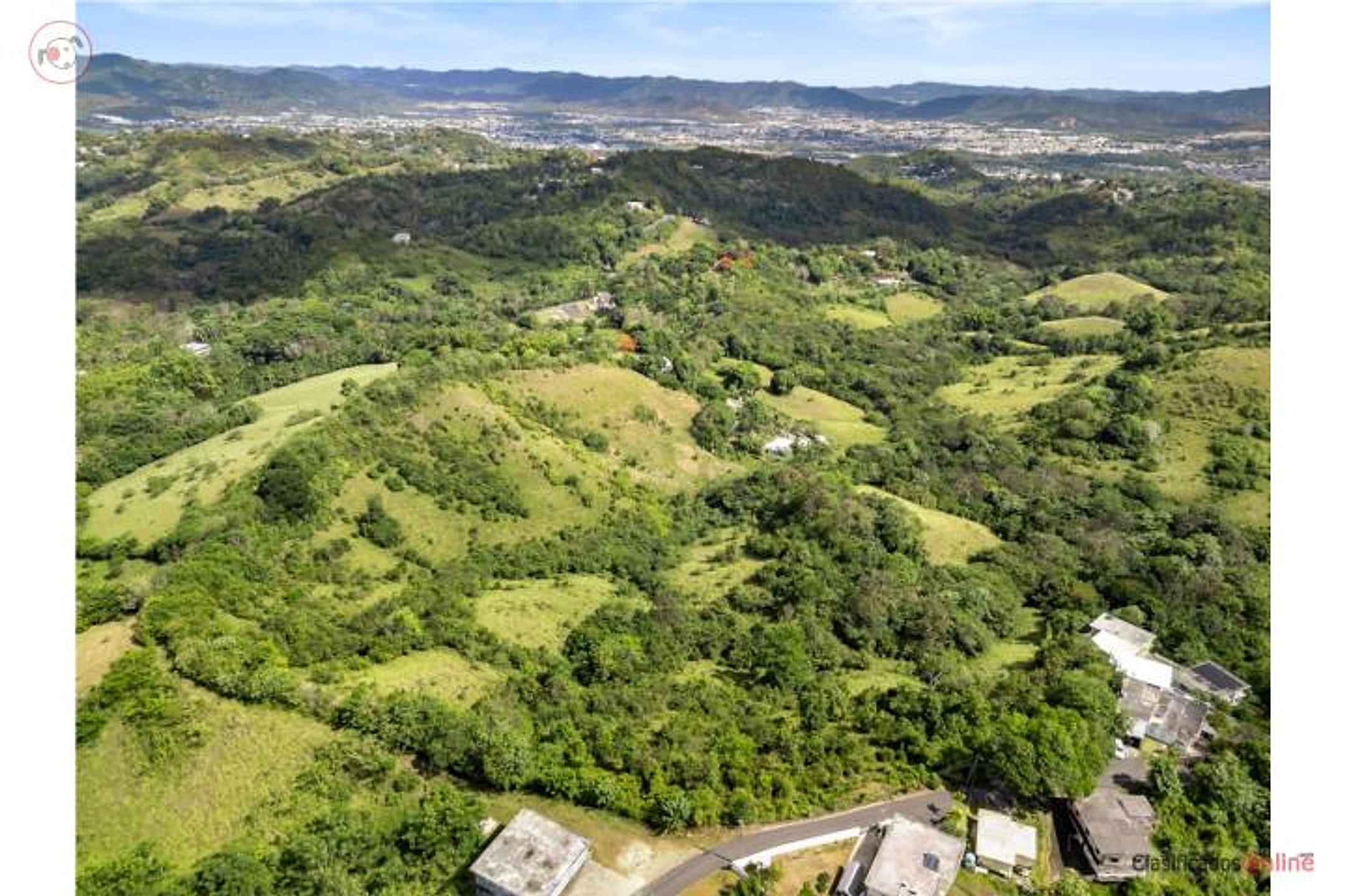
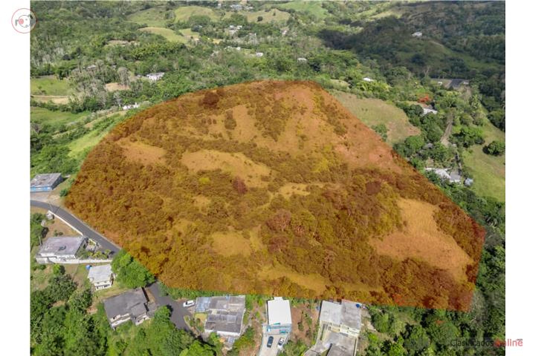
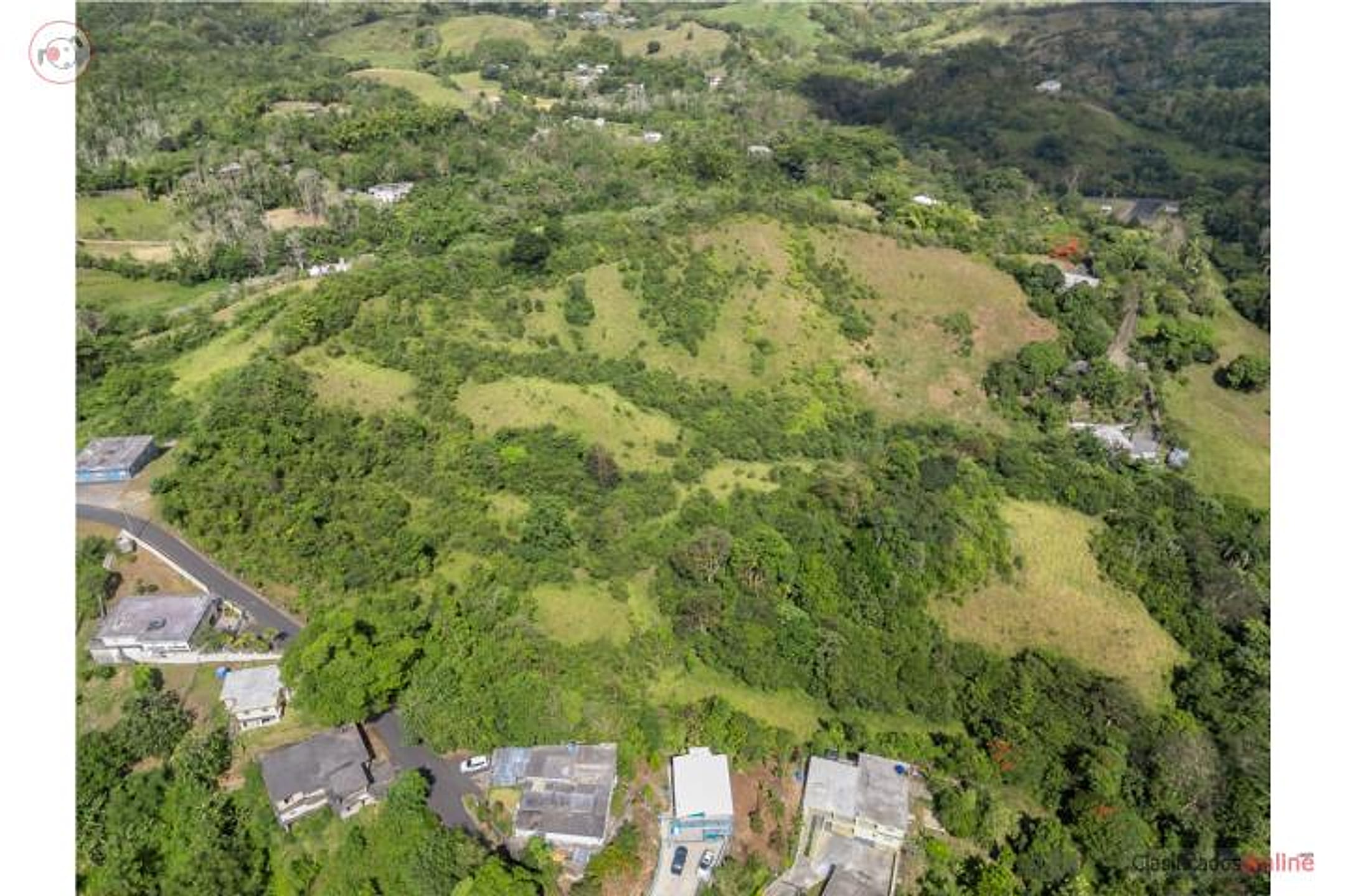
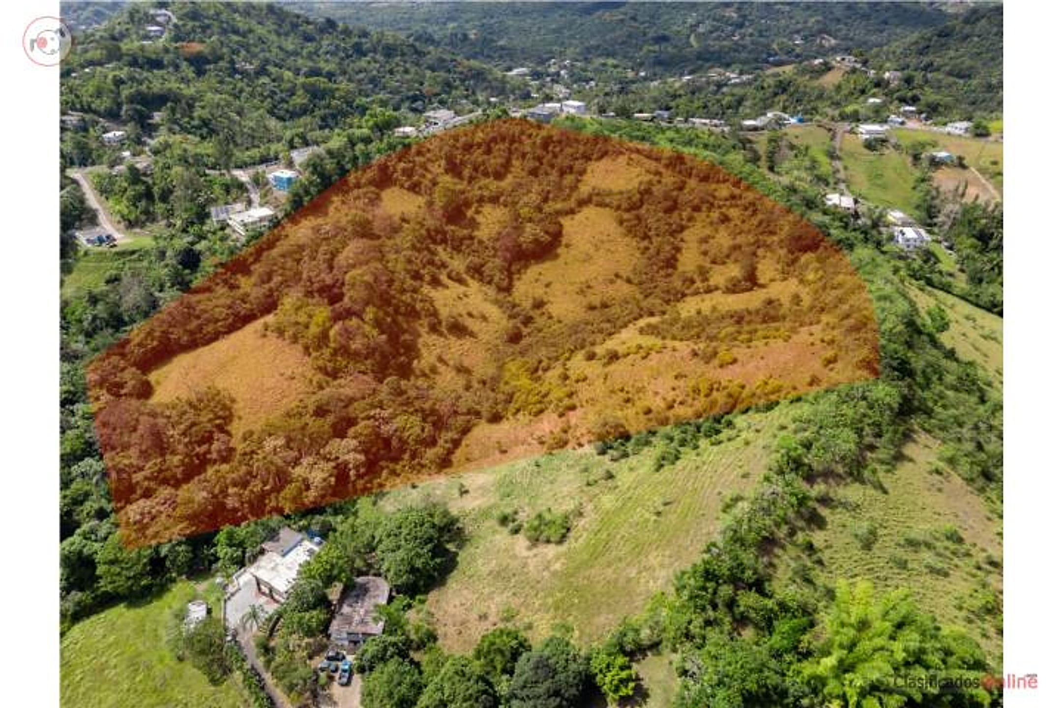
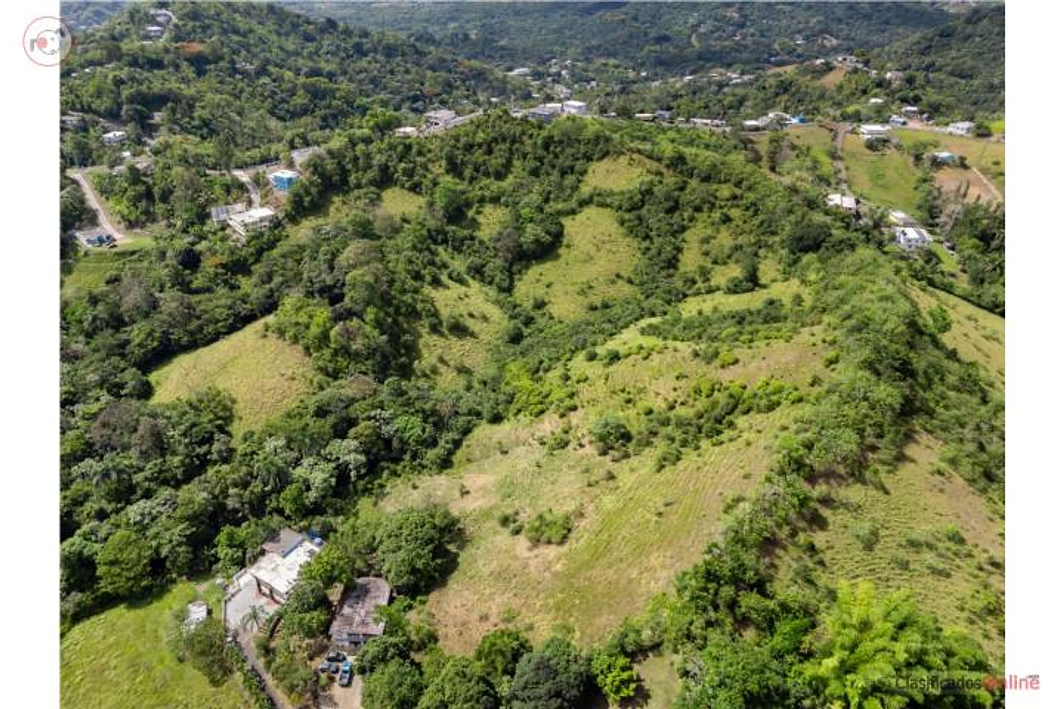
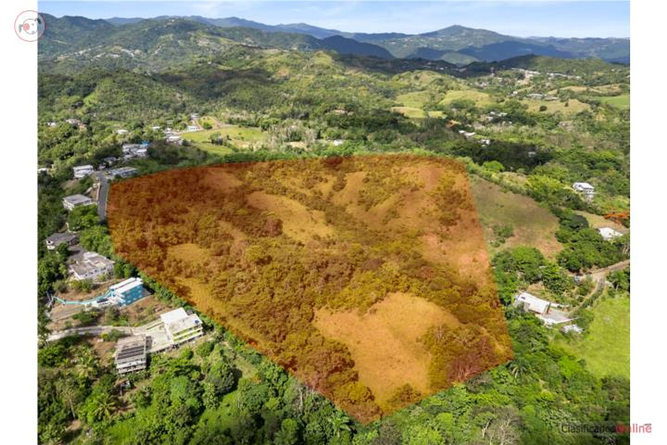
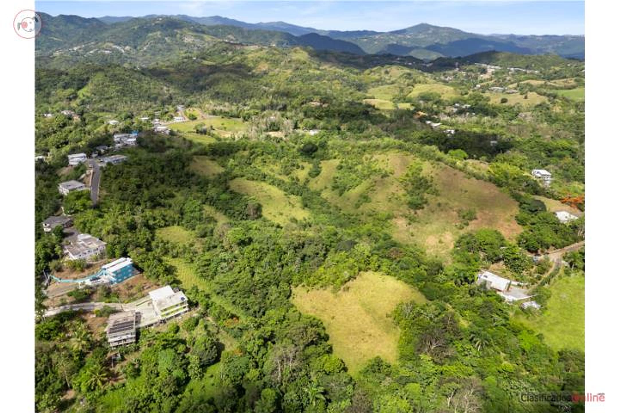
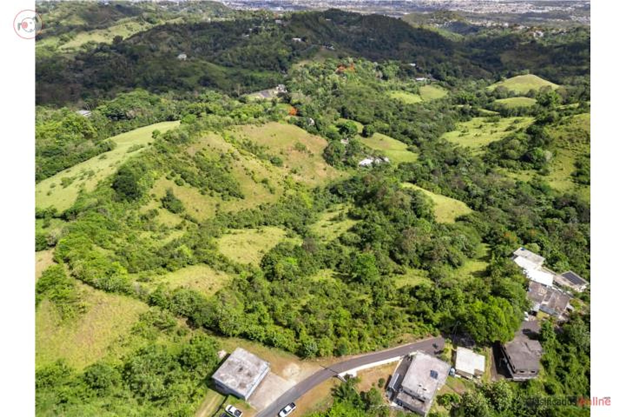
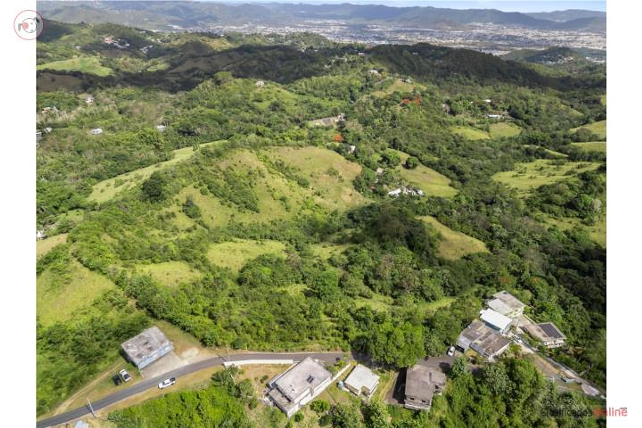
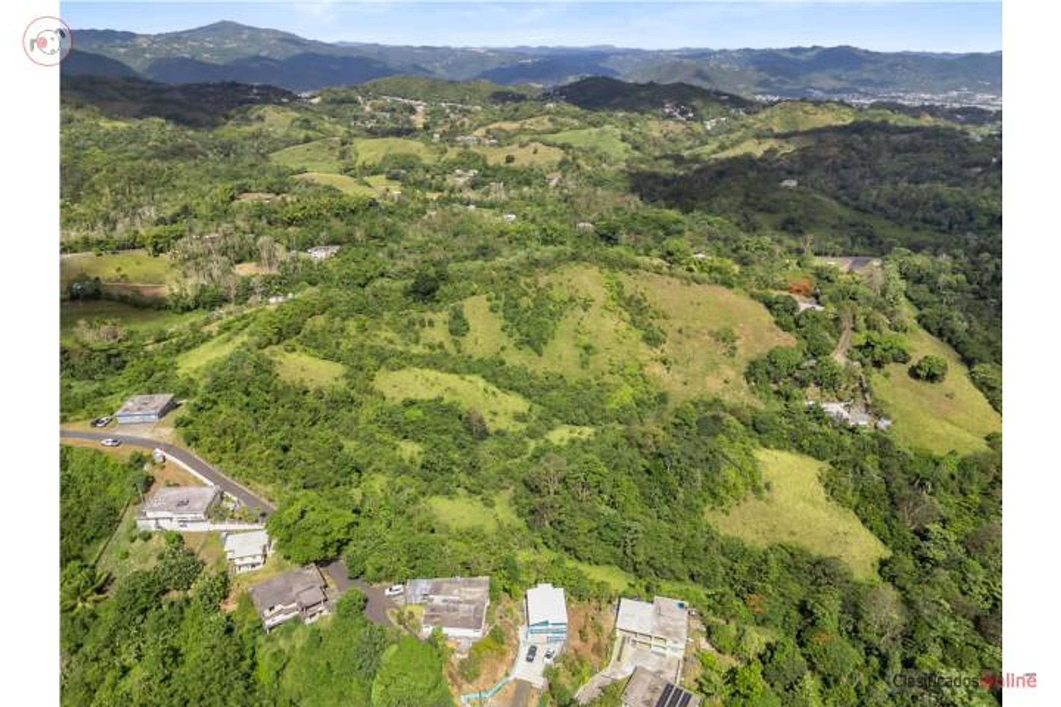
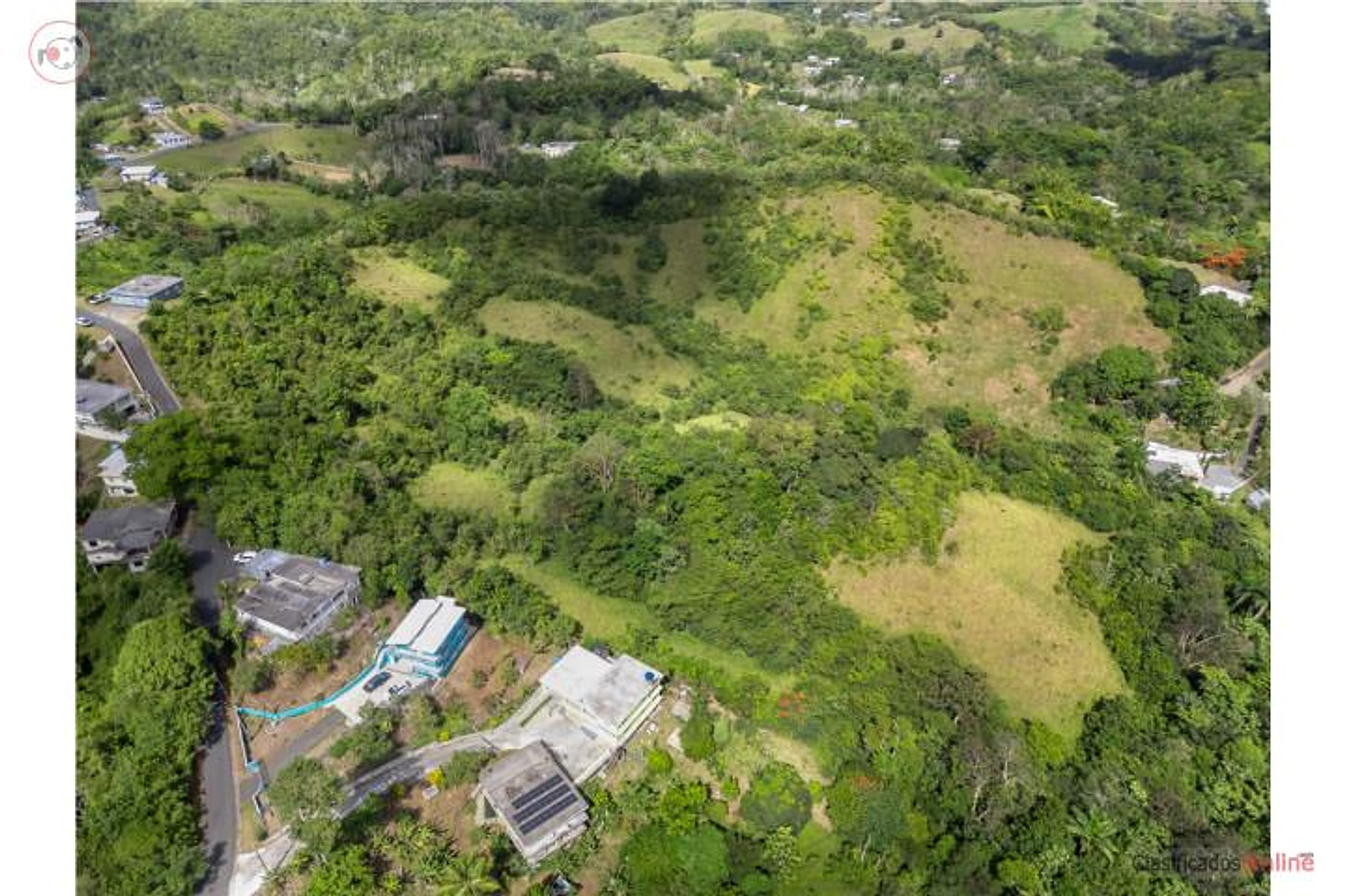
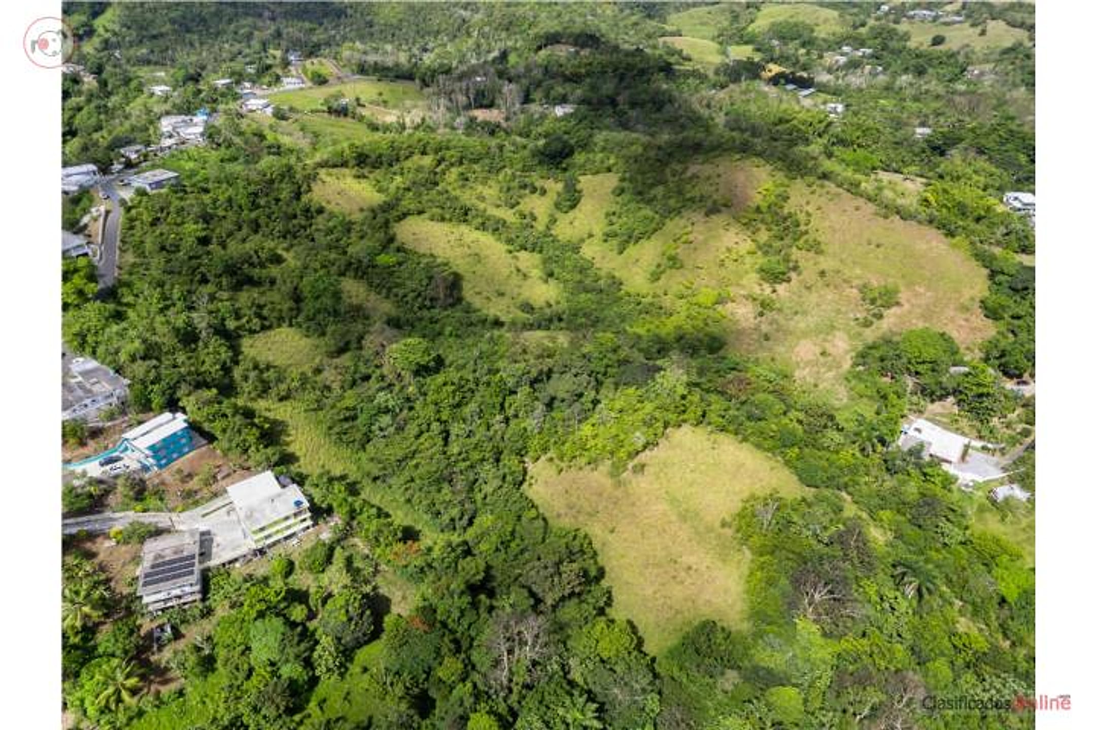
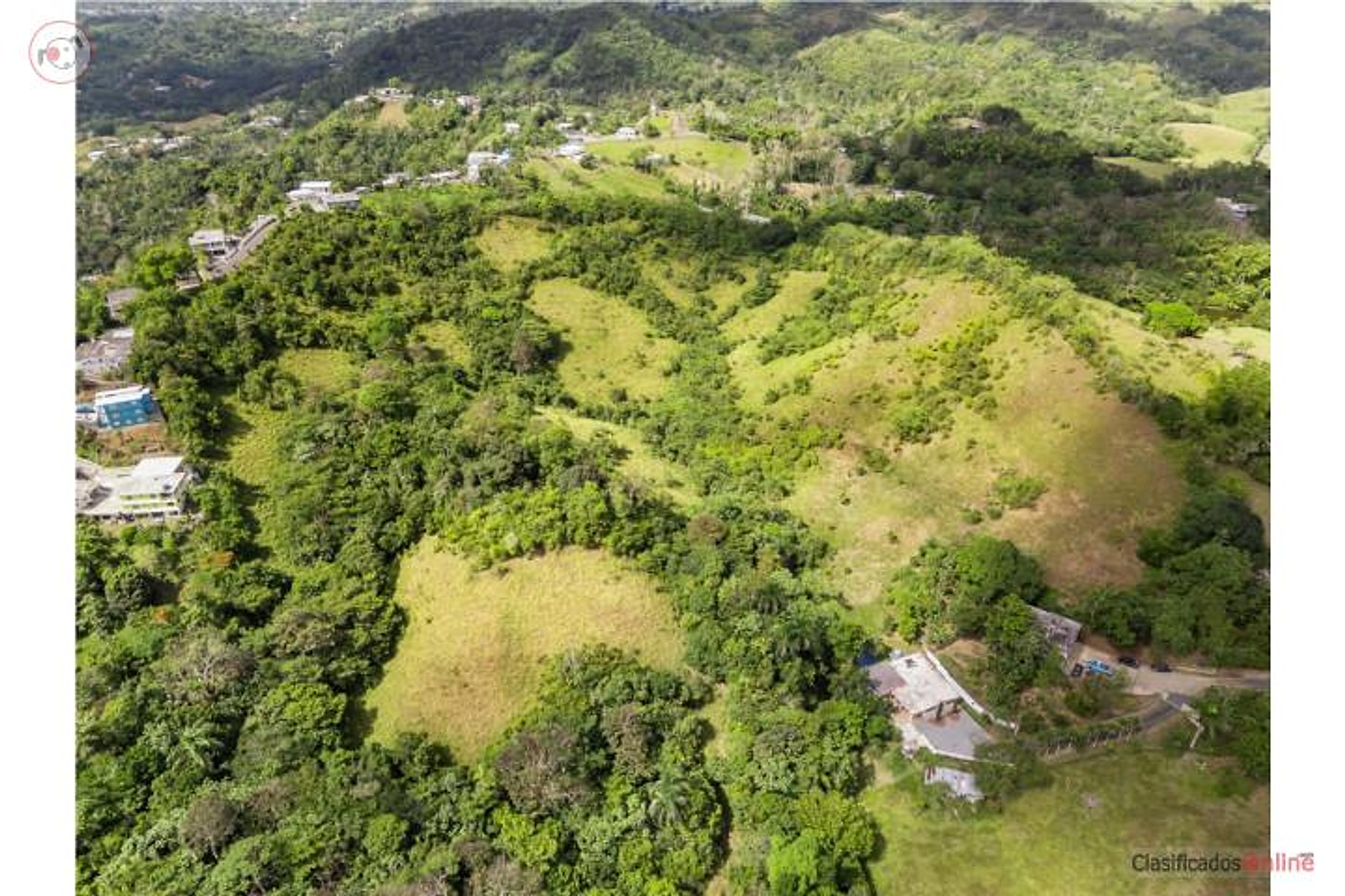
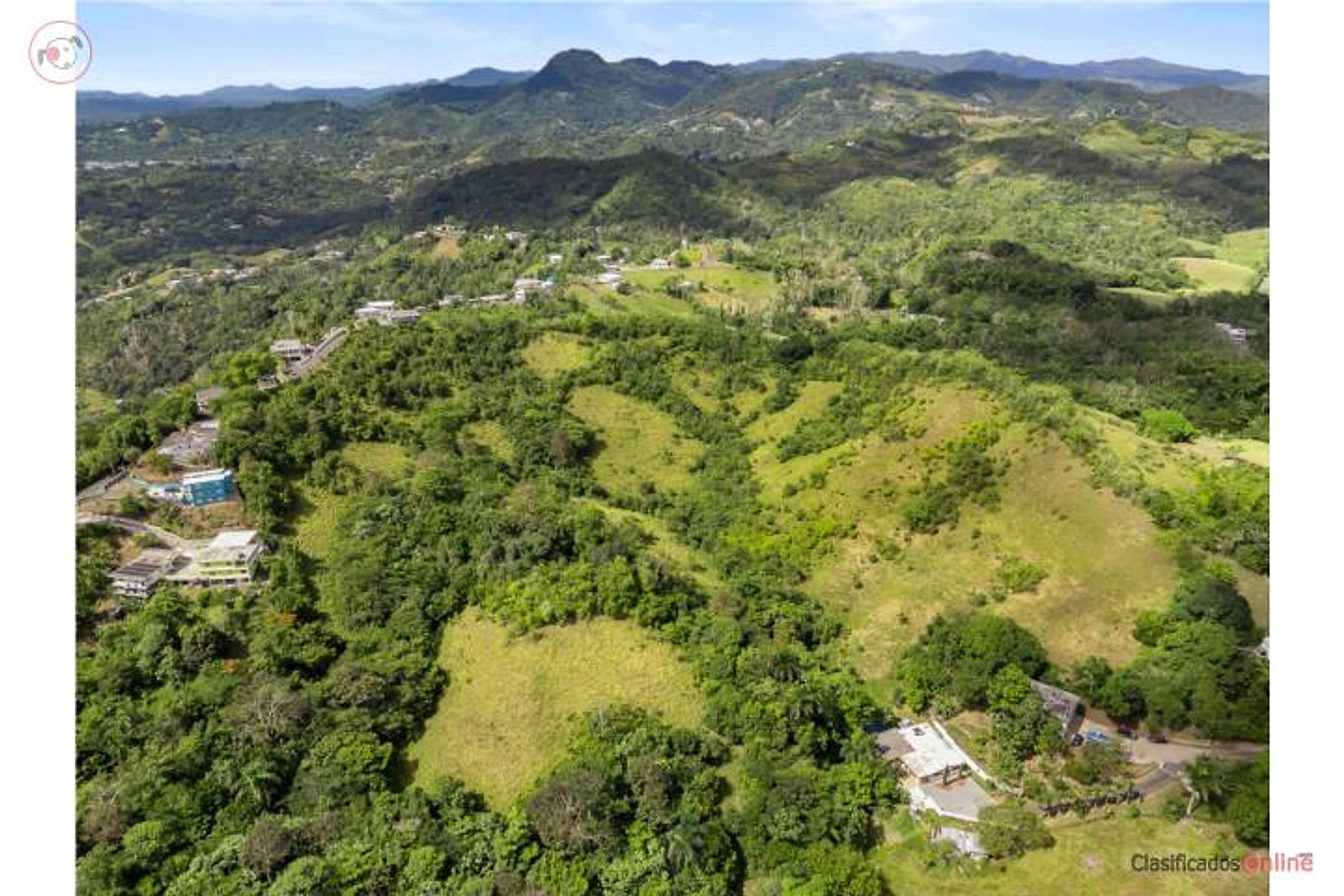
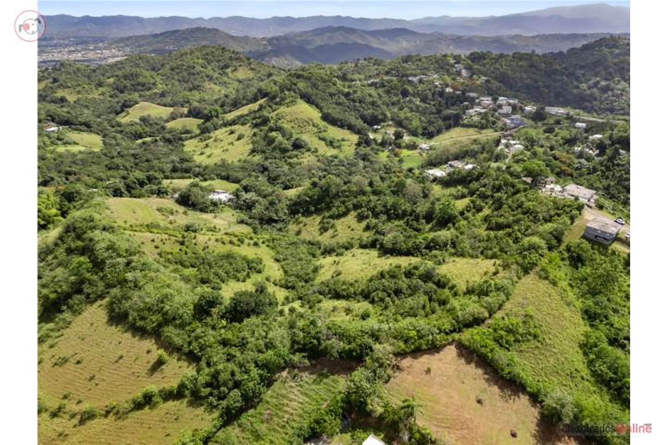
A 15.25-acre finca (15.7 cuerdas / approximately 61,707 m²) in Barrio Tomás de Castro I, Sector Loma Federico, straddling the Caguas–San Lorenzo boundary with access via Road 788 at kilometer 2.1. The land features varied topography and agricultural heritage: it retains the historic slopes once used for rice and tobacco cultivation, making it ideal for resuming agricultural production or developing an agro-tourism project. The property includes a stream (quebrada) and a natural spring—an invaluable resource during drought and water rationing. Soil classification is A-G (General Agricultural), zoned SREP-A, permitting a wide range of uses: single-family or two-family residence, agro-inn, eco-lodge, bed & breakfast, livestock, conventional or hydroponic farming, renewable energy projects, emerging businesses, micro-homes, and more. Strategically located in Puerto Rico's central-metro area with easy access to Caguas and eastern municipalities. A unique opportunity for investors, farmers, or sustainable agro-project developers.
Finca de 15.7 cuerdas (aprox. 61,707 m² / 15.25 acres) en el Barrio Tomás de Castro I, Sector Loma Federico, justo en la colindancia entre Caguas y San Lorenzo — acceso por la Carretera 788 Km 2.1. Terreno con topografía variada e historia agrícola: conserva los antiguos declives utilizados para el cultivo de arroz y tabaco, ideal para retomar producción agrícola o desarrollar un proyecto agroturístico. Cuenta con una quebrada y un ojo de agua natural — un recurso invaluable en tiempos de sequía y racionamiento en la isla. Calificación de suelo A-G (Agrícola General), clasificado SREP-A, lo que permite una amplia gama de usos: vivienda unifamiliar o bifamiliar, agro-hospedería, eco-hospedaje, bed & breakfast, crianza de animales, siembra convencional o hidropónica, proyectos de energía renovable, empresas emergentes, micro casas, y más. Ubicación estratégica en el área central-metro de PR, con fácil acceso a Caguas y los pueblos del área este. Oportunidad única para inversionistas, agricultores o desarrolladores de proyectos agro-sostenibles. Puerto Rico
Location & driveMap, terrain & destinations
Location, terrain & flood
📍 Open in Google Maps — PR-788 Km 2.1, Caguas, Puerto Rico 👁 Street View 🛰 Satellite
⛰ 325 ft elevation 🌊 FEMA Zone X — minimal flood
Located from an address / road-km marker — close to the parcel. Elevation: USGS. Flood zone: FEMA NFHL.
Drive times
| Miramar Bar | 39 min | 24 mi |
|---|---|---|
| Playa Lucía Disc Golf | 43 min | 28.8 mi |
| Albergue Olímpico Disc Golf | 44 min | 25.5 mi |
| SJU Airport | 37 min | 23.7 mi |
| Costco (Caguas) | 9 min | 3.9 mi |
Area notes
Caguas is in the interior (central-metro PR), roughly 45–60 minutes by car from Humacao depending on route; it's cooler and more forested than the coast, with moderate rainfall and lower flood risk than low-lying areas. Barrio Tomás de Castro is rural, hilly terrain typical of the interior—likely good elevation for views if the property's topography favors it, but you must verify this on-site. The area is near the foothills; El Yunque is an hour or more north. Character is agricultural and quiet, not beach-oriented.
CRIM & due diligenceParcel record & questions to verify
🏛️ CRIM property record
No parcel number is safely matched yet. The button opens the official map at the best listing location; confirm the parcel boundary before using its record.
🏛️ Open CRIM map near this property Paste an MLS address or CRIM number
A barrio or municipio pin is not precise enough to assign a CRIM record automatically.
Buildability
Zoning (A-G, SREP-A) explicitly permits single-family homes. Varied topography and water access are positive. Verify: Road 788 access capacity, flood zone/drainage (stream presence requires due diligence), and whether agricultural classification triggers any permitting delays for residential build.
Questions to verify
- Obtain a topographic map and site visit to confirm elevation gain and whether views toward Humacao, the coast, or mountains are actually present—listing does not describe views explicitly.
- Verify access: confirm Road 788 is maintained and can support residential construction traffic and future driveway/utility installation.
- Flood zone and drainage: the stream (quebrada) is a plus for water but requires a hydrological assessment; confirm FEMA flood zone and any easement restrictions.
- Survey and boundary verification: 15.25 acres is substantial; obtain a professional survey to confirm legal boundaries, especially at the Caguas–San Lorenzo line.
- Water rights and natural spring: clarify ownership and legal rights to the spring (ojo de agua); confirm it is not claimed by a neighboring municipality or subject to community use.
- Zoning variance and permitting timeline: although SREP-A is flexible, confirm that a residential single-family build does not require additional environmental or agricultural exemptions, and estimate permitting timeline given the December deadline.
Research & sourcesPhotos, web findings & original listing
What the web found
The property is located in Tomás de Castro, a rural barrio in central Caguas with elevation of 299 ft and historically agricultural character. Recent comparable land sales in Caguas range from $55,000 to $165,000 for smaller parcels; the area experiences high seismic activity.
Area intel: Tomás de Castro barrio has a population of 19,414 (2010 census) and is part of Caguas's rural/agricultural zone. Caguas combines urban center with rolling hills, fertile valleys, and rural communities; several rivers flow through the municipality supporting agricultural heritage. Tomás de Castro Barrio experiences high seismic activity with approximately 149 quakes of magnitude 2+ annually and 27.2 quakes of magnitude 3+ per year; larger earthquakes (magnitude 5+) occur approximately once every 25–30 years on average. Recent comparable sales in Caguas show land prices ranging $55,000–$165,000 for smaller parcels; single-family homes averaged $245,762.
What the sources contribute
Exact-property sources
- ClasificadosOnline primary listing · Aug 3, 2026 · 5 observations retained
$225,000 · 15.25 ac · 16 photos
Sources
Original listingGoogle itGoogle MapsStreet ViewSatellite viewRealtor.com compsPR flood map (FEMA)🏛️ CRIM map near listing (verify parcel)Clasificados ID 4899378 · added 2026-07-27