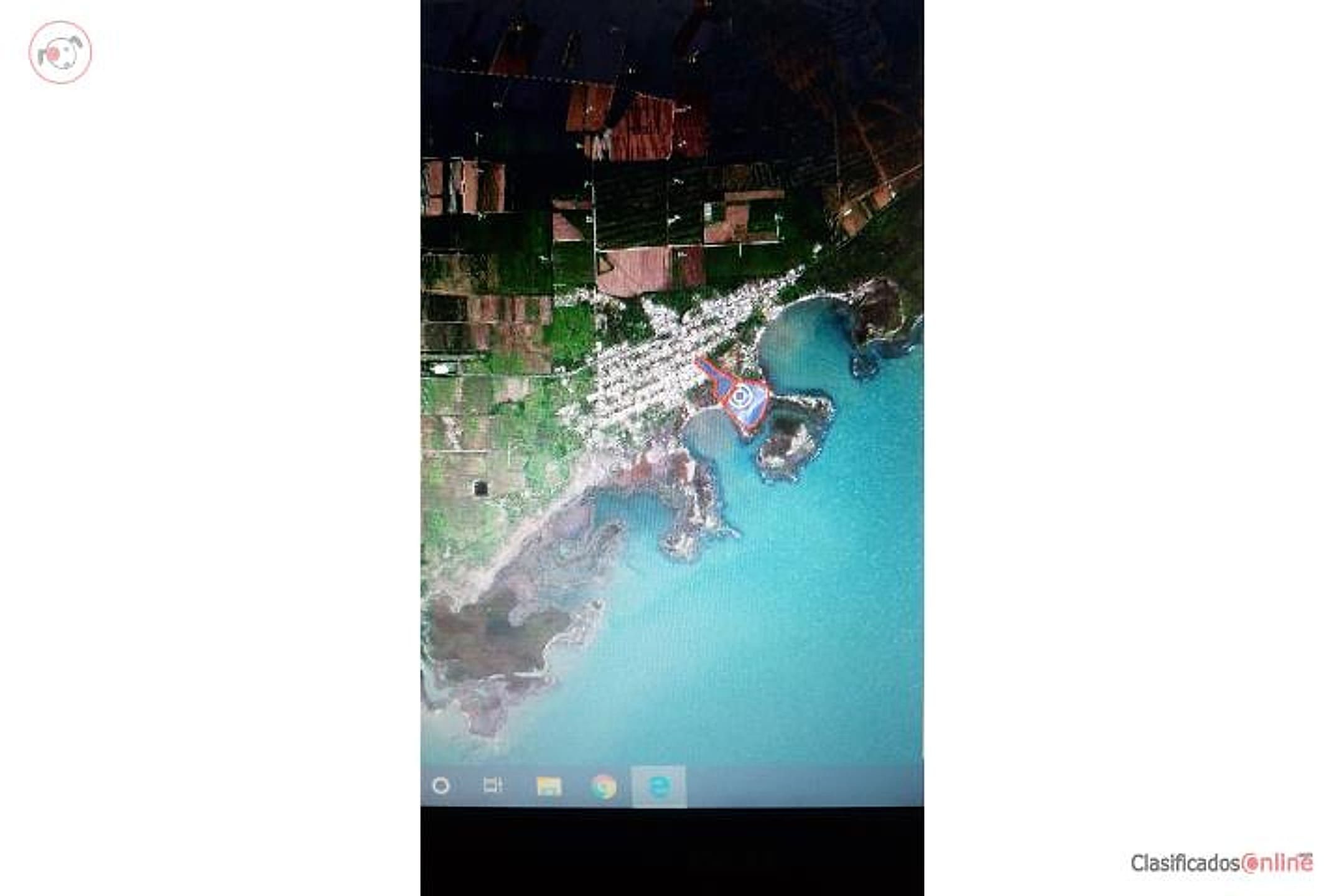
20 cuerdas Oceanfront
Price unavailable
19.42 ac
Your take
What do you like?
Scout suggestions are outlined. Your choices are filled.
Notes
No notes yet.
Scout suggestion
19.42-acre property with private, views and ocean view.
- Land only — no move-in-ready home.
- The existing structure is not move-in ready.
- The current asking price is unavailable.
Listing detailsPrice, facts & description
| Location | Jauca, Santa Isabel |
|---|---|
| Asking price | Unavailable |
| Property | Land only |
| Land | 19.42 acres |
| Photos | 1 reported by Clasificados · 1 available here |
| Listing agent | 787-636-8286 |
Description from Clasificados
Source title: 20 cuerdas Ocean Front
20 cuerdas oceanfront property. Size: 19.42 acres. Located in Santa Isabel municipality, Puerto Rico. Contact: 787-636-8282. No additional details on structures, utilities, road access, zoning, or price provided.
20 cuerdas ocean front 787-636-8286 Puerto Rico
Location & driveMap, terrain & destinations
Location, terrain & flood
📍 Open in Google Maps — Jauca, Santa Isabel, Puerto Rico 👁 Street View 🛰 Satellite
⛰ 103 ft elevation 🌊 FEMA Zone X — minimal flood
Barrio-level pin (listings give barrio + municipio, not the exact lot) — verify the parcel location. Elevation: USGS. Flood zone: FEMA NFHL.
Drive times
| Miramar Bar | 77 min | 57.2 mi |
|---|---|---|
| Playa Lucía Disc Golf | 66 min | 49.2 mi |
| Albergue Olímpico Disc Golf | 34 min | 16.6 mi |
| SJU Airport | 89 min | 59.9 mi |
| Costco (Caguas) | 60 min | 40.4 mi |
Area notes
Santa Isabel is a small, rural municipio on Puerto Rico's southern coast, roughly 20–25 minutes inland and east of Humacao. The area is characterized by lower elevation (coastal plain to gentle hills), subtropical dry to moist climate, and significant seasonal flood/hurricane exposure. Oceanfront properties here typically command premium prices but face strict environmental and coastal-construction regulations. The region has limited high-elevation relief and is more development-sparse than the east-central interior.
CRIM & due diligenceParcel record & questions to verify
🏛️ CRIM property record
No parcel number is safely matched yet. The button opens the official map at the best listing location; confirm the parcel boundary before using its record.
🏛️ Open CRIM map near this property Paste an MLS address or CRIM number
A barrio or municipio pin is not precise enough to assign a CRIM record automatically.
Buildability
Oceanfront lots in Puerto Rico face strict coastal setback regulations (typically 75–100 ft from the vegetation line) and are often in or near flood zones (FEMA A or V). Buildability depends on survey, zoning designation, and whether the property meets current shoreline/environmental protections. Access and utility availability are unknown.
Questions to verify
- Obtain precise price and confirm it falls within the $11k/acre budget ($127.6k max for 19.42 acres).
- Request a professional survey and confirm actual buildable acreage after measuring coastal setbacks (typically 75–100 ft) and any environmental buffers.
- Verify FEMA flood zone designation and review elevation/topography—oceanfront parcels are often in A or V zones, which require expensive mitigation and flood insurance.
- Confirm zoning (residential, commercial, agricultural, or coastal-protected) and whether a single-family home permit is feasible without variances.
- Verify road access (public or private easement), utility availability (water, power, sewer), and any title encumbrances or riparian restrictions.
- Check with Puerto Rico's coastal authority (DRNA) and municipality for any wetland, mangrove, or environmental restrictions that could prevent or delay construction.
Research & sourcesPhotos, web findings & original listing
What the web found
Web searches did not locate this specific 19.42-acre oceanfront parcel on other major platforms or identify the listing agent. The property is in Santa Isabel, on Puerto Rico's south coast, an area with medium coastal flood risk and historical hurricane damage exposure.
Area intel: Santa Isabel is located on the south coast between Juana Díaz and Salinas. Comparable oceanfront land in nearby Salinas included a 12-cuerda oceanfront parcel (Pueblo Ward) with development potential, subject to flood zone restrictions (AE and VE zones requiring mitigation). General Santa Isabel land offerings range from $190,000–$735,000 for multi-cuerda parcels. Puerto Rico's coastal regions face medium coastal flood hazard risk, with erosion and storm surge concerns exacerbated by hurricane history. Coastal construction requires flood insurance and elevation/mitigation measures.
What the sources contribute
Exact-property sources
- ClasificadosOnline primary listing · Aug 3, 2026 · 5 observations retained
19.42 ac · 1 photo · 787-636-8286
Sources
Original listingGoogle itGoogle MapsStreet ViewSatellite viewRealtor.com compsPR flood map (FEMA)🏛️ CRIM map near listing (verify parcel)Clasificados ID 4899350 · added 2026-07-27