Agro-tourism Property with Natural Springs
$130,000
6.8 ac
Your take
What do you like?
Scout suggestions are outlined. Your choices are filled.
Notes
No notes yet.
Scout suggestion
6.8-acre property with private, acreage and rural setting.
- Land only — no move-in-ready home.
- The existing structure is not move-in ready.
Listing detailsPrice, facts & description
| Location | Sumidero, Aguas Buenas |
|---|---|
| Asking price | $130,000 |
| Property | Land only |
| Land | 6.8 acres |
| Property type | Land |
| Photos | 10 reported by Clasificados · 10 available here |
Description from Clasificados
Source title: Agro-turístico, con manantiales
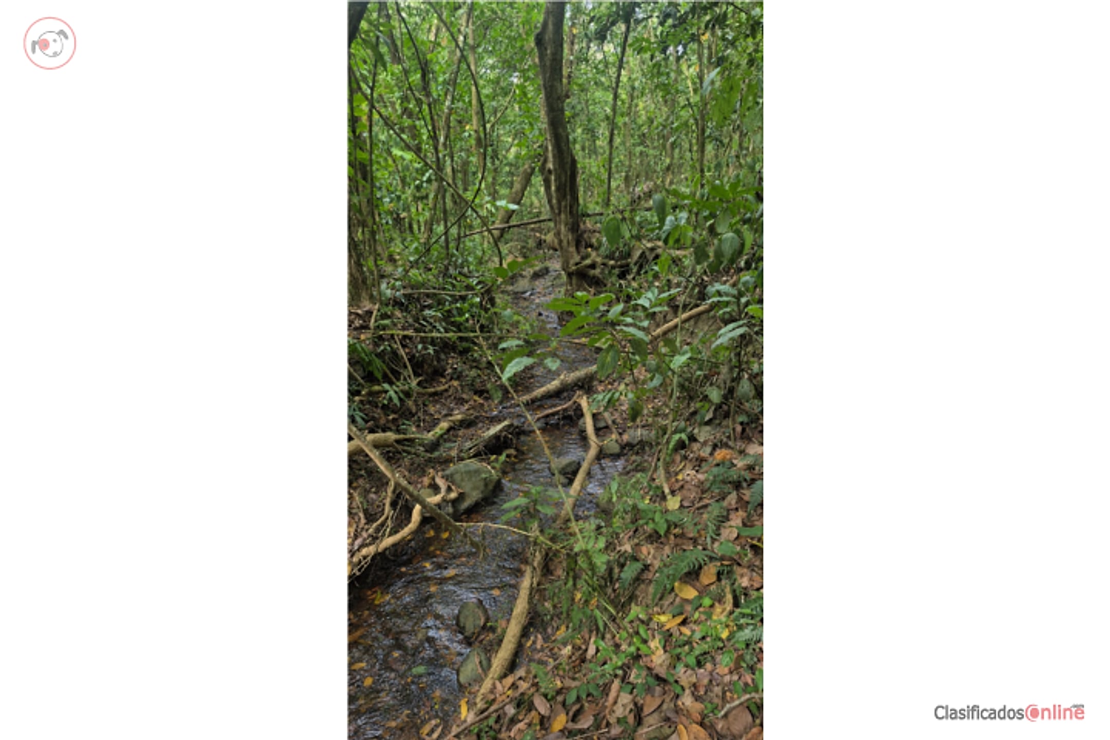
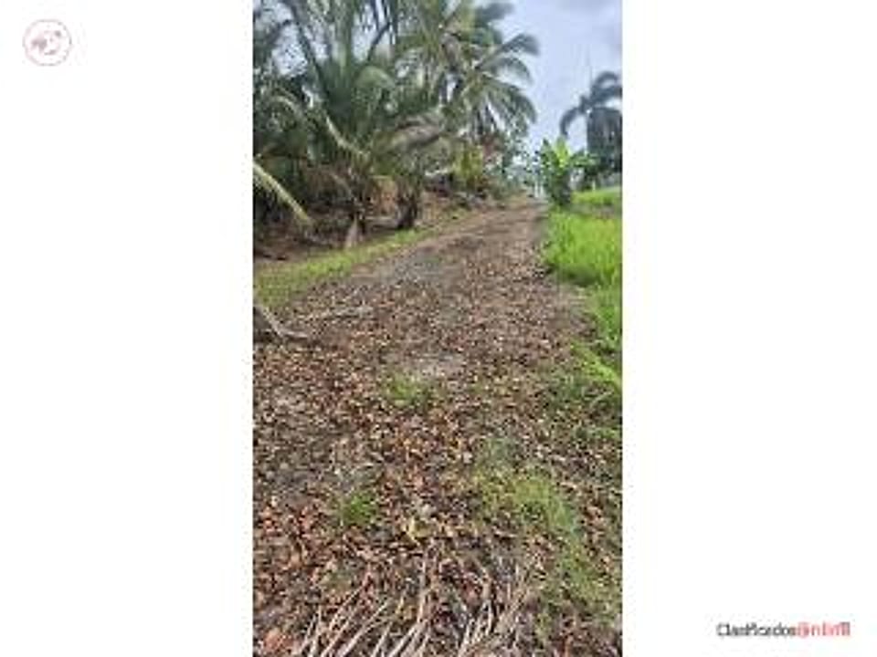
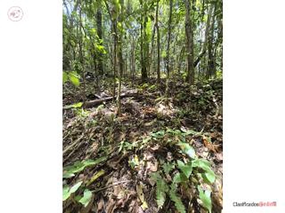
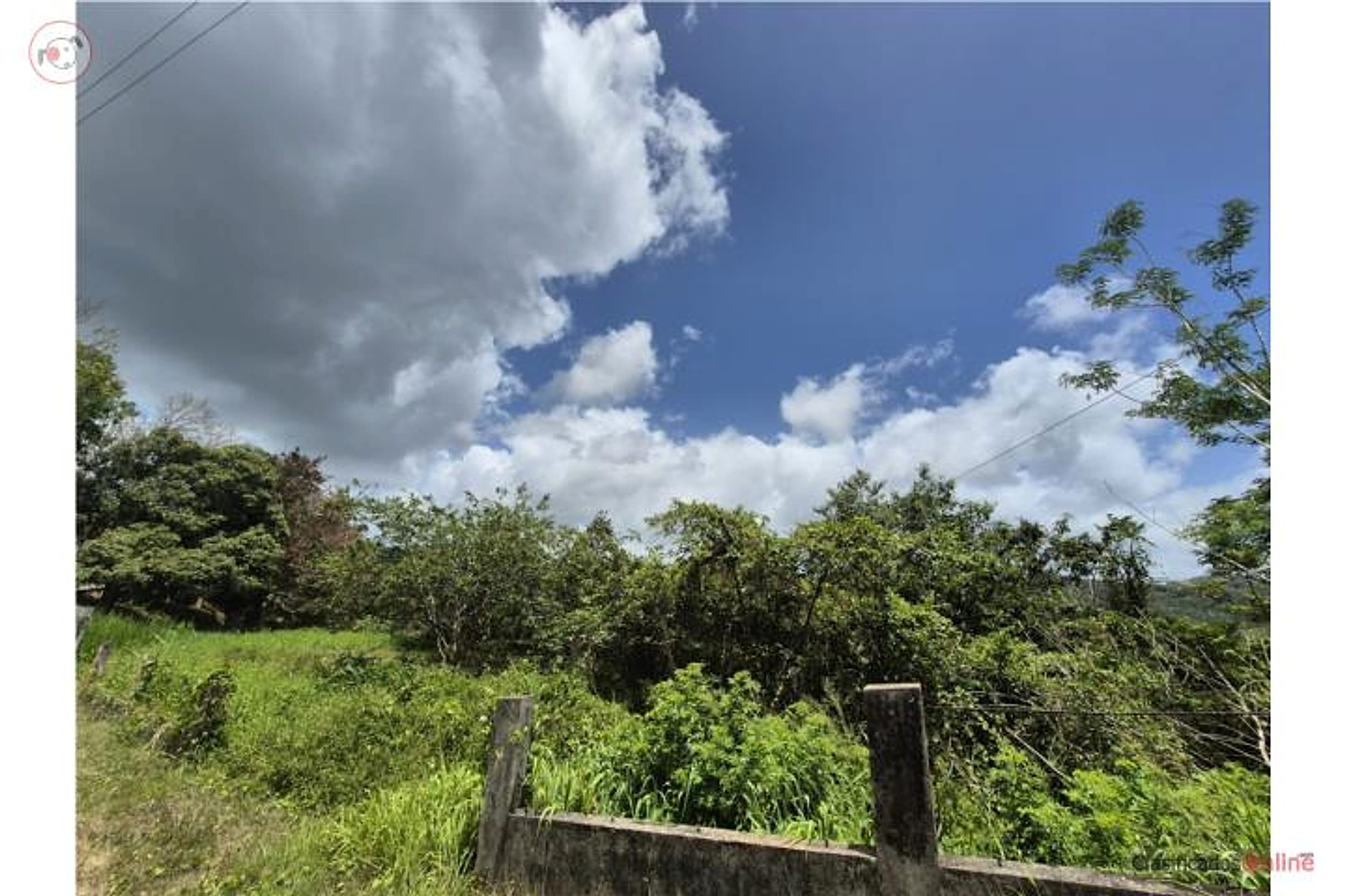
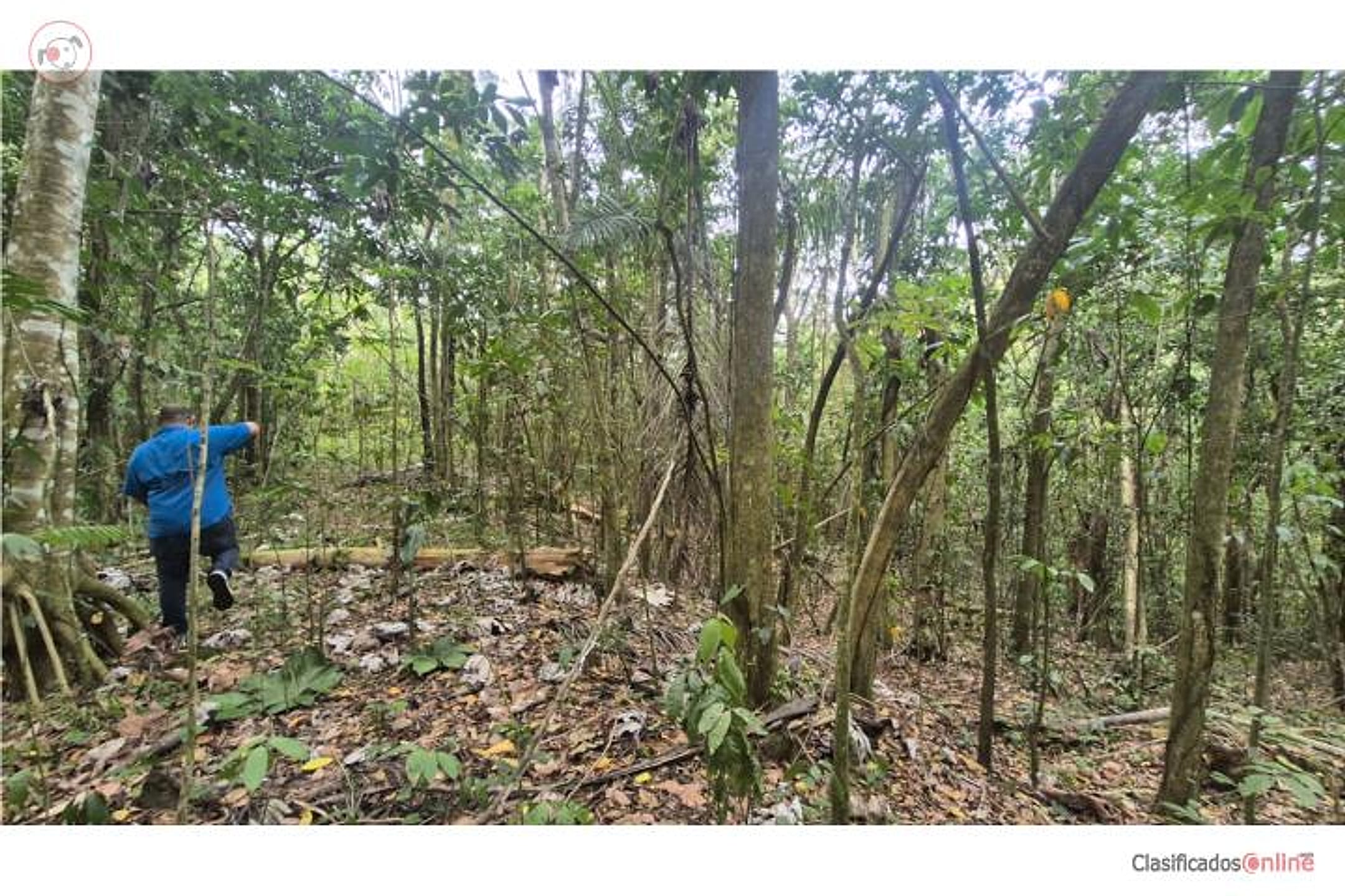
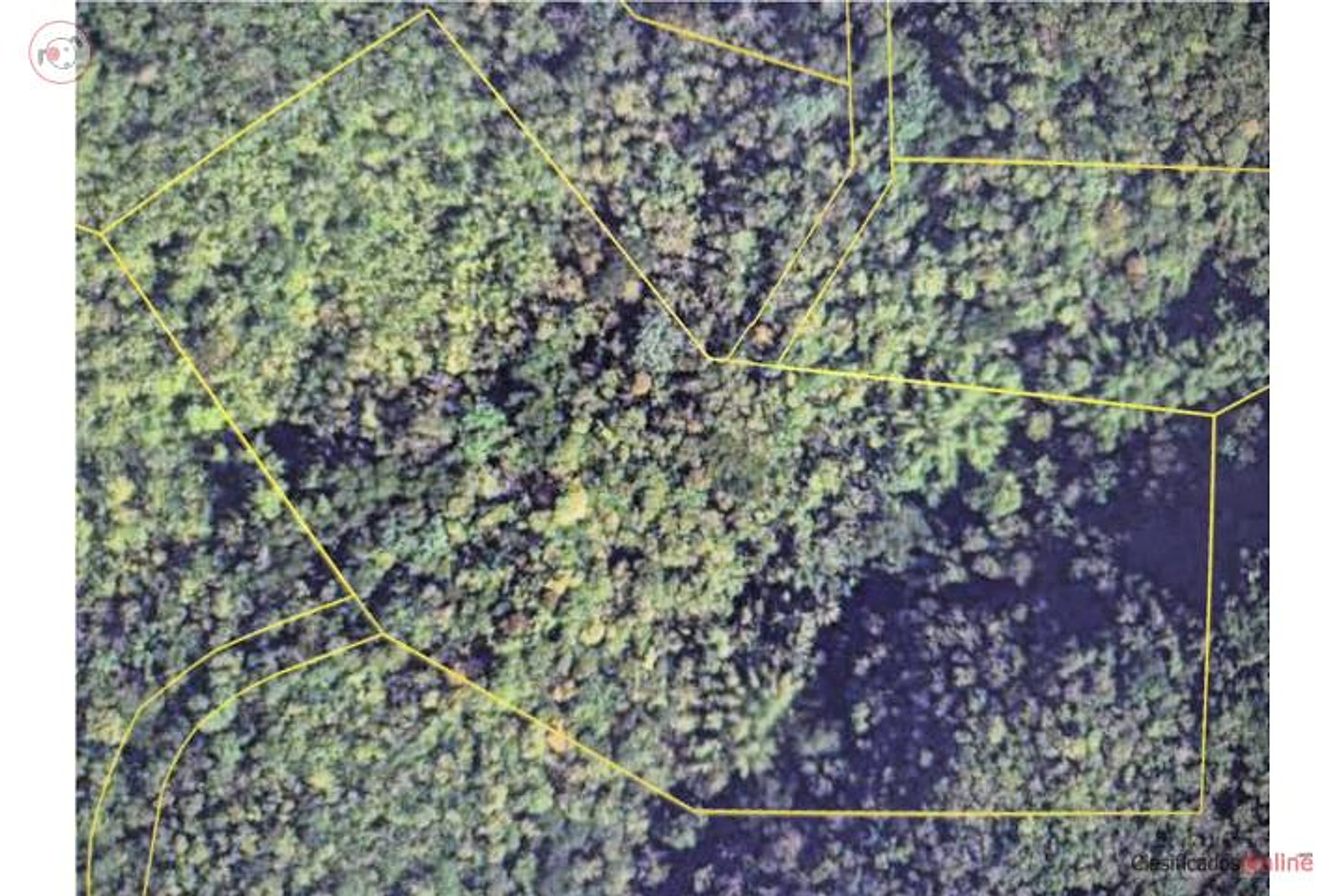
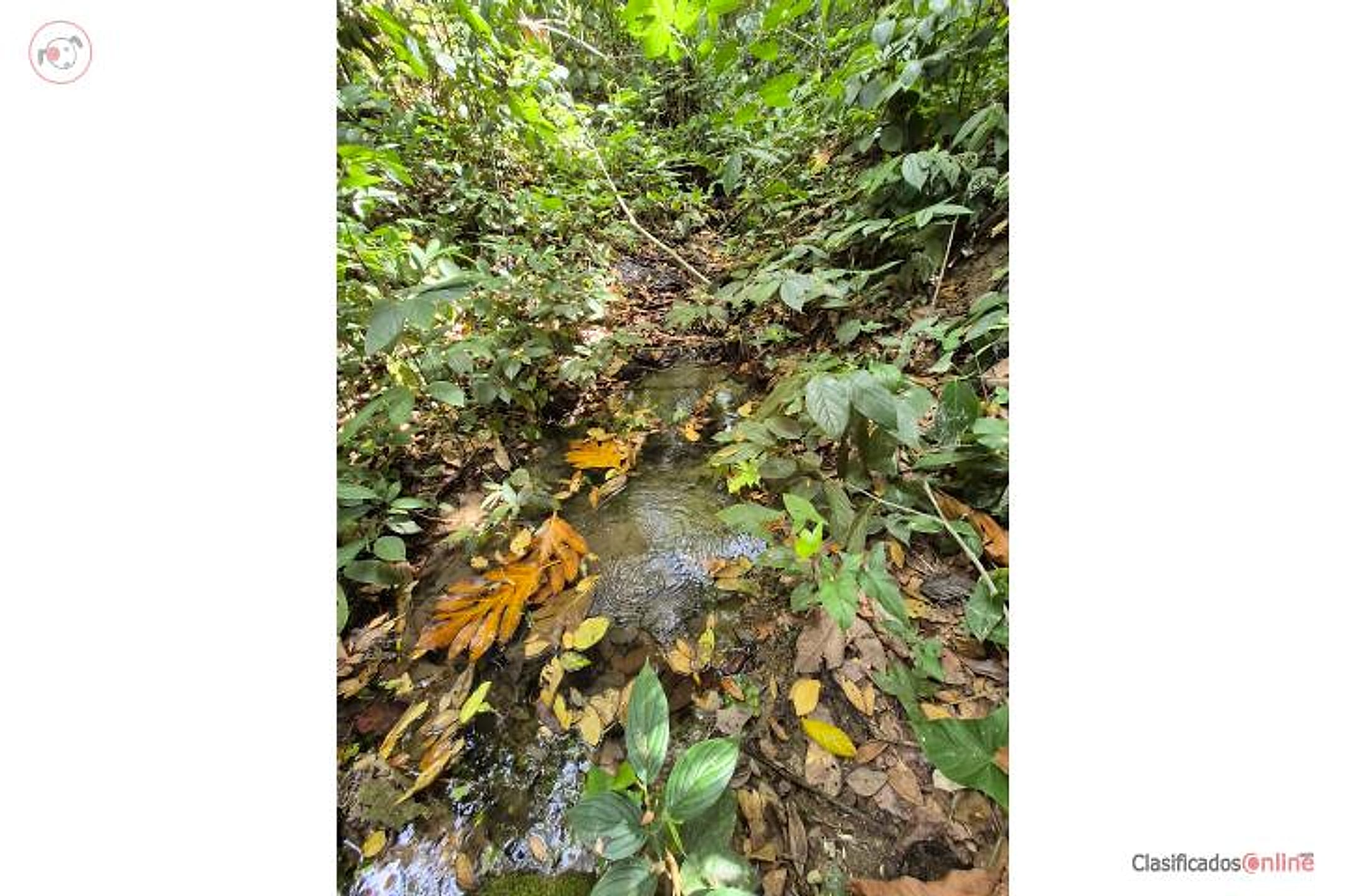
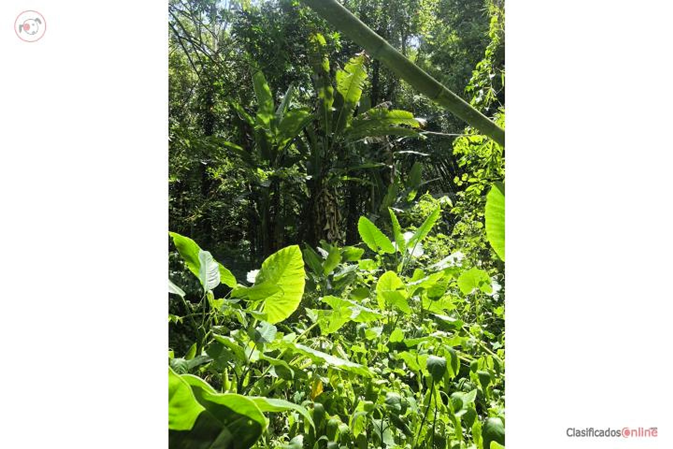
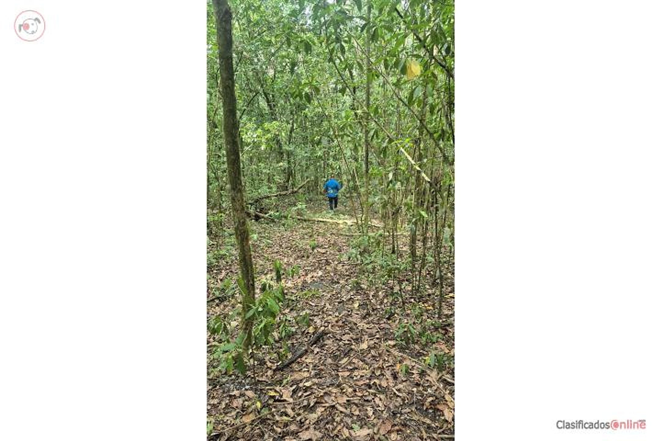
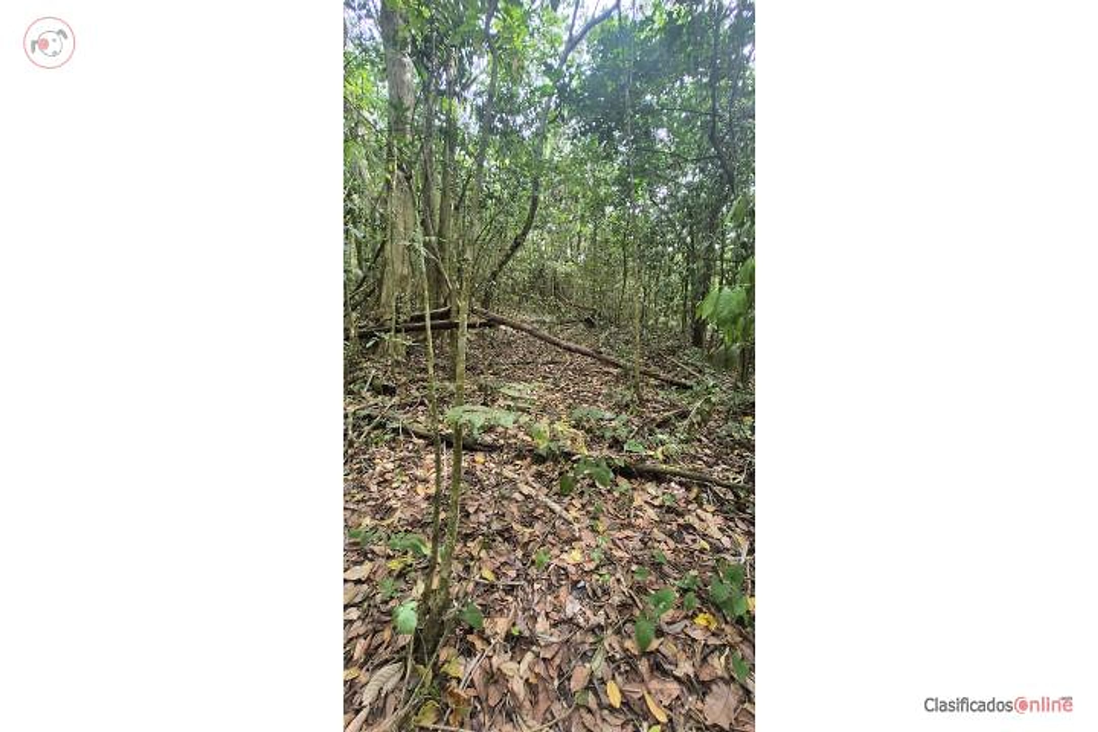
Beautiful 7-cuerda (6.8-acre) farm with varied topography, several natural springs, near Las Cuevas de Aguas Buenas. The property has strong agro-tourism and agricultural potential. Excellent for tourism development or to build a home, in the La Vega sector between Caguas and Aguas Buenas. A true treasure near the metropolitan area to have your own retreat and enjoy the countryside. A site visit can be arranged. Proof of funds required.
Hermosa finca de 7 cuerdas con topografía variada, con varios manantiales, cerca de Las Cuevas de Aguas Buenas. La finca tiene gran potencial turístico y agrícola. Excelente para desarrollo turístico o para construir una vivienda, en el sector La Vega, entre Caguas y Aguas Buenas. Un verdadero tesoro, cerca del área metropolitana, para tener su propio retiro y disfrutar del campo. Se puede coordinar visita. Se requiere evidencia de fondos. Puerto Rico
Location & driveMap, terrain & destinations
Location, terrain & flood
📍 Open in Google Maps — Sumidero, Aguas Buenas, Puerto Rico 👁 Street View 🛰 Satellite
⛰ 1,374 ft elevation 🌊 FEMA Zone X — minimal flood
Barrio-level pin (listings give barrio + municipio, not the exact lot) — verify the parcel location. Elevation: USGS. Flood zone: FEMA NFHL.
Drive times
| Miramar Bar | 51 min | 30.5 mi |
|---|---|---|
| Playa Lucía Disc Golf | 54 min | 35.2 mi |
| Albergue Olímpico Disc Golf | 48 min | 25.3 mi |
| SJU Airport | 43 min | 25.7 mi |
| Costco (Caguas) | 19 min | 9.7 mi |
Area notes
Aguas Buenas is an inland, rural municipio in the central foothills of Puerto Rico—moderate elevation (ca. 800–1,200 ft in town), roughly 20–25 km west of Humacao, so a 30–45 min drive to their friends. The area has significant karst topography (hence Las Cuevas) and spring-fed streams; it sits in the Luquillo mountain rain shadow but still receives decent rainfall. Characterized by small farms, coffee heritage, and a quieter, green landscape; flooding risk is lower than coastal zones but drainage on varied terrain must be verified.
CRIM & due diligenceParcel record & questions to verify
🏛️ CRIM property record
No parcel number is safely matched yet. The button opens the official map at the best listing location; confirm the parcel boundary before using its record.
🏛️ Open CRIM map near this property Paste an MLS address or CRIM number
A barrio or municipio pin is not precise enough to assign a CRIM record automatically.
Buildability
Land appears suitable for residential construction; varied topography may require grading. Proximity to agricultural zone and Cuevas tourist area suggests no obvious zoning block for single-family home, but water rights for the springs and any local agricultural preservation rules must be confirmed.
Questions to verify
- Obtain a detailed topographic survey and confirm actual elevation range; verify whether 'majestic views' (mountain or valley vistas) are genuinely present from buildable parcels.
- Confirm water rights to the springs: are they potable, do they have year-round flow, and are there any restrictions on extraction or use?
- Verify zoning classification (agricultural, rural residential, or mixed-use) and confirm no variance is needed to build a single-family home; check with Aguas Buenas municipal planning office.
- Commission a Phase I environmental review and flood/drainage assessment, especially given karst terrain and spring presence (subsurface voids risk).
- Walk the property with a civil engineer to assess road access, utility availability (power, water, septic feasibility), and any deed restrictions or easements.
- Request proof of clear title and confirm the property is not in an agricultural land trust or subject to preservation covenants that limit residential use.
Research & sourcesPhotos, web findings & original listing
What the web found
Aguas Buenas is located in the Central Mountain Range, known for natural springs and agritourism; comparable vacant land in the area ranges from $46,500 to $149,000 for 4–10 acre parcels.
Area intel: Aguas Buenas municipality spans 30.12 square miles in the Cordillera Central mountain range, 30 minutes from San Juan. The area is known for freshwater springs and has emerged as an agritourism destination. Recent comparable land sales in Aguas Buenas show prices of $75,000–$149,000 for parcels of 1–10 acres. The municipality sits at elevations of 180–450 m with annual precipitation of 66.5 inches and average temperature of 75°F. Rivers including the Bayamón and tributaries of the Río Grande de Loíza flow through the area. A nature reserve protecting caves and surrounding forest (nearly 1,800 acres) exists in the municipality.
What the sources contribute
Source differences to verify
- property type: Land from ClasificadosOnline; Single Family Residence from ClasificadosOnline
Exact-property sources
- ClasificadosOnline primary listing · Aug 3, 2026 · 10 observations retained
$130,000 · 6.8 ac · 10 photos
Sources
Original listingGoogle itGoogle MapsStreet ViewSatellite viewRealtor.com compsPR flood map (FEMA)🏛️ CRIM map near listing (verify parcel)Clasificados ID 4896197 · added 2026-07-25