BO. LA PIEDRA, FINCA (FARM/ESTATE) IN CAYEY
$795,000
118.49 ac
Your take
What do you like?
Scout suggestions are outlined. Your choices are filled.
Notes
No notes yet.
Scout suggestion
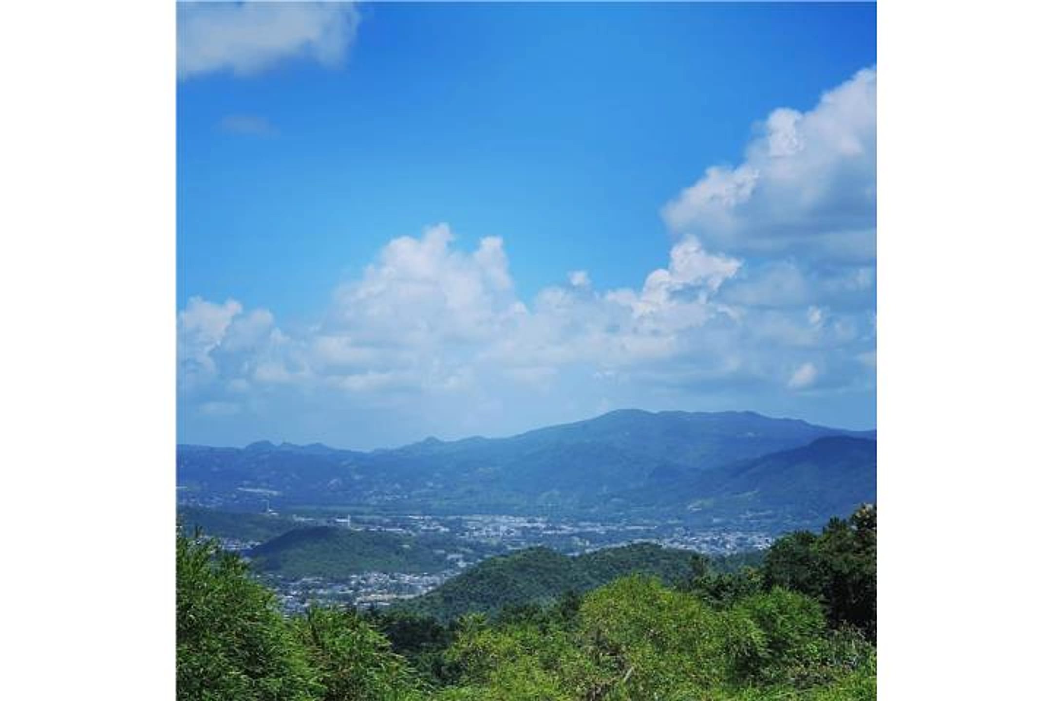
118.49-acre property with private, nature / trees and views.
- Land only — no move-in-ready home.
- The existing structure is not move-in ready.
Listing detailsPrice, facts & description
| Location | La Piedra, Cayey |
|---|---|
| Asking price | $795,000 |
| Property | Land only |
| Listing address | SR 7722 km 3.1 Int. La Piedra, Cayey, Puerto Rico |
| Land | 118.49 acres |
| Property type | Land |
| Listing status | For sale |
| MLS number | 53999 |
| Photos | 9 reported by Clasificados · 9 available here |
| Listing agent | Rose · Keller Williams Puerto Rico |
Description from Clasificados
Source title: BO. LA PIEDRA, FINCA EN CAYEY
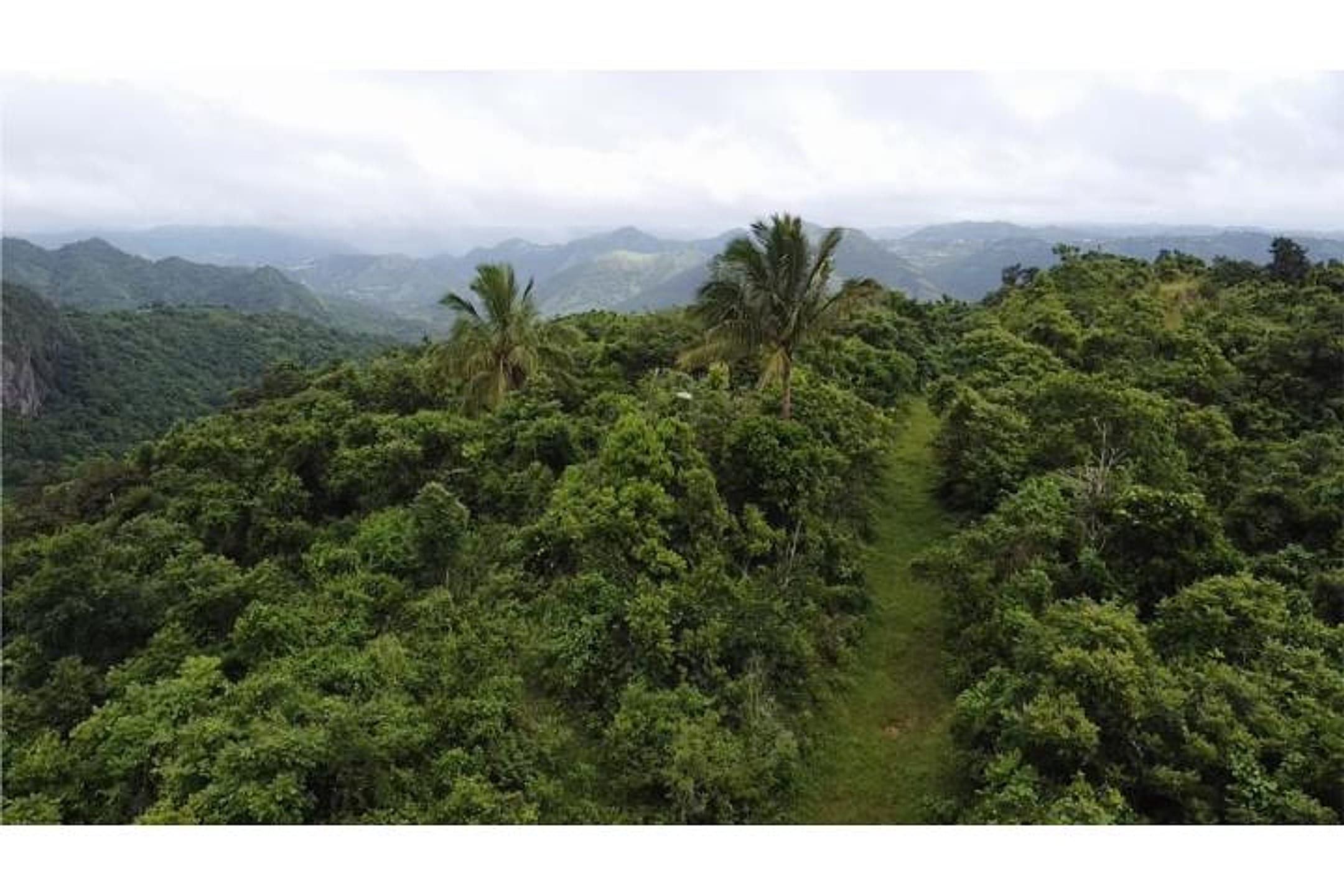
Discover this excellent investment opportunity in Cayey. The finca comprises 122 cuerdas (118.584 acres / 483,498 m²), located at SR 7722 km 3.1 Int. La Piedra, Cayey, Puerto Rico. Privileged location with beautiful panoramic views, just 20 minutes from the Luis A. Ferré Expressway (PR-52) and 23 minutes from Guavate and Loma de los Reyes, destinations renowned for their gastronomy, music, and festive atmosphere. Moreover, it offers direct access to the Panoramic Route and is situated right next to the famous chinchorro (rustic seafood restaurant) El Escondite, recommended by the Puerto Rico Tourism Company in Discover Puerto Rico. The property offers segregation potential into approximately 25 lots of 5 cuerdas each—ideal for investment projects with staggered returns. Variable topography, access to water and electricity, A-B land classification. Excellent option for eco-hospitality projects, agriculture, residential development, or cultural and gastronomic centers. At a competitive price, this finca is a strategic alternative for investors seeking to maximize return on investment in a location with high cultural and tourist appeal. Precertification letter or proof of funds required to schedule viewings. Puerto Rico
Descubre esta excelente oportunidad de inversión en Cayey. La finca cuenta con 122 cuerdas de terreno (118.584 acres / 483,498 m2), localizada en SR 7722 km 3.1 Int. La Piedra, Cayey, Puerto Rico. Ubicación privilegiada con hermosas vistas panorámicas a solo 20 minutos del Expreso Luis A. Ferré (PR-52) y 23 minutos de Guavate y la Loma de los Reyes, destinos reconocidos por su gastronomía, música y ambiente festivo. Además, ofrece acceso directo a la Ruta Panorámica y está localizada justo al lado del famoso chinchorro El Escondite, recomendado por la Compañía de Turismo en Discover Puerto Rico. La propiedad ofrece potencial de segregación en aproximadamente 25 lotes de 5 cuerdas cada uno, perfecto para proyectos de inversión con retorno escalonado. Topografía variable, acceso a agua y electricidad, clasificación de terreno A-B. Excelente opción para proyectos de ecohospedería, agricultura, desarrollo residencial o centros culturales y gastronómicos. Con un precio competitivo, esta finca es una alternativa estratégica para inversionistas que buscan maximizar la ganancia de su inversión en un lugar con alto atractivo cultural y turístico. Se requiere carta de precalificación o evidencia de fondos para coordinar citas. Puerto Rico
Location & driveMap, terrain & destinations
Location, terrain & flood
📍 Open in Google Maps — La Piedra, Cayey, Puerto Rico 👁 Street View 🛰 Satellite
⛰ 2,208 ft elevation 🌊 FEMA Zone X — minimal flood
Barrio-level pin (listings give barrio + municipio, not the exact lot) — verify the parcel location. Elevation: USGS. Flood zone: FEMA NFHL.
Drive times
| Miramar Bar | 73 min | 43.9 mi |
|---|---|---|
| Playa Lucía Disc Golf | 77 min | 48.7 mi |
| Albergue Olímpico Disc Golf | 44 min | 14.8 mi |
| SJU Airport | 71 min | 43.6 mi |
| Costco (Caguas) | 43 min | 24.2 mi |
CRIM & due diligenceParcel record & questions to verify
🏛️ CRIM property record
No parcel number is safely matched yet. The button opens the official map at the best listing location; confirm the parcel boundary before using its record.
🏛️ Open CRIM map near this property Paste an MLS address or CRIM number
A barrio or municipio pin is not precise enough to assign a CRIM record automatically.
Buildability
Variable topography and A-B land classification support building. Access to water and electricity confirmed. No flood-zone or agricultural restriction mentioned; however, verify septic/well feasibility on 118 acres, confirm road easement/title to SR 7722 access, and confirm that A-B zoning permits single-family (not just commercial/resort development).
Questions to verify
- Confirm what 'land economics' threshold the couple requires; determine if this acreage and price meet their investment criteria.
- Verify A-B classification details, zoning, and permitted uses (eco-hospitality, agriculture, residential development) against couple's actual development intent.
- Survey segregation plan and permitting pathway for ~25 lots; confirm utilities (water/electricity noted) are adequate for proposed density.
- Confirm no environmental or cultural heritage restrictions (Panoramic Route proximity, El Escondite neighbor status) that affect development.
- Walk the property to identify fruit trees, water sources (streams/springs), and actual site access/road condition; verify no hazards or encroachments.
- Clarify title, lien status, and any outstanding property tax or municipal liens; confirm no boundaries overlap with adjacent Chinchorro restaurant or public route easements.
Research & sourcesPhotos, web findings & original listing
What the photos show
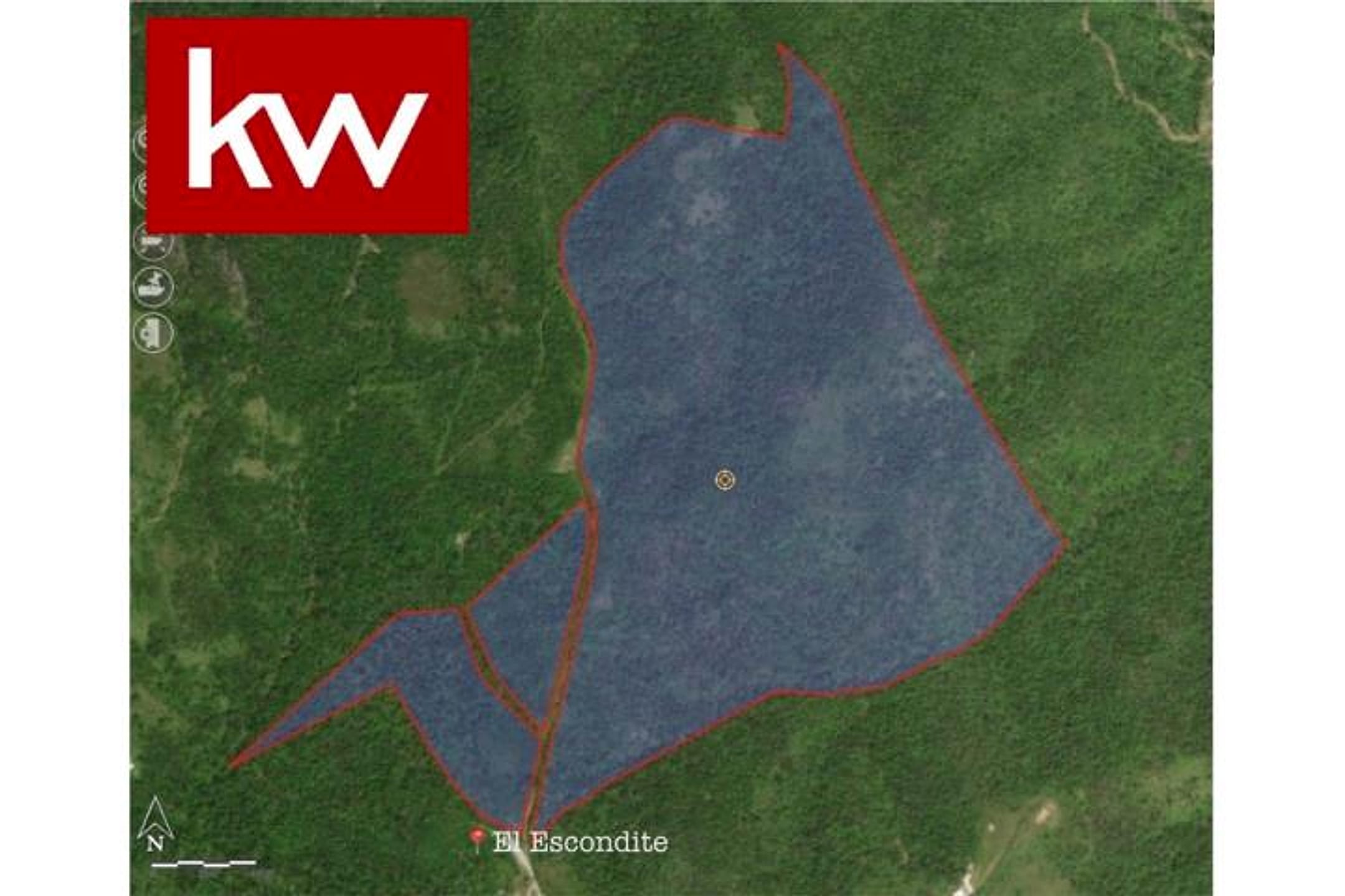
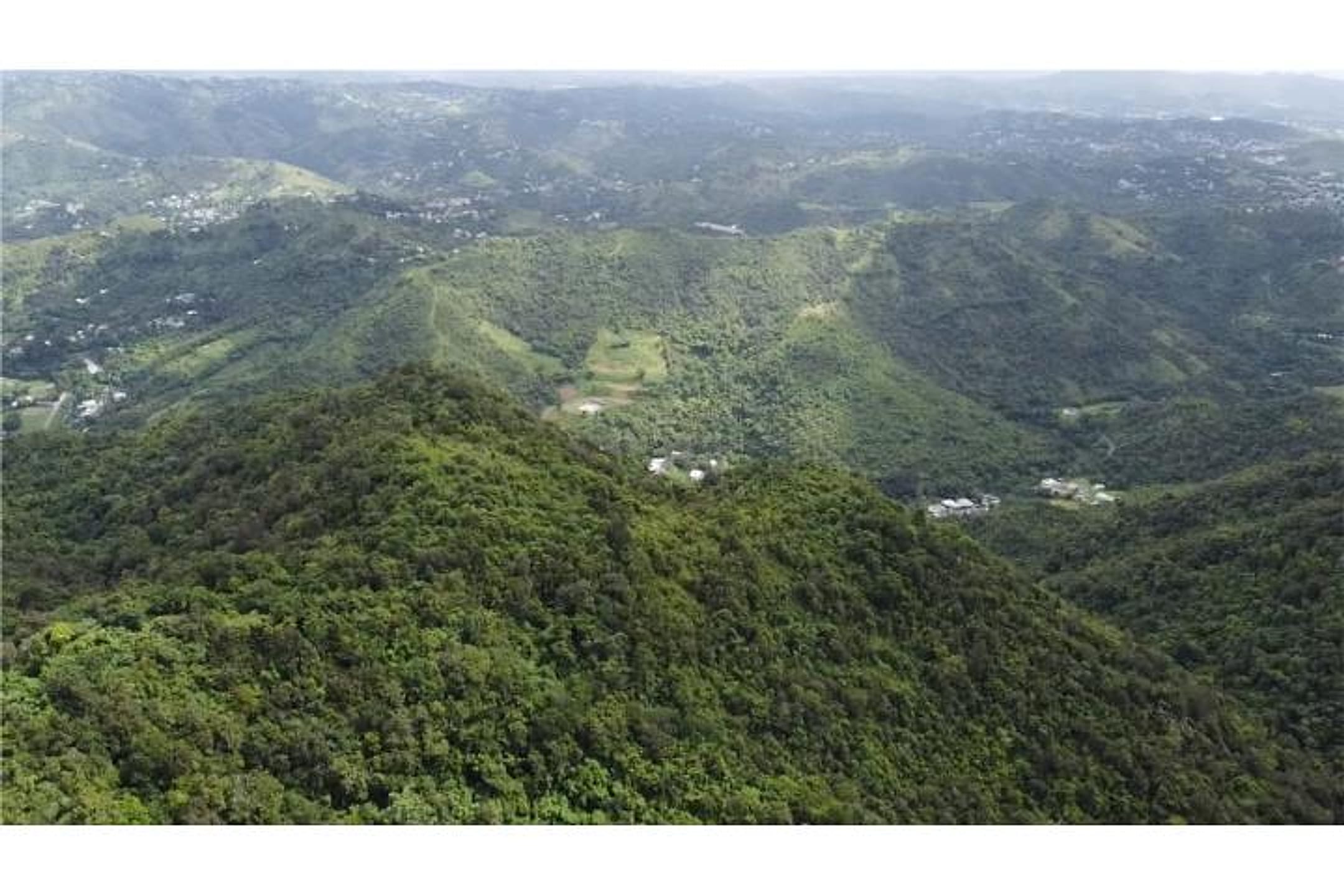
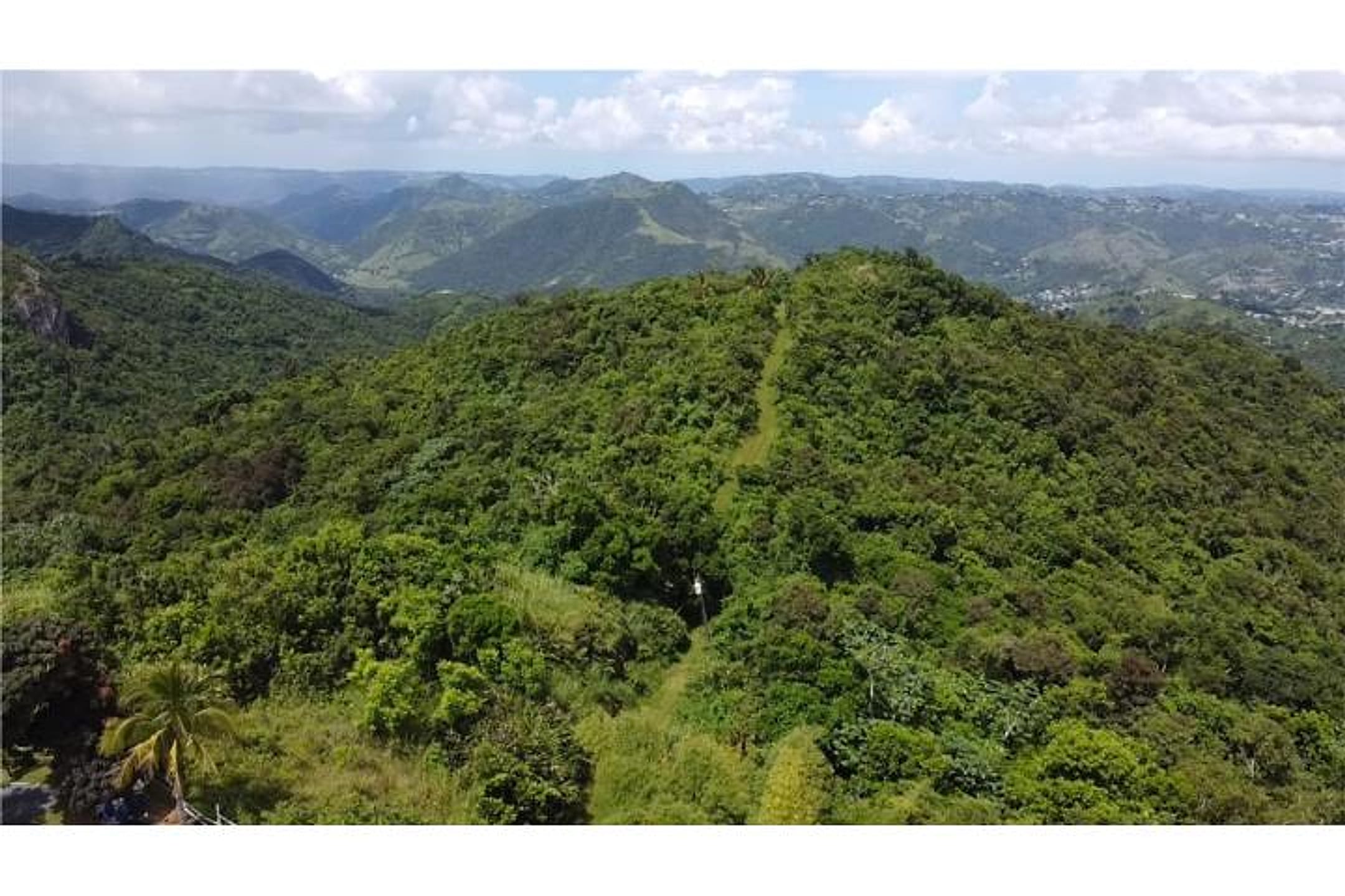
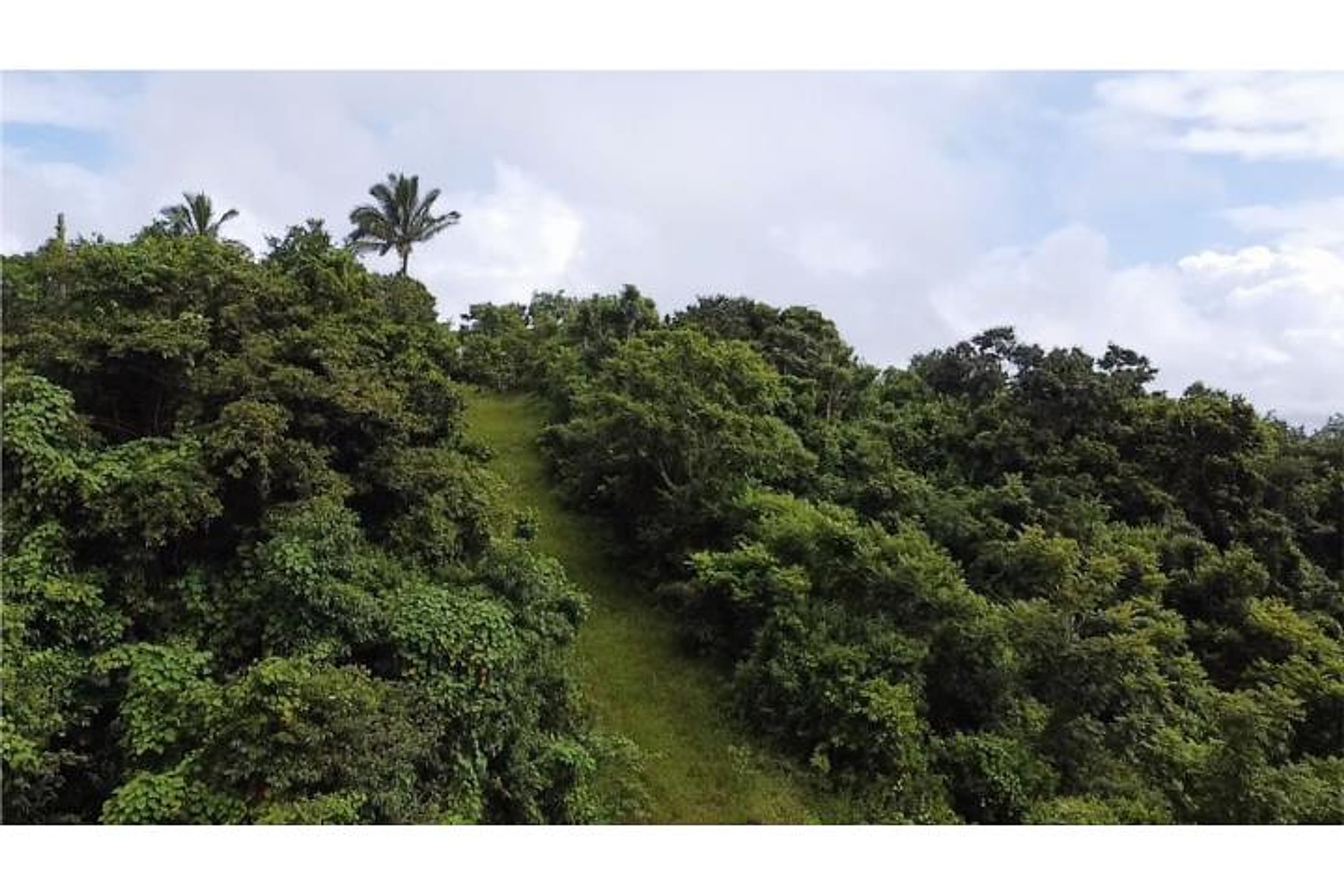
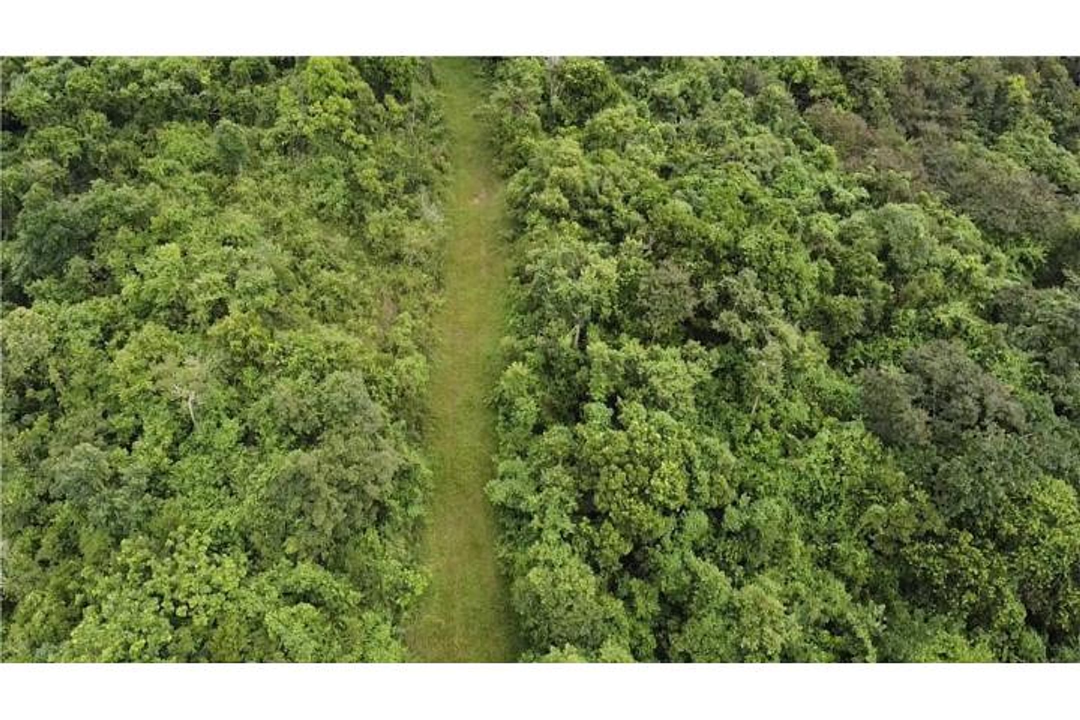
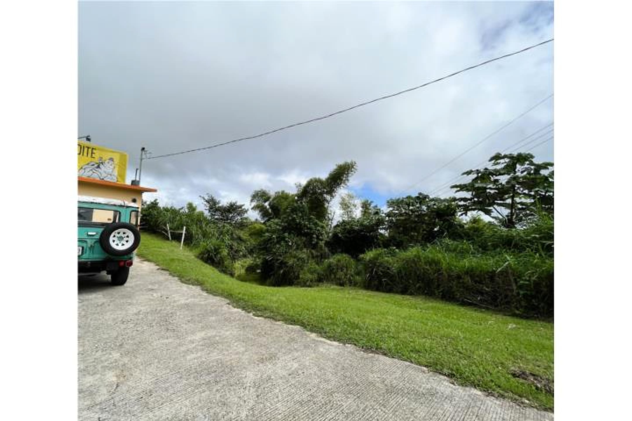
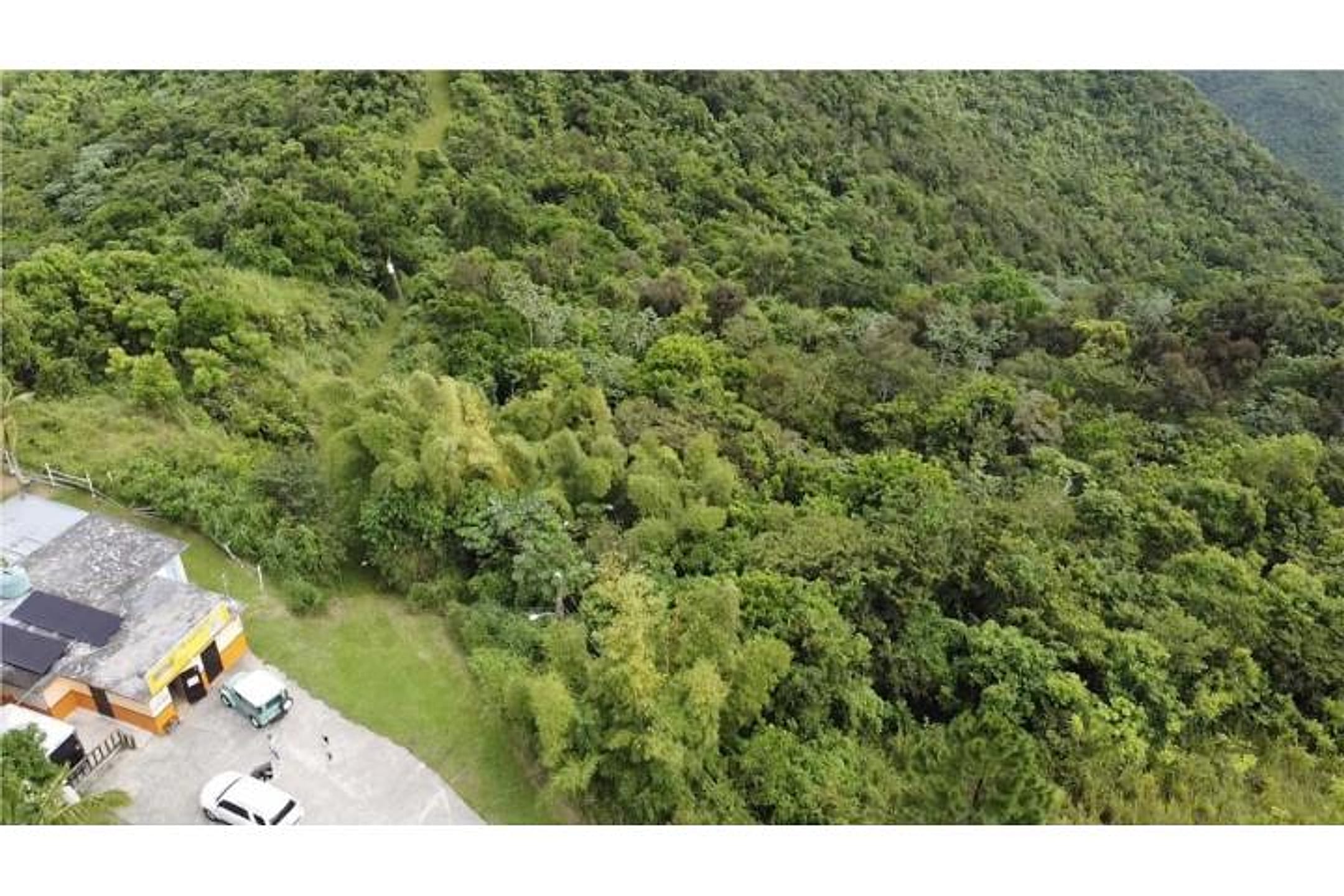
Photo 1 is a satellite/map overlay showing the finca boundary in blue against green terrain. Photos 2–9 are ground-level views revealing steep to moderate mountainous terrain with dense rainforest canopy throughout; lush, vibrantly green vegetation consistent with high rainfall. Photos 2, 3, 5, 9 show expansive valley and mountain vistas—clear panoramic views in multiple directions. Photos 4, 6, 8 reveal narrow cleared strips (roads or pathways) cutting through dense forest, suggesting active access and potential for segregation/development. Photo 7 shows a paved road with utility poles and partial structures, indicating infrastructure presence. No river or stream visible in these frames. No fruit trees distinctly identifiable. No existing house or structures of sufficient clarity to assess habitation readiness. Privacy is strong—dense forest buffer on all sides.
Scout-read from listing photos. Verify against the images.
Other things spotted in the photos
AI-read from the listing photos — unverified, eyeball against the actual photo before relying on it.
- Address:
El Escondite— Location label visible on map in photo 1
What the web found
Web search found one exact-match property listing on a Keller Williams agent site (SR-7722 Km 3.1, La Piedra, Cayey) with the same acreage (122 cuerdas ≈118.6 acres) and location barrio, confirming property identity. A comparable land listing shows the 100-acre adjacent tract in the same barrio. The property sits at approximately 2,100 feet elevation in a humid mountain climate with significant annual rainfall (100 inches), in the Sierra de Cayey range, with topography described as variable and zoned for multiple uses including eco-tourism and agriculture.
Also found online:
- Keller Williams Puerto Rico — Exact property match with same location (SR 7722 km 3.1 Int. La Piedra), identical acreage (122 cuerdas / 118.584 acres), investment finca listing with subdivision and development potential details.
Seller / agent: Rose, Keller Williams Puerto Rico
Area intel: Property located in mountainous barrio at approximately 2,100 feet elevation. Cayey is situated in the Sierra de Cayey range in southeast Puerto Rico. Climate is humid, rainy, and mild compared to lower elevations; average annual rainfall is 100 inches with record 24-hour rainfall of 20.87 inches. Subtropical high climate with summer highs 82–88°F and winter lows 57–63°F. Topography variable with property zoned A-B allowing multiple agricultural, commercial, and residential uses. Adjacent comparable listing (ID 4354654) shows 100-acre property in same barrio, Barrio-La Piedra, also describing mountain location near Aibonito border at 2,100 feet elevation with municipal water and electricity. The mountain terrain and high precipitation require builders to plan for drainage and slope stability.
What the sources contribute
Source differences to verify
- lot size: 118.49 from ClasificadosOnline; 118.584 from Keller Williams Puerto Rico
Exact-property sources
- ClasificadosOnline primary listing · Aug 3, 2026 · 10 observations retained
$795,000 · 118.49 ac · 9 photos - Keller Williams Puerto Rico same-property listing · Jul 31, 2026
$795,000 · For sale · MLS 53999 · 118.584 ac · SR 7722 km 3.1 Int. La Piedra, Cayey, Puerto Rico · Rose
Match: Same municipio (Cayey), barrio (La Piedra), property size (122 cuerdas = 118.584 acres, matching the 118.49 acres of original listing), same finca/land type, same road and kilometer marker (PR-7722 km 3.1), and description of varied topography with access to water and electricity in A-B zoned terrain.
Sources
Original listingKeller Williams Puerto Rico listingGoogle itGoogle MapsStreet ViewSatellite viewRealtor.com compsPR flood map (FEMA)🏛️ CRIM map near listing (verify parcel)Clasificados ID 4866762 · MLS 53999 · added 2026-07-31