Bo. Monte Grande, Finca in Salinas
$875,000
194.24 ac
Your take
What do you like?
Scout suggestions are outlined. Your choices are filled.
Notes
No notes yet.
Scout suggestion
194.24-acre property with private, views and mountain setting.
- Land only — no move-in-ready home.
- The existing structure is not move-in ready.
Listing detailsPrice, facts & description
| Location | Hacienda Salinas, Salinas |
|---|---|
| Asking price | $875,000 |
| Property | Land only |
| Land | 194.24 acres |
| Property type | Land |
| Photos | 8 reported by Clasificados · 8 available here |
Description from Clasificados
Source title: BO. MONTE GRANDE, FINCA EN SALINAS
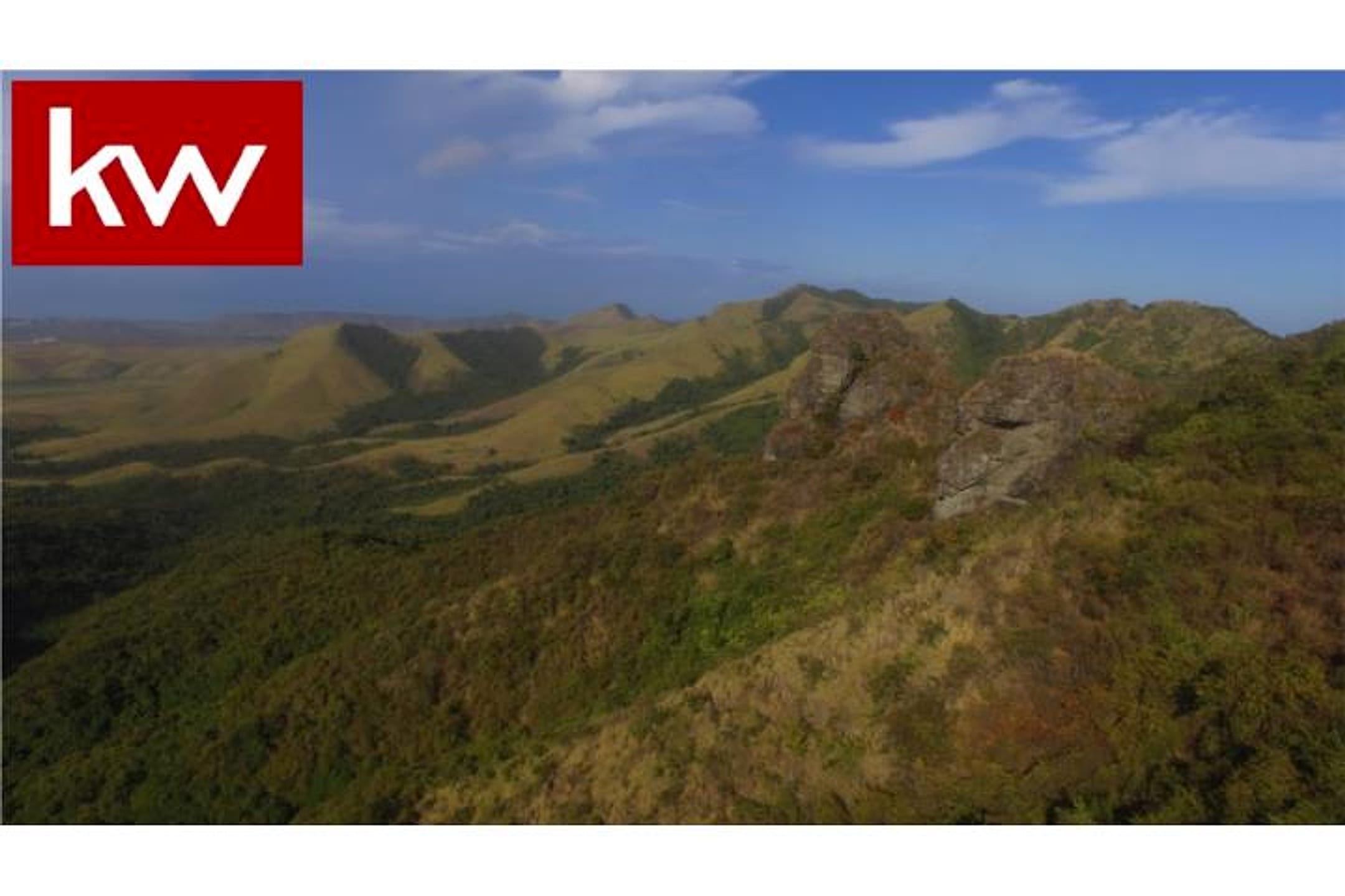
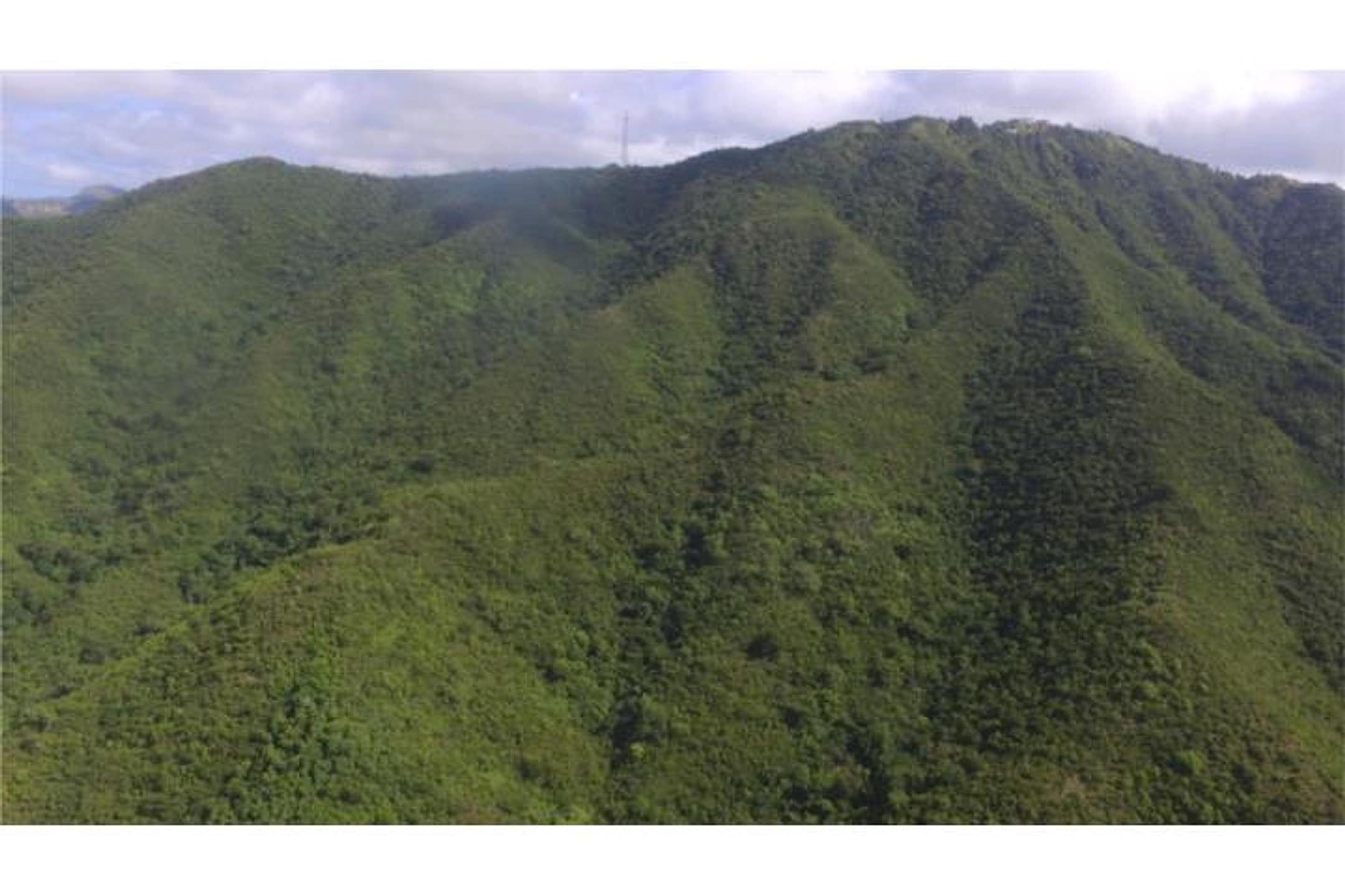
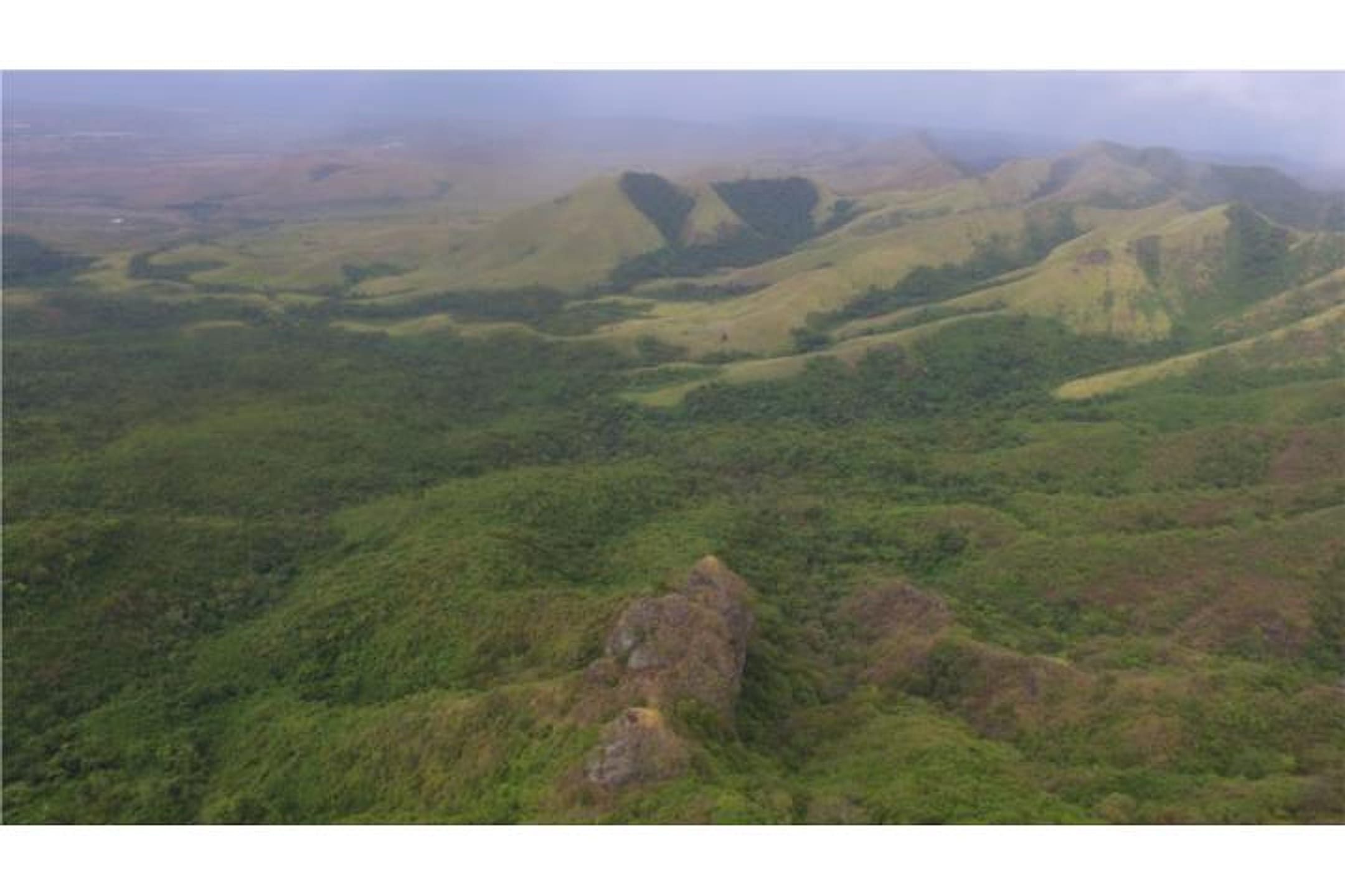
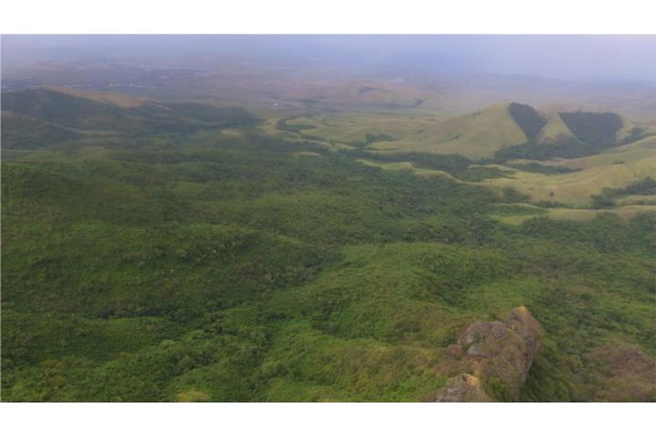
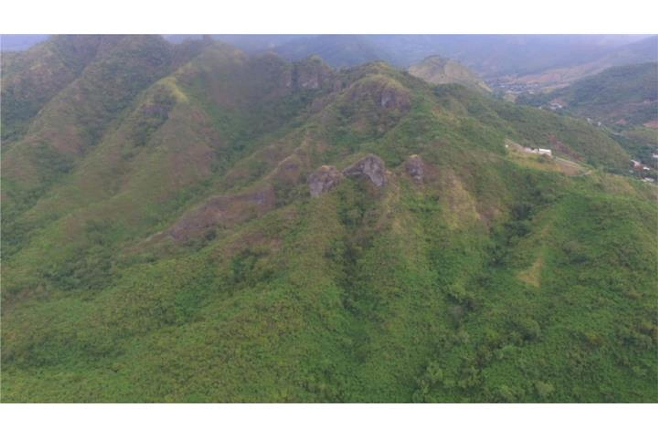
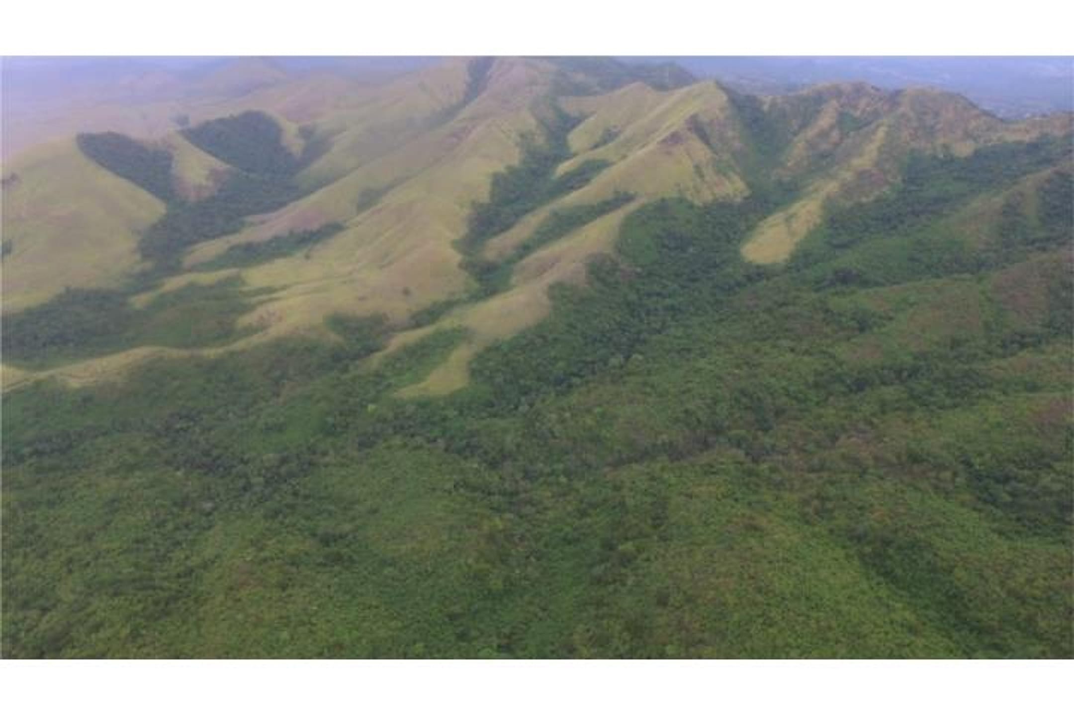
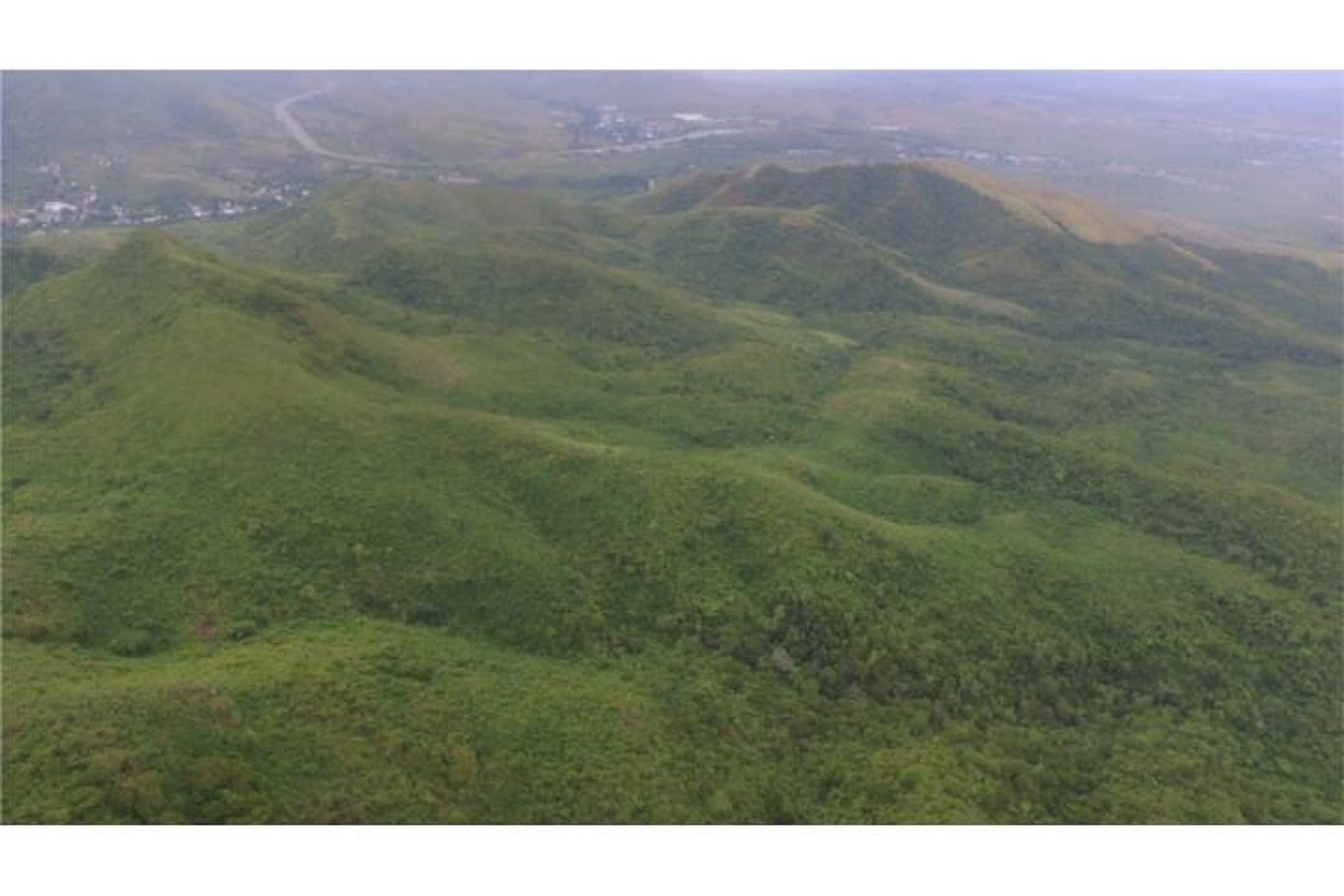
Approximately 200 cuerdas (194.24 acres) finca in Barrio Monte Grande, Route 717, Salinas (Hacienda de Salinas). Spectacular views bordering Campamento Santiago. Finca with irregular relief and multiple terrain planes. Direct views to the Caribbean Sea and dreamlike landscapes. Puerto Rico.
Finca de 200 cuerdas aproximadamente (Hacienda de Salinas) en Bo. Monte Grande, carr 717 Salinas. Vistas Espectaculares colindante con el Campamento Santiago. Finca de Relieve irregular con varios planos. Vistas directas al Mar Caribe y paisajes de ensueño. Puerto Rico
Location & driveMap, terrain & destinations
Location, terrain & flood
📍 Open in Google Maps — Hacienda Salinas, Salinas, Puerto Rico 👁 Street View 🛰 Satellite
⛰ 159 ft elevation 🌊 FEMA Zone X — minimal flood
Barrio-level pin (listings give barrio + municipio, not the exact lot) — verify the parcel location. Elevation: USGS. Flood zone: FEMA NFHL.
Drive times
| Miramar Bar | 75 min | 53.1 mi |
|---|---|---|
| Playa Lucía Disc Golf | 64 min | 45.1 mi |
| Albergue Olímpico Disc Golf | 32 min | 12.5 mi |
| SJU Airport | 87 min | 55.7 mi |
| Costco (Caguas) | 58 min | 36.3 mi |
Area notes
Barrio Monte Grande in Salinas is inland from the coastal flats, with higher elevation pockets that command Caribbean vistas. Salinas municipio sits south-central on the island; Humacao is roughly 30–45 minutes northeast by vehicle. The terrain transitions from lower coastal zones to hillier interior, making elevation pockets premium. Climate is warm year-round; southern coast is drier than the north. Flood risk varies by specific elevation and proximity to coastal lowlands—this property's multi-plane topography may offer natural drainage advantages.
CRIM & due diligenceParcel record & questions to verify
🏛️ CRIM property record
No parcel number is safely matched yet. The button opens the official map at the best listing location; confirm the parcel boundary before using its record.
🏛️ Open CRIM map near this property Paste an MLS address or CRIM number
A barrio or municipio pin is not precise enough to assign a CRIM record automatically.
Buildability
Large finca with irregular topography and multiple planes is developable for a single residence; however, access via PR-717, water/septic availability, and any agricultural zoning restrictions must be confirmed. Salinas is coastal-low but this barrio has elevation—verify flood zone and building codes for oceanview properties.
Questions to verify
- Obtain full flood zone and FEMA mapping for the 194 acres; verify elevation contours and whether any portion falls in high-risk coastal/wetland zones.
- Confirm legal access: validate easement or deed right to Route 717 and confirm no landlocked parcels.
- Zoning and agricultural status: clarify if property is restricted agricultural land (terreno agrícola) and whether single-family residential construction is permitted without variance.
- Survey and title: obtain current CRIM cadastral survey and title search; verify no liens, back taxes, or encroachments (particularly by Campamento Santiago border).
- Water and septic: confirm availability of potable water source and viability of septic system or municipal sewer; identify any water rights or shared infrastructure.
- Engineering and view validation: commission a site visit and preliminary topographic/buildability assessment to confirm the 'multiple planes' and direct ocean-view claims, and assess road grade/drainage.
Research & sourcesPhotos, web findings & original listing
Other things spotted in the photos
AI-read from the listing photos — unverified, eyeball against the actual photo before relying on it.
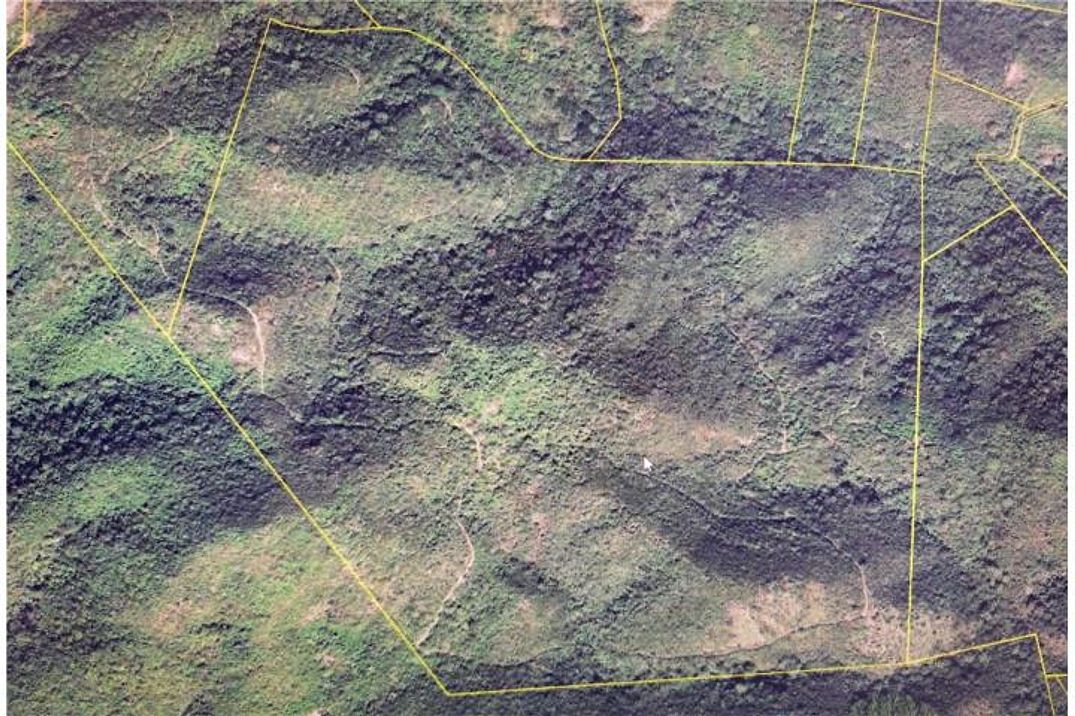
- Note:
Yellow property boundary lines visible— Photo 8 shows aerial/satellite imagery with thin yellow lines marking parcel boundaries
What the web found
Web sources confirm this is approximately 200 cuerdas (194+ acres) of irregular terrain in Barrio Monte Grande adjacent to Camp Santiago, with Caribbean Sea views. The property is listed on ElListingPR and FindItPR sites; comparable land sales in Salinas range from smaller buildable lots ($350k–$700k) to larger agricultural parcels ($940k+ for 197 acres).
Also found online:
- ElListingPR — Listed as ~200 acres Hacienda de Salinas in Monte Grande; describes irregular terrain with multiple elevation levels and views of Caribbean Sea and Camp Santiago
- FindItPR — Same property, 200 cuerdas (Hacienda de Salinas), mentions direct Caribbean views and irregular relief with several levels
Area intel: Salinas is a southern coastal municipality with 25,789 residents (2020). Comparable recent sales: 12-acre farm with house at $350k (2025); 5-acre land at $349,999 (2024); 3.67-acre waterfront lot at $700k. One oceanfront parcel noted flood zones AE and VE—recommend flood/hazard review for properties in certain Salinas sectors. The irregular terrain here (vs. flat coastal lots) may affect buildability and utilities.
What the sources contribute
Exact-property sources
- ClasificadosOnline primary listing · Aug 3, 2026 · 12 observations retained
$875,000 · 194.24 ac · 8 photos
Sources
Original listingGoogle itGoogle MapsStreet ViewSatellite viewRealtor.com compsPR flood map (FEMA)🏛️ CRIM map near listing (verify parcel)Clasificados ID 4862759 · added 2026-07-25