Finca in Aibonito, 37.5 Cuerdas, $149k
$175,000
36.42 ac
Your take
What do you like?
Scout suggestions are outlined. Your choices are filled.
Notes
No notes yet.
Scout suggestion
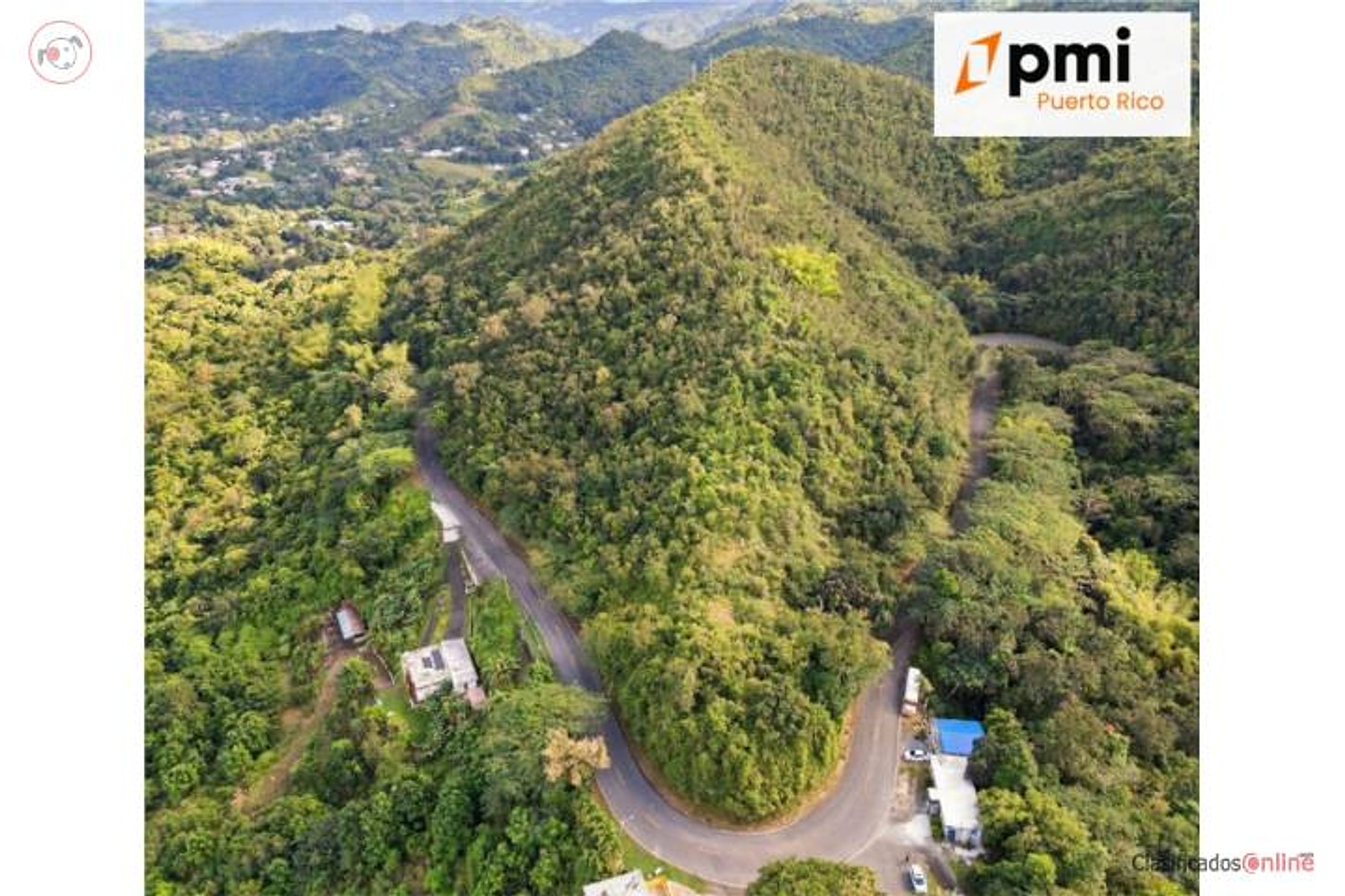
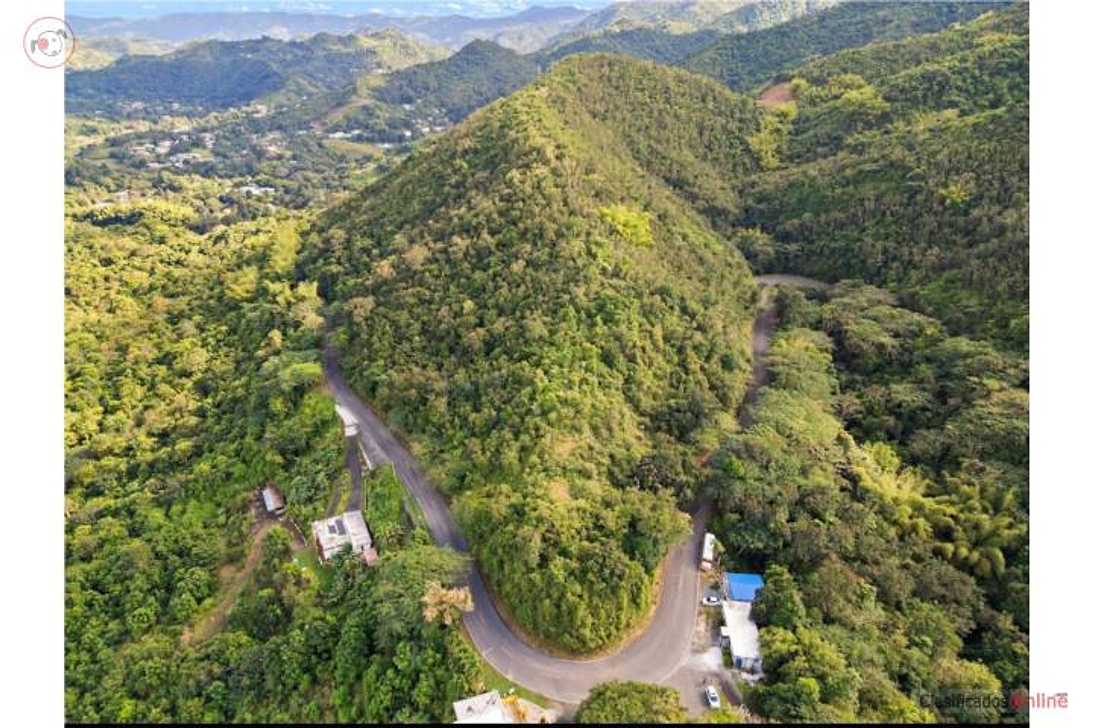
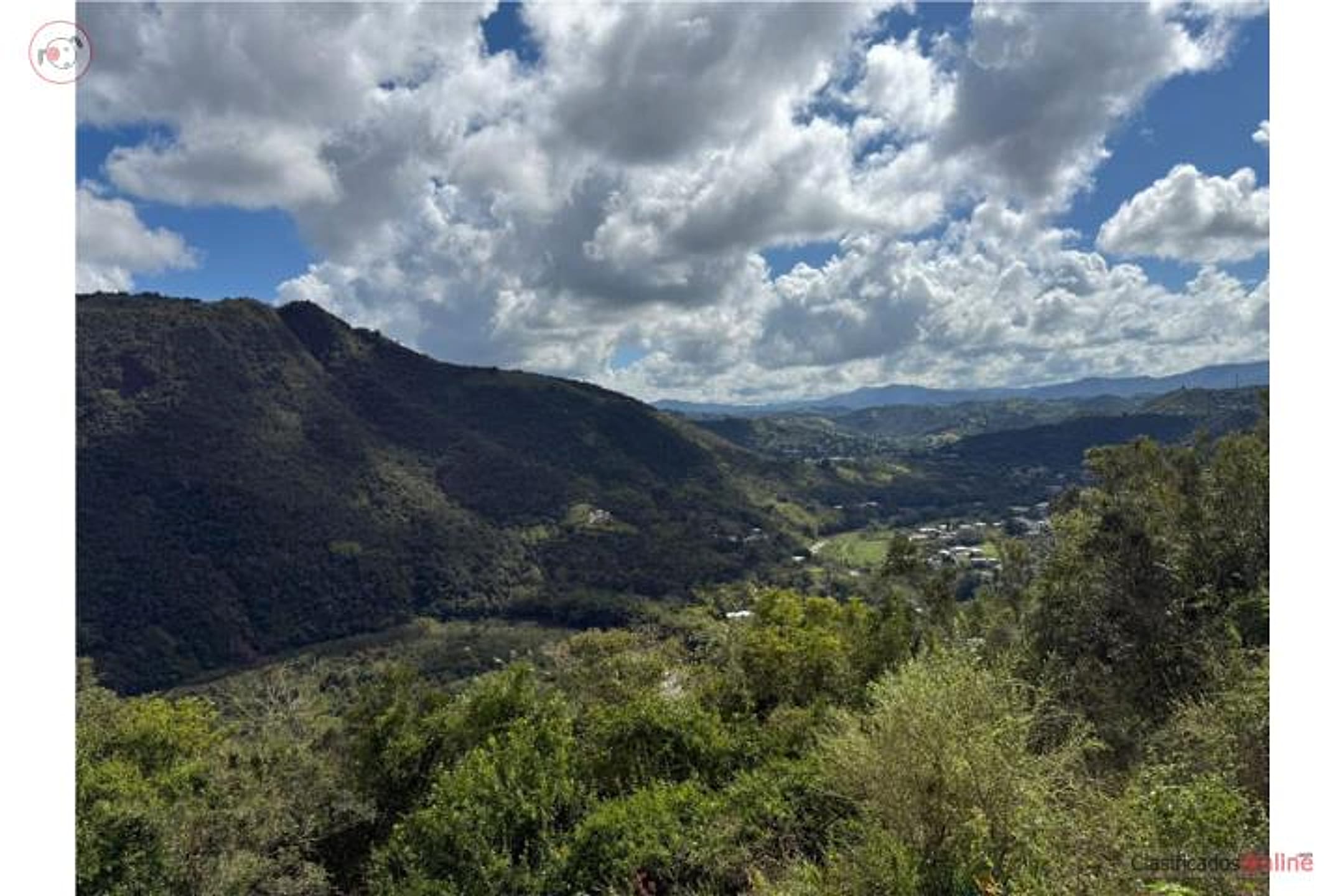
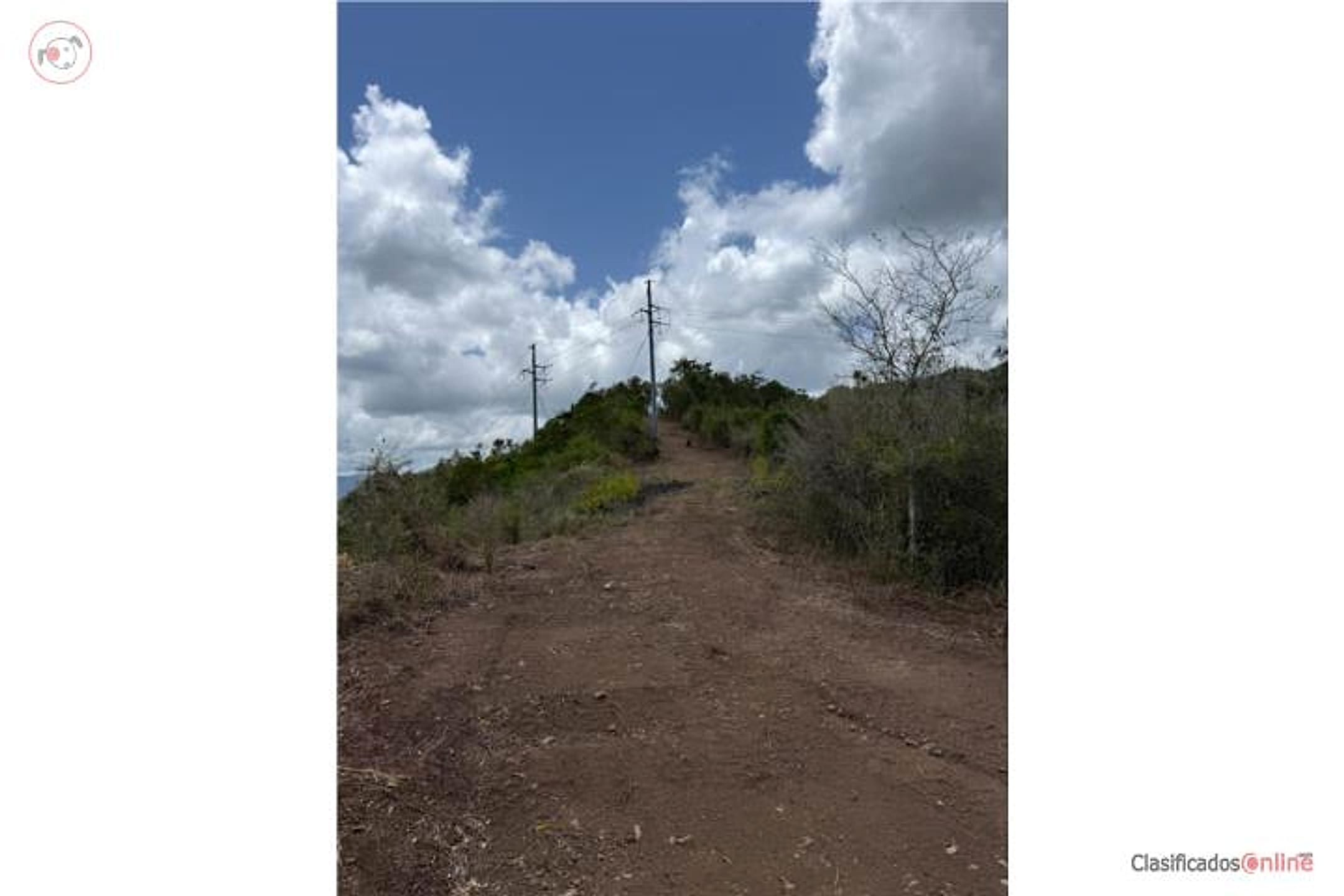
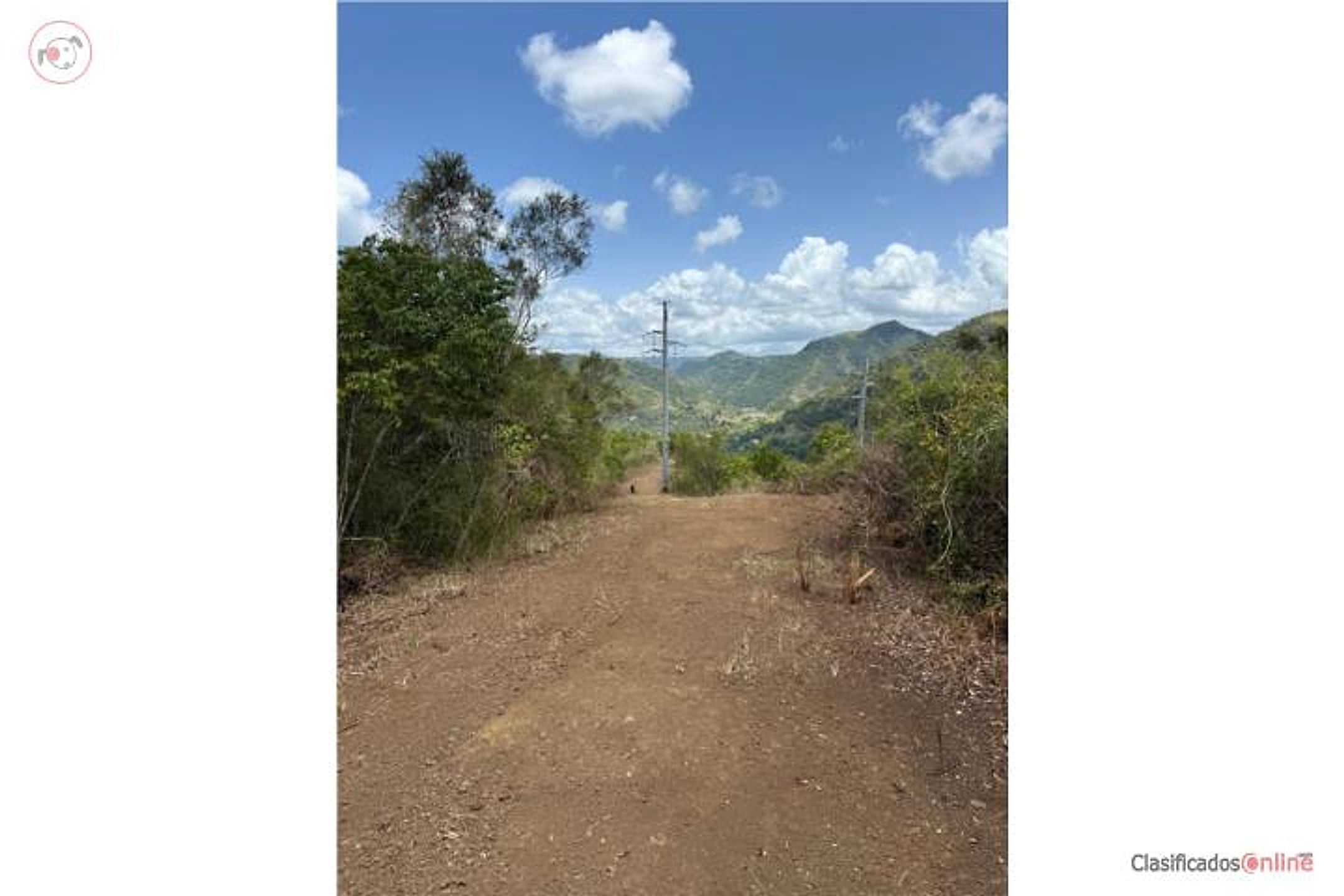
36.42-acre property with private, views and mountain setting.
- Land only — no move-in-ready home.
- The existing structure is not move-in ready.
Listing detailsPrice, facts & description
| Location | Robles, Aibonito |
|---|---|
| Asking price | $175,000 |
| Property | Land only |
| Land | 36.42 acres |
| Property type | Land |
| Photos | 11 reported by Clasificados · 11 available here |
Description from Clasificados
Source title: FINCA EN AIBONITO, 37.5 Cuerdas, 149k
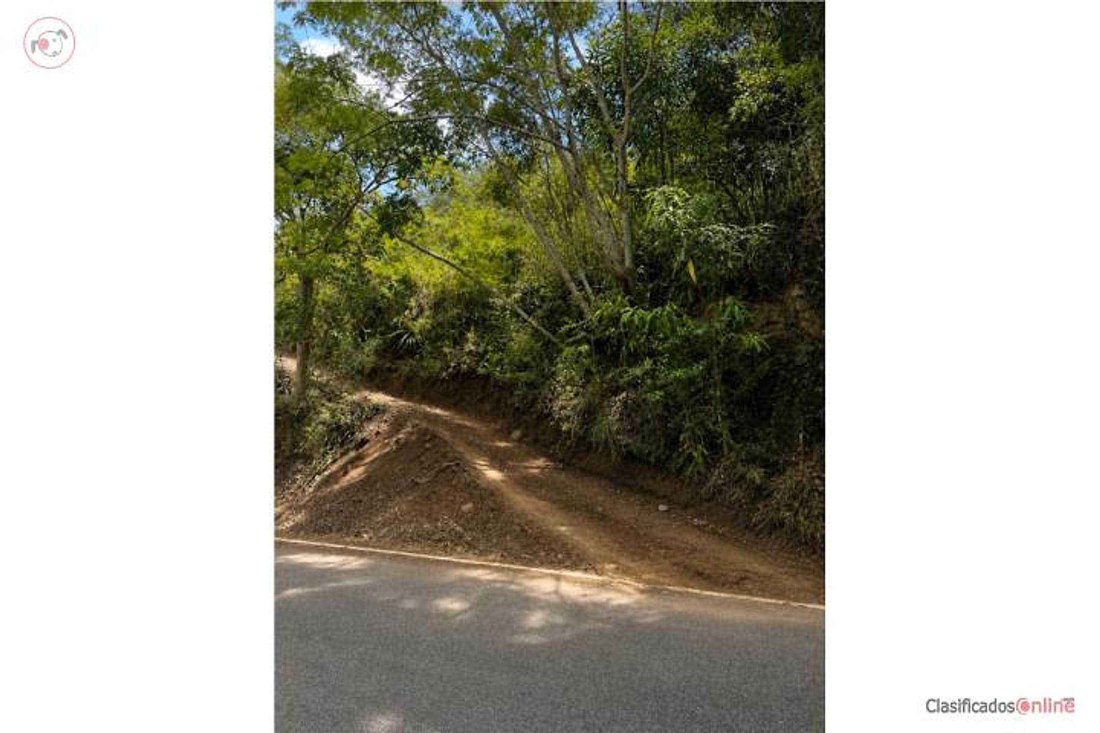
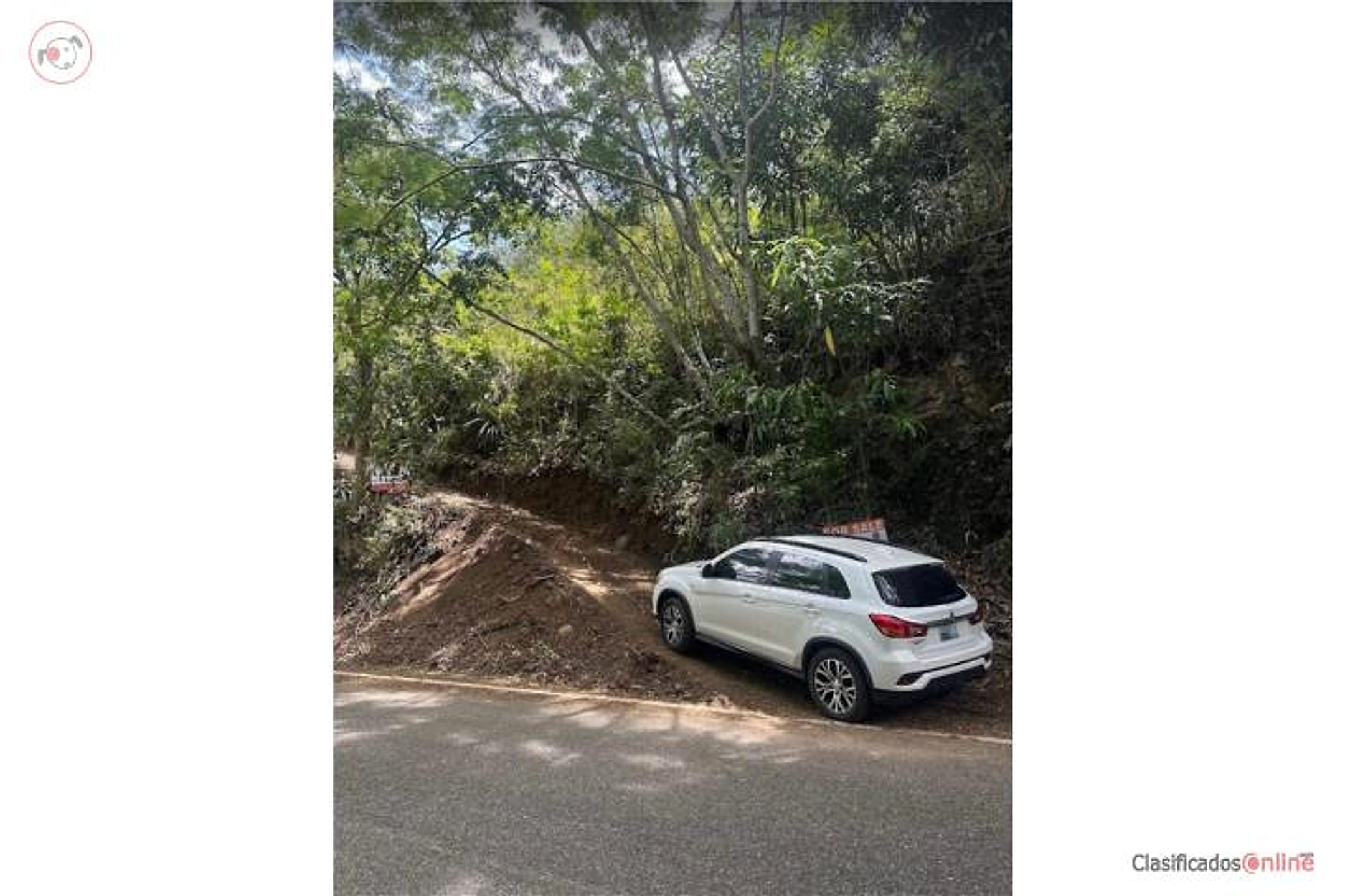
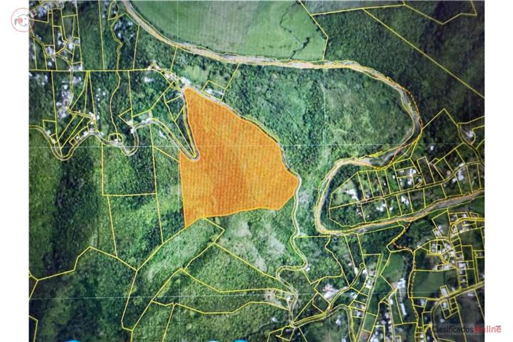
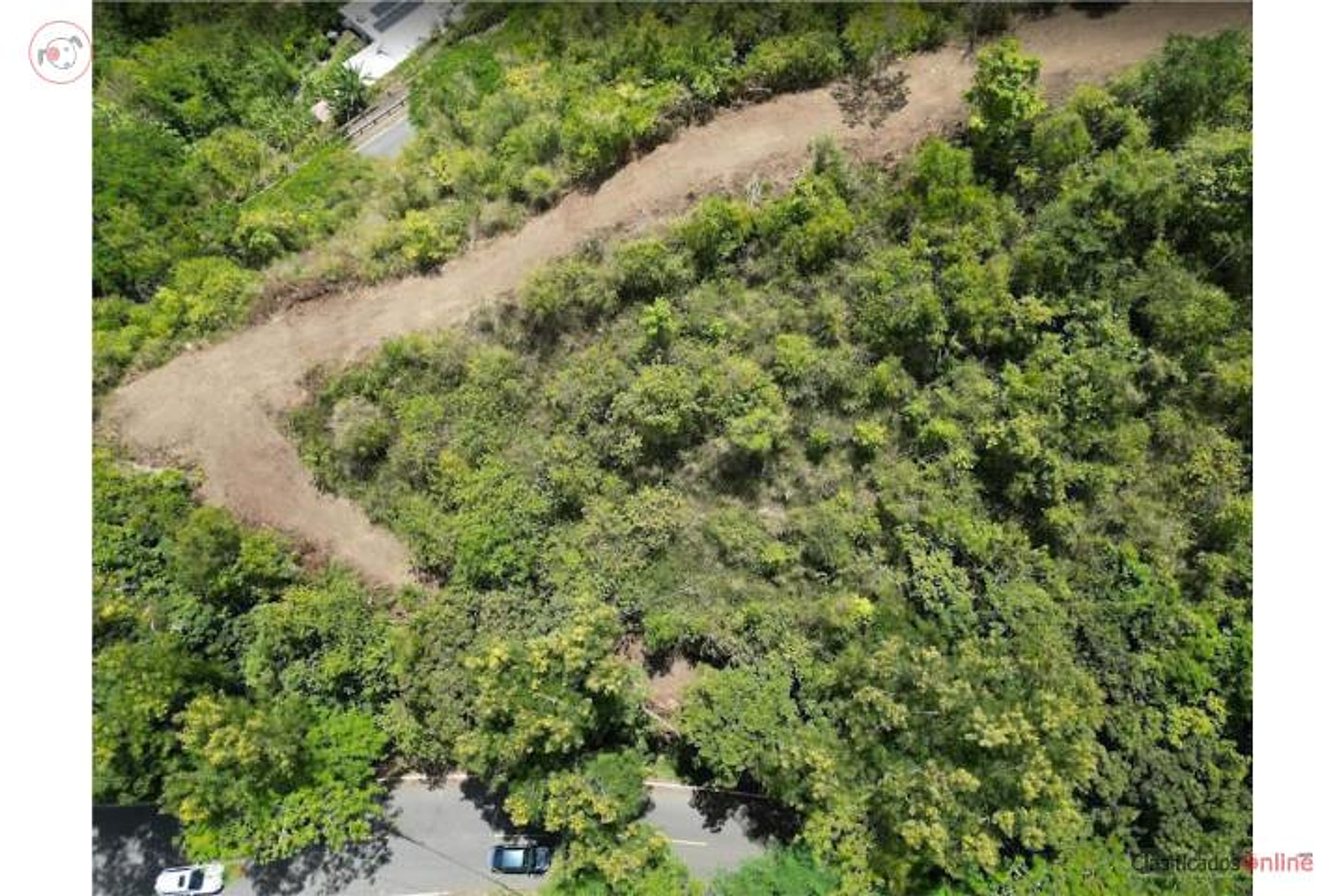
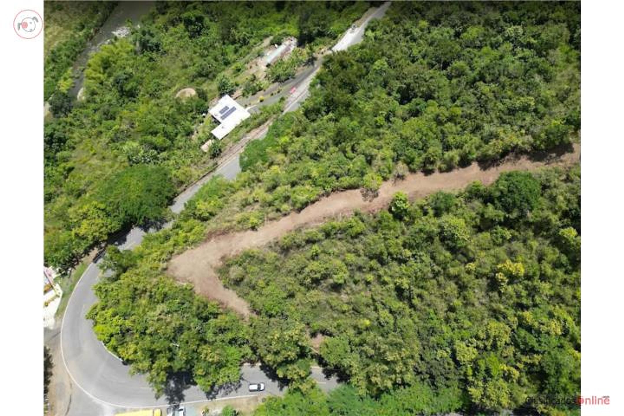
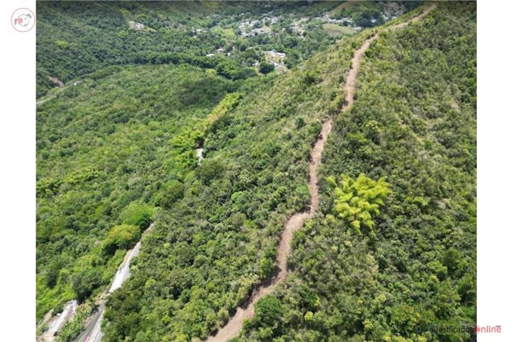
Beautiful 37.5-cuerda (36.42-acre) finca located on PR-14 in Aibonito. Features impressive panoramic views and private entrance, ideal for agricultural development, residential, or investment. Price: $175,000. Owner financing available: $25,000 down, 150 monthly payments of $1,000 at 6% interest. For more information contact Gerardo Espinet.
FINCA EN AIBONITO – CARR. 14 Hermosa finca de 37.5 cuerdas, ubicada en la Carr. 14 en Aibonito. Cuenta con vistas panorámicas impresionantes y entrada privada, ideal para desarrollo agrícola, residencial o inversión. 💰 Precio: $175,000 🏦 Financiación por el dueño Pronto: $25,000 Balance: 150 pagos mensuales de $1,000 Interés: 6% 📞 Para más información: Comuníquese con Gerardo Espinet. Puerto Rico
Location & driveMap, terrain & destinations
Location, terrain & flood
📍 Open in Google Maps — Robles, Aibonito, Puerto Rico 👁 Street View 🛰 Satellite
⛰ 2,031 ft elevation 🌊 FEMA Zone X — minimal flood
Barrio-level pin (listings give barrio + municipio, not the exact lot) — verify the parcel location. Elevation: USGS. Flood zone: FEMA NFHL.
Drive times
| Miramar Bar | 75 min | 46.4 mi |
|---|---|---|
| Playa Lucía Disc Golf | 78 min | 51.1 mi |
| Albergue Olímpico Disc Golf | 43 min | 15.5 mi |
| SJU Airport | 73 min | 46.1 mi |
| Costco (Caguas) | 44 min | 26.6 mi |
Area notes
Aibonito is Puerto Rico's highest municipality (mean elevation ~2,400 ft), situated in the interior Cordillera Central with cooler, misty climate and lush vegetation. The terrain is steeply rolling, well-drained, and naturally spectacular for views—especially toward the coast. It is roughly 20–25 road miles west of Humacao (40–50 min drive). The area experiences minimal hurricane and flood risk but frequent morning cloud cover; it is historically cattle-ranching and coffee-growing country. PR-14 is the main artery; rural parcels off it can be remote.
CRIM & due diligenceParcel record & questions to verify
🏛️ CRIM property record
No parcel number is safely matched yet. The button opens the official map at the best listing location; confirm the parcel boundary before using its record.
🏛️ Open CRIM map near this property Paste an MLS address or CRIM number
A barrio or municipio pin is not precise enough to assign a CRIM record automatically.
Buildability
Aibonito sits at ~2,400 ft elevation and is primarily agricultural; no flood risk typical for the interior highlands. However, listing does not confirm road easement quality, utility access to a 37-acre parcel, or any zoning variance needed for residential development on what may be classified agricultural land. Survey and municipal permitting verification essential.
Questions to verify
- Confirm road easement status and actual year-round access condition on PR-14 and to the parcel entrance; verify whether a maintenance agreement exists.
- Obtain a professional survey; establish exact property boundaries and confirm the 36.42-acre figure.
- Verify zoning classification (agricultural vs. residential) and confirm whether a residential building permit and/or subdivision variance will be required; consult Aibonito municipal planning office.
- Clarify utility availability: water source (well, municipal, or spring rights), electricity line proximity, septic suitability, and associated costs to develop the site.
- Request a Phase I environmental assessment and soil/drainage evaluation to rule out landslide, erosion, or soil stability concerns on steep terrain.
- Request any prior title searches, encumbrances, or tax lien history; confirm the seller's clear title and owner-financing terms in writing.
Research & sourcesPhotos, web findings & original listing
What the web found
The search did not locate this exact listing on Realtor.com, Zillow, Point2, or encuentra24. A similar large finca listing on ClasificadosPR mentions the property is in Carr 14 (La Ruta Panorámica) with panoramic mountain views. Aibonito area shows comparable land sales ranging $50k–$160k for 2–23 acres, but significant flooding and landslide risks dominate the region's hazard profile.
Also found online:
- ClasificadosPR.com — 37.5-cuerda property listed with panoramic mountain views on Carr 14 in La Ruta Panorámica
- Zillow — 2.91 acres at Road 725 Km #5.2 for $115k; 1.75 acres at Carr 725 for $93k—comparable land parcels in Aibonito
- FinditPR.com — Multiple land parcels ranging $50k–$160k; largest 16,302 m² (4 acres) in Sierra barrio for $160k
Area intel: Annual severe flooding from the Río Aibonito is a major recurring hazard affecting access to medical facilities. Aibonito is a mountainous town at ~2,401 ft elevation in the Cayey range with steep slopes and multiple rivers (Río de Aibonito, Río Cuyón, Río de la Plata). Hurricane Maria (2017) triggered >70,000 landslides across Puerto Rico; Hurricane Fiona (2022) brought 25+ inches of rain to the region causing flash floods and mudslides. Earthquakes are frequent but minor (magnitude 2.15 recorded March 2024); however, seismic activity contributes to landslide risks in steep areas. Land prices for comparable parcels in Aibonito range $50k–$160k for 1–23 acres. Average single-family home sales ~$130,977.
What the sources contribute
Exact-property sources
- ClasificadosOnline primary listing · Aug 3, 2026 · 11 observations retained
$175,000 · 36.42 ac · 11 photos
Sources
Original listingGoogle itGoogle MapsStreet ViewSatellite viewRealtor.com compsPR flood map (FEMA)🏛️ CRIM map near listing (verify parcel)Clasificados ID 4830144 · added 2026-07-25