5.467-Cuerdas Land Lot in Aibonito
elevationprivate
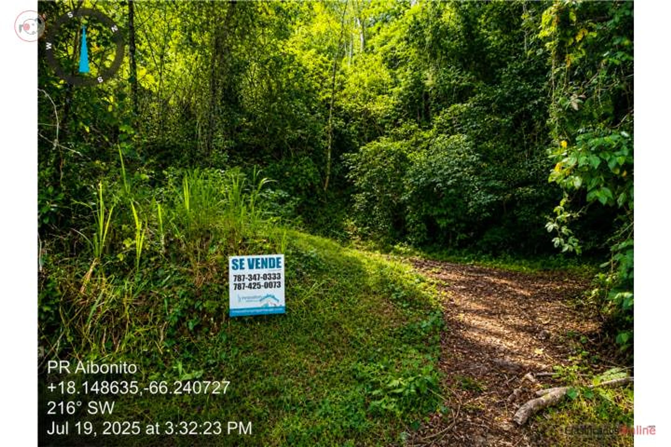
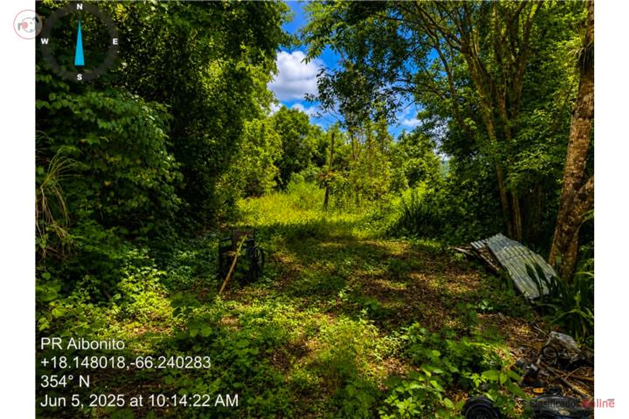
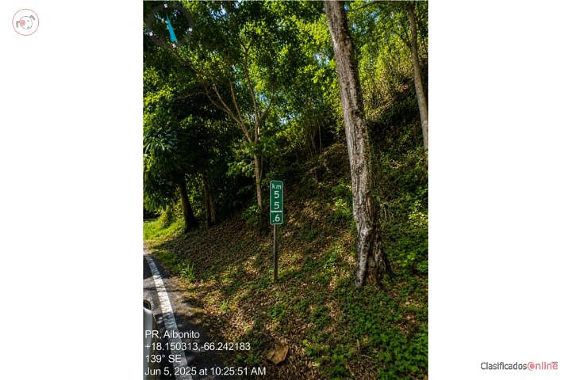
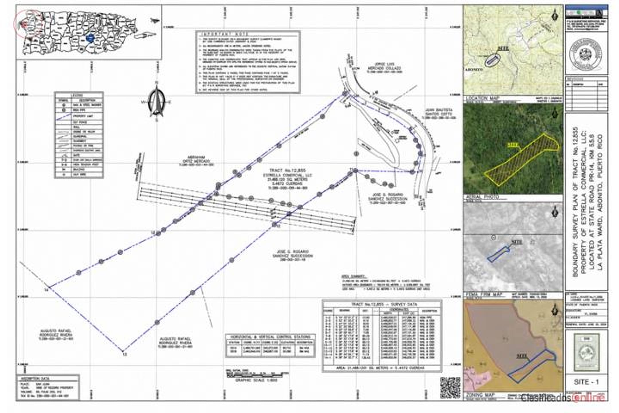
Description from Clasificados
Land for sale: 5.467 cuerdas (5.31 acres) located in Aibonito, Puerto Rico, with RG (General Residential) zoning. This property offers an excellent opportunity for residential, agricultural, or eco-tourism development, thanks to its size and privileged location in one of the island's coolest and most tranquil zones. RG zoning permits single-family homes, multifamily structures, and other compatible uses. Ideal for investors or developers seeking to expand in Puerto Rico's central area. For more information or to arrange a visit, contact Jossei Rivera at 787-473-6880. Coordinates: 18.1492, -66.2433.
Original Spanish
Se vende terreno de 5.467 cuerdas ubicado en Aibonito, Puerto Rico, con zonificación RG (Residencial General). Esta propiedad ofrece una excelente oportunidad para desarrollo residencial, agrícola o proyectos eco-turísticos, gracias a su amplitud y ubicación privilegiada en una de las zonas más frescas y tranquilas de la isla. La zonificación RG permite la construcción de viviendas unifamiliares, multifamiliares y otros usos compatibles. Ideal para inversionistas o desarrolladores que buscan expandirse en el área central de Puerto Rico. Para más información o para coordinar una visita, comuníquese con Jossei Rivera 787-473-6880 Coordenadas: 18.1492, -66.2433 Puerto Rico
Why it's interesting
Land-track match: 5.31 acres well under budget ($4,068/acre vs. $11k cap), RG zoning permits residential build, and Aibonito's elevation (≈2,000 ft) and cool climate align strongly with 'elevation' and 'majestic views' loves. No structures or showstopper flags visible, but listing lacks detail on actual vistas, topography, or rainforest proximity—critical unknowns for a 'dream home' site.
| Location | Cuyon, Aibonito (tier 1 — preferred catchment) |
|---|---|
| Price | $43,200 |
| Size | 5.31 acres (5.467 cuerdas) |
| Land $/acre | $4,068/acre (after $21,600 home credit) |
| Fit score | 78/100 |
| Existing home | yes — not move-in habitable |
Location, terrain & flood
📍 Open in Google Maps — Cuyon, Aibonito, Puerto Rico 🛰 Satellite
⛰ 1,984 ft elevation 🌊 FEMA Zone X — minimal flood
Barrio-level pin (listings give barrio + municipio, not the exact lot) — verify the parcel location. Elevation: USGS. Flood zone: FEMA NFHL.
Drive times
| Miramar Bar | 77 min | 45.5 mi |
|---|---|---|
| Playa Lucía Disc Golf | 76 min | 50 mi |
| Albergue Olímpico Disc Golf | 38 min | 12.5 mi |
| SJU Airport | 75 min | 45.3 mi |
| Costco (Caguas) | 46 min | 25.8 mi |
Area & terrain notes
Aibonito is Puerto Rico's highest municipio, with elevations reaching 2,500+ feet and a notably cooler, fresher climate than coastal areas—making it a popular retreat for residents seeking escape from heat and humidity. The municipio is situated in the island's interior (Cordillera Central) roughly 40–50 min east of Humacao by road, with lush vegetation and frequent mist/cloud cover typical of mountain terrain. The area is far from the Atlantic coast and El Yunque, reducing hurricane-surge and oceanside flood risk, though mountain terrain brings localized drainage and landslide considerations. Character: quiet, rural, agricultural heritage, with growing appeal to retirees and families prioritizing peace and cooler weather.
Buildability
RG zoning explicitly permits single-family residential construction. No flood, access, or utility red flags stated; however, topography, road access, and water/septic availability must be confirmed on-site.
Due diligence — verify before buying
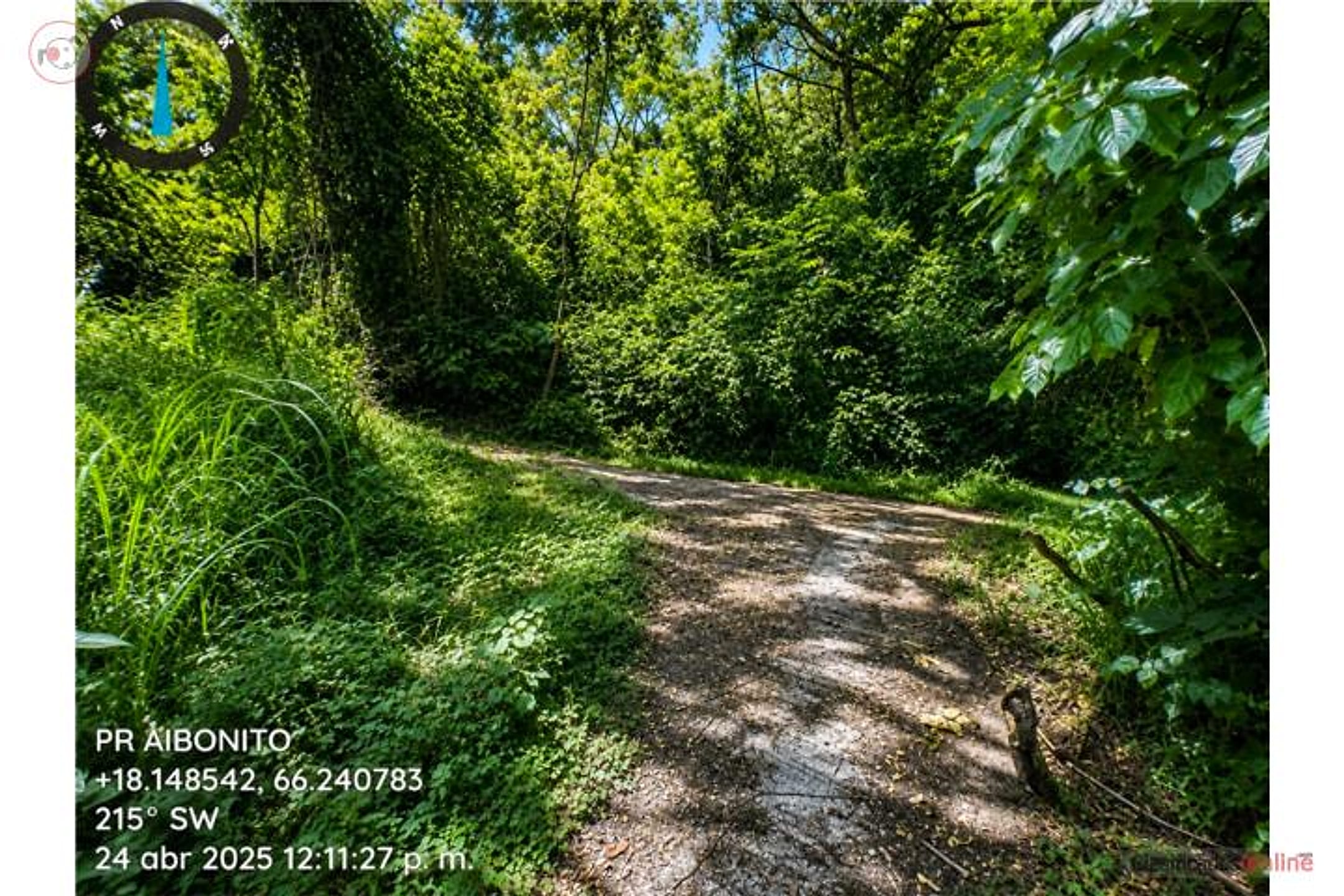
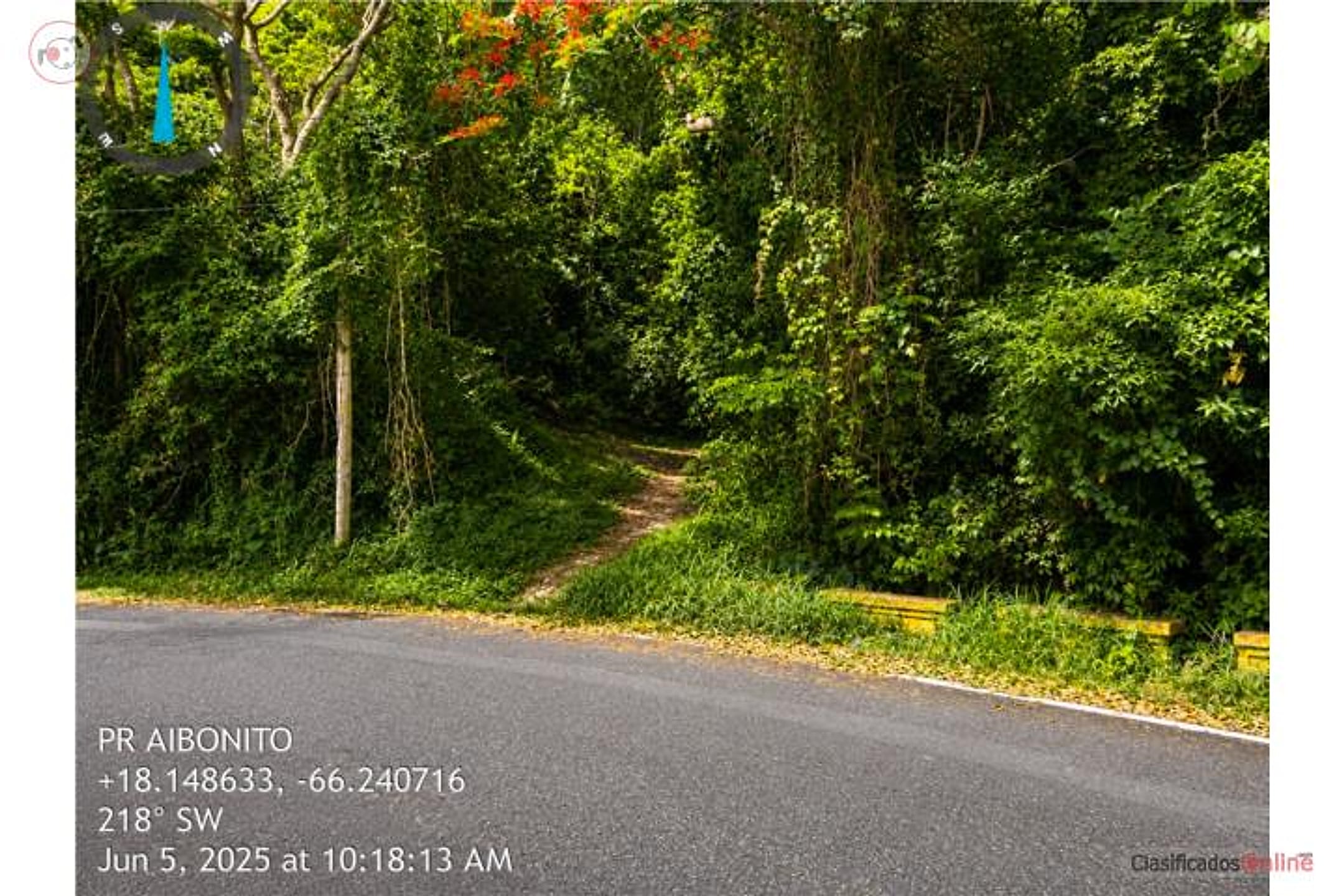
- Physical site visit: confirm actual topography, slope stability, and whether vistas (mountain, valley, or distant views) exist—listing provides coordinates but no elevation detail or photos.
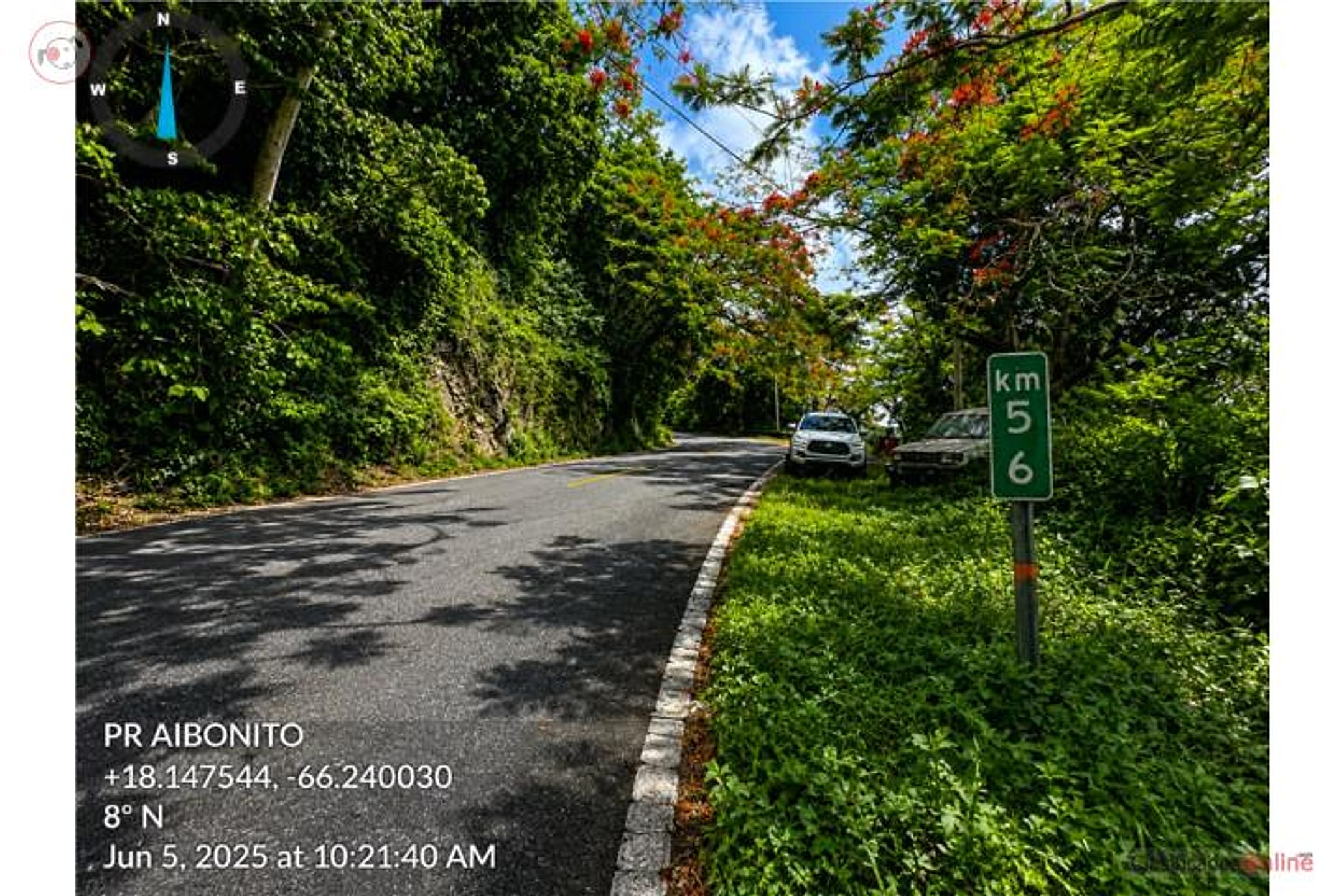
- Road access & utilities: verify driveway/easement access from public road, and availability of water and septic/electrical service to the property.
- Survey & title search: obtain recent survey to confirm exact 5.31-acre footprint, boundary disputes, and any liens or easements.
- Flood/landslide zone: confirm FEMA flood zone (unlikely at elevation, but verify) and USGS landslide-susceptibility map for the Cordillera Central terrain.
- Zoning & permitting: confirm RG designation allows their specific intended use (single-family residential is standard, but verify no height/setback restrictions or development fees).
- Broker due diligence: contact Jossei Rivera (787-473-6880) for detailed site maps, aerial imagery, and any infrastructure/access issues already known.
What the web found
The specific ClasificadosOnline listing (ID 4898032) does not appear on major platforms (Zillow, Realtor.com, Point2, etc.). Aibonito is a cooler mountain municipality known for agriculture; comparable buildable land in the area ranges $50k–$120k for 1–3 acres.
Area intel: Comparable land sales in Aibonito: 1.75–2.91 acres priced $93k–$115k. Aibonito sits at 732 m elevation with cool mountain climate (winter lows ~5°C). Known as 'La Ciudad de las Flores' and agricultural center. Historical flood event December 2009 documented; however, high elevation mitigates coastal flood risk.
Dig deeper
Original listingGoogle itGoogle MapsSatellite viewRealtor.com compsPR flood map (FEMA)Listing ID 4898032 · scored 2026-07-24 · AI-read