Bo. Pasto, Highway 717 Km 1.7
elevationprivate
Description from Clasificados
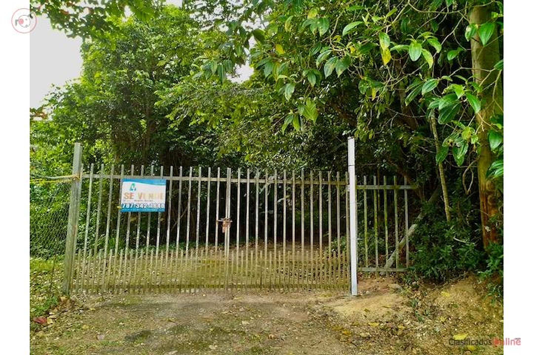
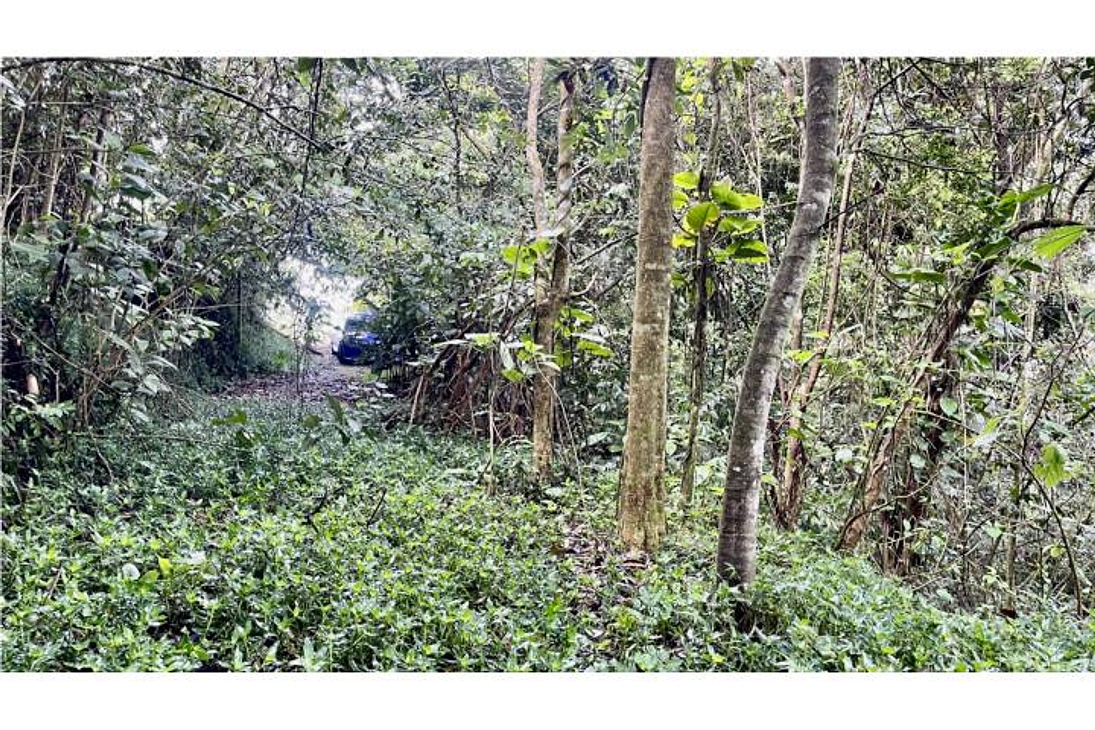
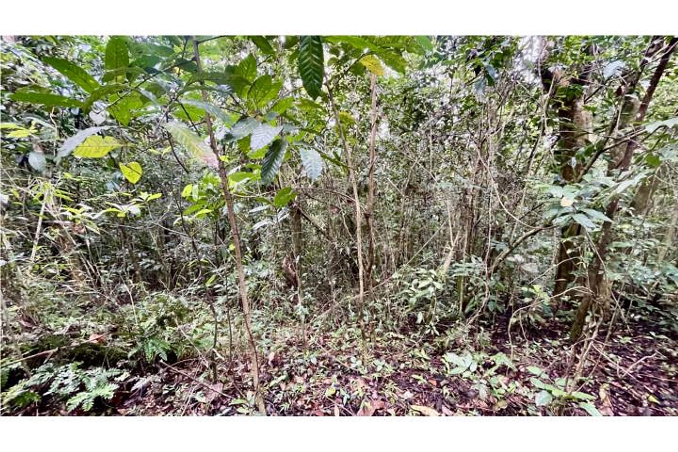
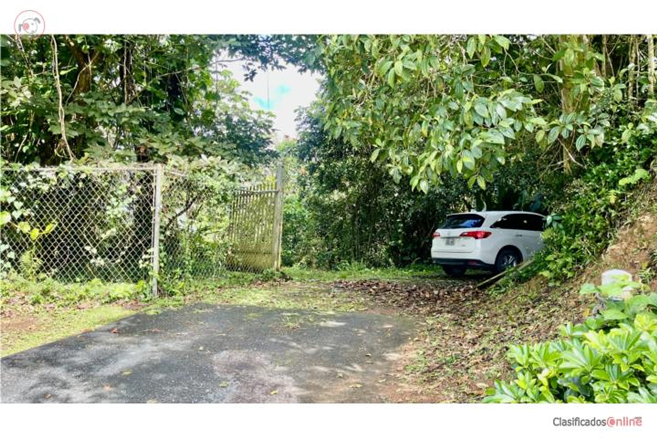
Are you looking for land to develop, invest, or escape the noise of the city? This farm is for you. With 10,612.36 cuerdas (41,710.7136 m²) of semi-flat terrain, this property offers the perfect space to create your dream project in one of Puerto Rico's coolest and most peaceful towns. Zoning: A-G (General Agriculture); PT Classification: SREP-A (Especially Protected Rural Soil – Agricultural); PUT Classification: SREP-A (Especially Protected Rural Soil – Agricultural). Features: Semi-flat topography, ideal for agricultural development or rural residential project. Natural setting, cool climate, and excellent location. Important: No LUMA (electricity) or AAA (water) service — an excellent option for self-sustaining or eco-friendly projects. Coordinates: 18.122740, -66.284164.
Original Spanish
¿Buscas terreno para desarrollar, invertir o escapar del ruido de la ciudad? Esta finca es para ti. Con 10.612.36 cuerdas (41,710.7136 m/c) de terreno semi llano, esta propiedad ofrece el espacio perfecto para crear tu proyecto soñado en uno de los pueblos más frescos y tranquilos de Puerto Rico. Calificación: A-G (Agrícola General); Clasificación PT: SREP-A (Suelo Rústico Especialmente Protegido – Agrícola); Clasificación PUT: SREP-A (Suelo Rústico Especialmente Protegido – Agrícola). Características: Topografía semi llana, ideal para desarrollo agrícola o proyecto residencial campestre. Entorno natural, clima fresco y excelente ubicación. Importante: No cuenta con servicios de LUMA ni AAA lo que la convierte en una excelente opción para proyectos autosustentables o eco-friendly.” Coordenadas: 18.122740,-66.284164.?? Para citas, información y mejor orientación:Comunicarse con Realtor® Noemí Alicea al 787-342-1648. Fair Housing & Equal Opportunity. https://www.alicearealtypr.com https://www.realtor.com/realestateagents/5f459d6dbe7cf8001198c56a Puerto Rico
Why it's interesting
Excellent land-track fit: 10.31 acres well under budget at $6,547/acre in cool, quiet Aibonito with semi-flat topography ideal for their dream home. Strong elevation and privacy loves; no home present, so only viable as a build property, and agricultural zoning + lack of utilities require careful due diligence.
| Location | Pasto, Aibonito (tier 1 — preferred catchment) |
|---|---|
| Price | $135,000 |
| Size | 10.31 acres (10.612.36 cuerdas) |
| Land $/acre | $6,547/acre (after $67,500 home credit) |
| Fit score | 72/100 |
| Existing home | yes — not move-in habitable |
Location, terrain & flood
📍 Open in Google Maps — Carretera 717 Km 1.7, Bo. Pasto, Aibonito, PR 🛰 Satellite
⛰ 2,016 ft elevation 🌊 FEMA Zone X — minimal flood
Exact coordinates from web research. Elevation: USGS. Flood zone: FEMA NFHL.
Drive times
| Miramar Bar | 78 min | 48.1 mi |
|---|---|---|
| Playa Lucía Disc Golf | 73 min | 48.7 mi |
| Albergue Olímpico Disc Golf | 35 min | 11.2 mi |
| SJU Airport | 76 min | 47.8 mi |
| Costco (Caguas) | 48 min | 28.3 mi |
Area & terrain notes
Aibonito is one of Puerto Rico's highest municipalities (∼2,000 ft elevation), known for cool, misty mountain climate, lush terrain, and agricultural heritage (coffee, plantains). Located in the central mountain interior, roughly 45–60 min drive west of Humacao; the area is rural, quiet, and distant from coastal tourist zones. Semi-flat pockets exist within the broader hills. No significant flood risk typical of lowlands; rainforest canopy varies by specific slope and elevation. Character is genuinely rural and undeveloped.
Buildability
Semi-flat topography and size support residential construction. However, property is classified as SREP-A (Protected Agricultural Soil) and lacks municipal water (AAA) and power (LUMA) — they must verify zoning variance for single-family residential, obtain water rights or plan well/cistern, and negotiate utility extensions or plan off-grid infrastructure.
Due diligence — verify before buying
- Confirm zoning variance or permit feasibility: SREP-A agricultural classification may require a conditional-use permit or reclassification for single-family residential; contact Aibonito municipal planning office.
- Verify water access: no AAA service listed; clarify if a reliable well exists, if rainwater collection is viable, or if extension/contract with AAA is negotiable; test water quality if available.
- Confirm electrical infrastructure: no LUMA service; quote cost and timeline for grid extension, or plan stand-alone solar + battery system.
- Obtain a current survey and topographic map: confirm the '10.31 acres' and identify any easements, neighbors' right-of-way, or terrain constraints for road/foundation.
- Road access and maintenance: verify deed access to Highway 717; clarify if a private drive exists and who maintains it.
- Environmental/flood zone: request FEMA flood map and confirm no wetland, protected forest, or environmental restriction on the parcel; some SREP land has conservation overlay.
What the web found
The property is located in Pasto, a barrio in mountainous Aibonito municipality at high elevation (~2,041 ft). Web searches confirm comparable land sales in Aibonito at $50,000–$160,000 for parcels ranging 0.21–2.9 acres, suggesting the $135,000/10.31-acre asking price ($13,100/acre) is competitive. Area faces high summer storm risk and significant annual rainfall due to elevation and trade winds.
Also found online:
- Zillow — Lists multiple Carretera 717 and Road 725 parcels in Aibonito; comparable land $93,000–$115,000 for 1.75–2.91 acres
- Point2Homes — Shows Carretera 717 Km 4.2 (log cabin on 25 acres, $695,000)
- Corcoran & Bella Traere Realty — Land listings in Aibonito: $50,000–$117,500 for 0.21–2.09 acres
- Findit PR — Aibonito land and homes; recent sales $50,000–$250,000
Seller / agent: Not found—original ClasificadosOnline listing (ID 4888235) not accessible via web search
Area intel: Aibonito is a high-elevation mountain municipality (main square 2,401 ft, area avg. 1,690 ft). Recent home sales averaged $73,000; recent comparable land parcels sold at $50,000–$160,000 (0.21–2.9 acres). Terrain: tropical rainforest, cooler than coastal PR. Hazards: high summer storm frequency producing 'strong winds, floods, waterspouts, sometimes hail and tornadoes'; substantial annual rainfall from trade winds. Winter lows in 40s°F. Price trend shows modest market activity; $135,000 for 10.31 acres (~$13,100/acre) is mid-range for Aibonito buildable land.
Dig deeper
Original listingGoogle itGoogle MapsSatellite viewRealtor.com compsPR flood map (FEMA)Listing ID 4888235 · scored 2026-07-24 · AI-read