BO. MONTE GRANDE, FINCA EN SALINAS
elevationprivaterainforest
Description from Clasificados
(translation unavailable)
Original Spanish
Finca de 200 cuerdas aproximadamente (Hacienda de Salinas) en Bo. Monte Grande, carr 717 Salinas. Vistas Espectaculares colindante con el Campamento Santiago. Finca de Relieve irregular con varios planos. Vistas directas al Mar Caribe y paisajes de ensueño. Puerto Rico
Why it's interesting
This is raw, steep mountain land with no home, no clear ocean visibility despite marketing claims, and no immediate move-in option. The couple needs either buildable land meeting 'land economics' or a 3+ bedroom ready-to-move home; this finca is neither proven. At 194 acres and $875k, it's ~2.5× comparable recent sales (12-acre farm at $350k, 5-acre at $349,999), raising valuation concerns. Terrain irregularity, lack of visible utilities/road, and no water features visible in photos add development risk.
🔄 Refreshed with measured elevation/flood, the cadastre record, and the listing photos on 2026-07-25.
💵 Asking $875,000 for 194 acres (~$4,511/acre) vs. recent 12-acre farm sale at $350,000 (~$29,167/acre for improved land). Price-per-acre suggests a speculative or raw-land premium; verify last recorded sale and actual transaction comps for similar steep, undeveloped parcels in Salinas.
What the photos show
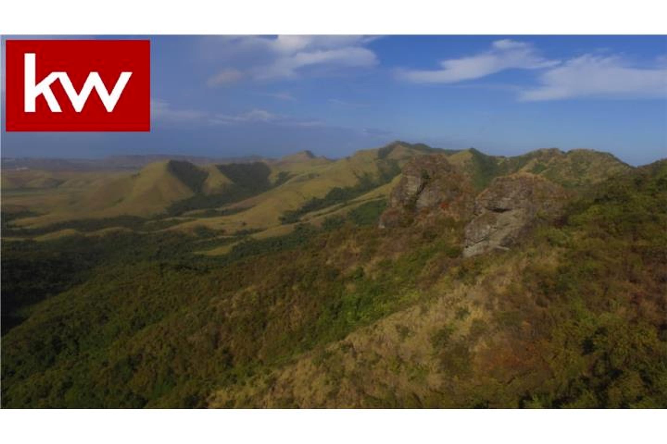
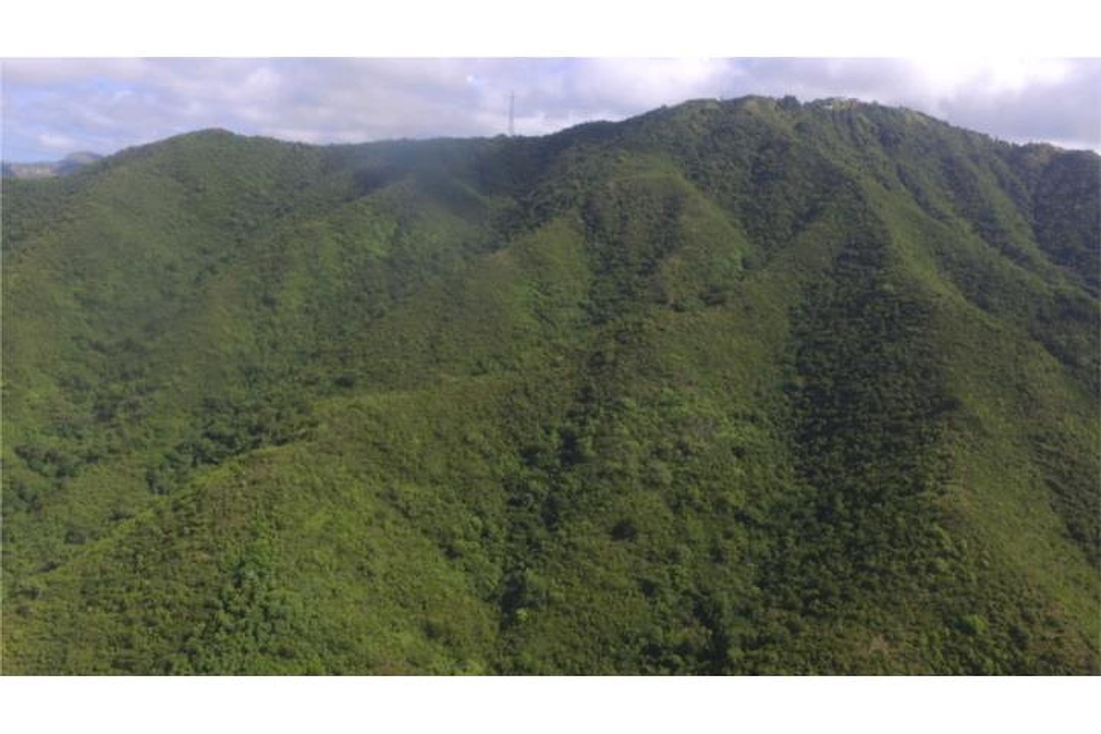
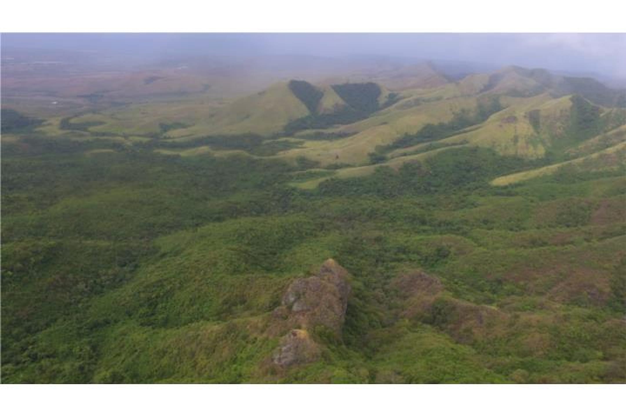
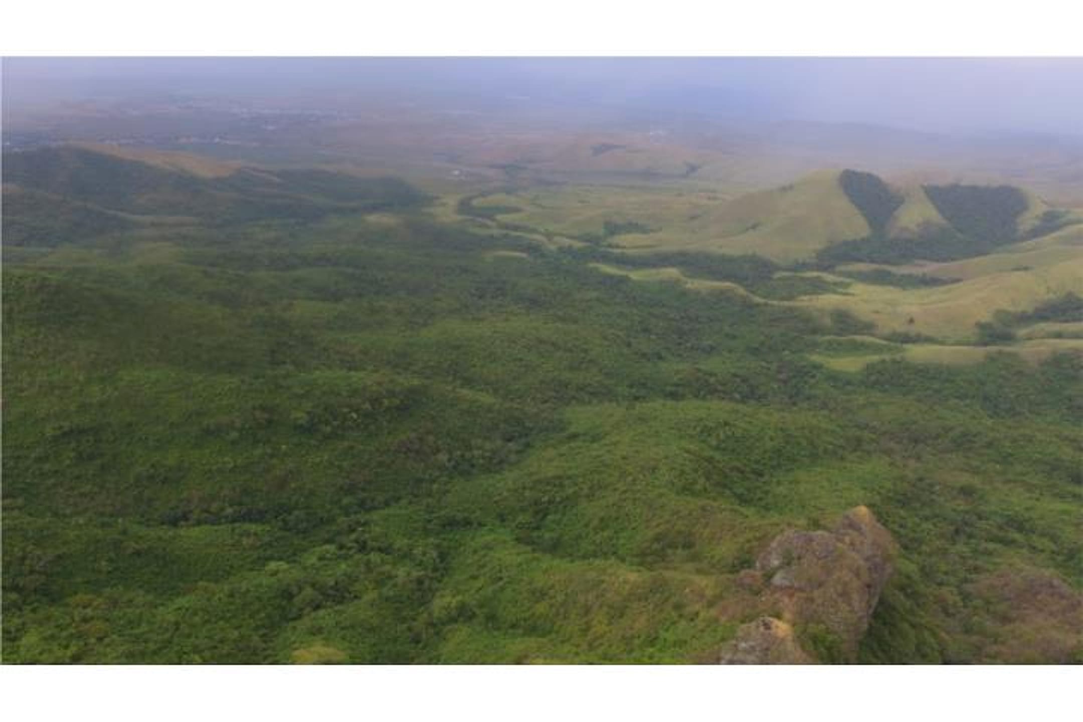
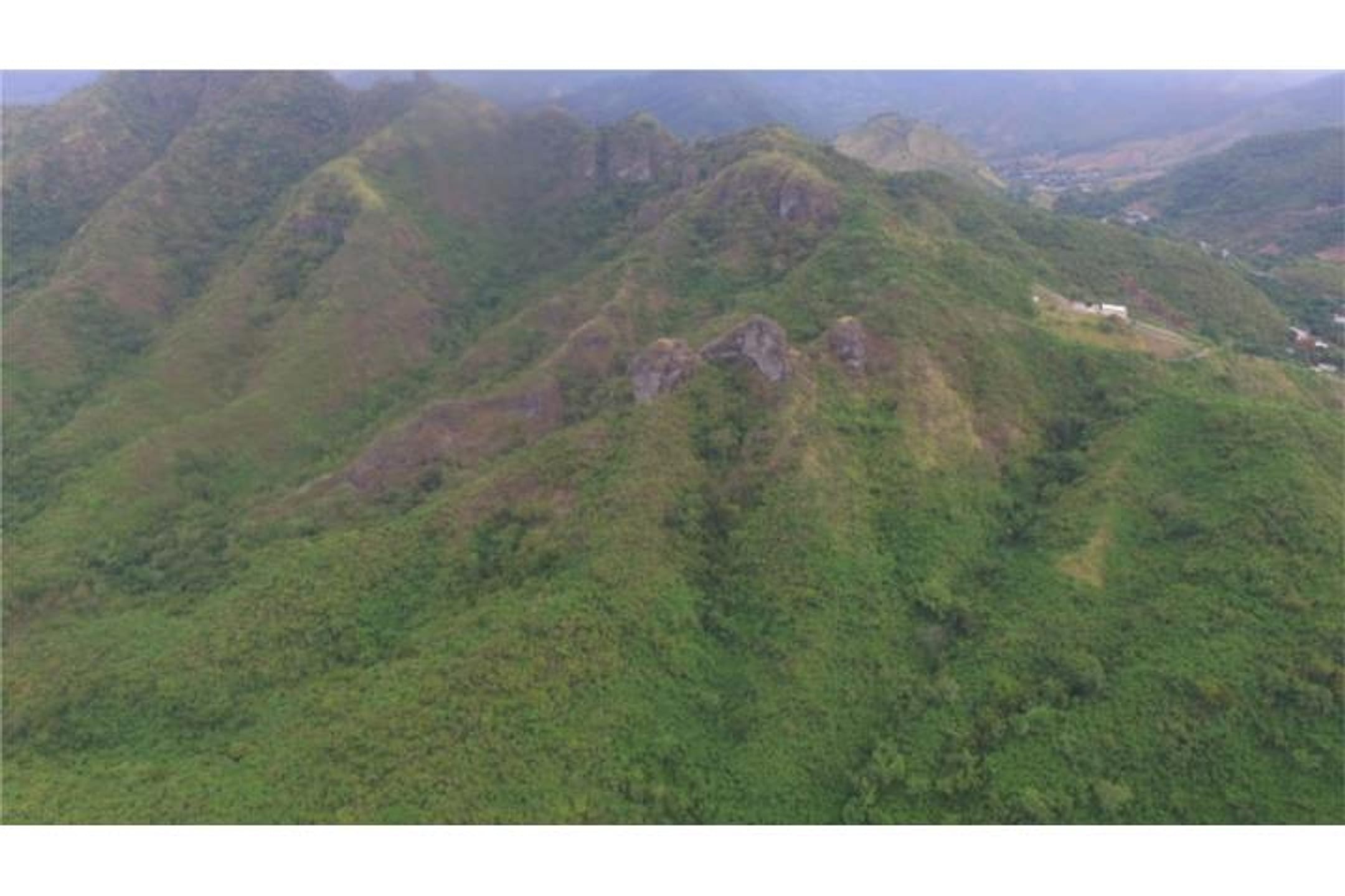
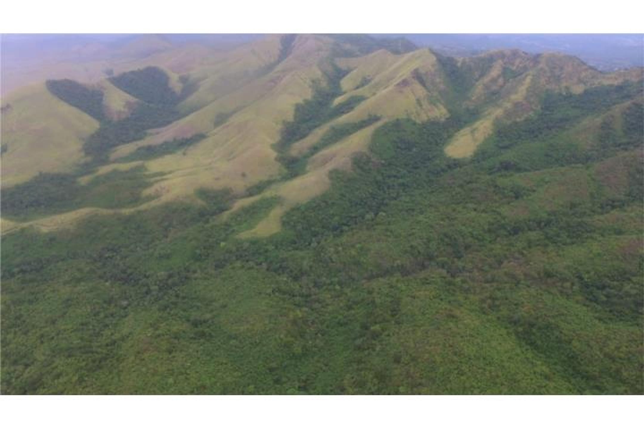
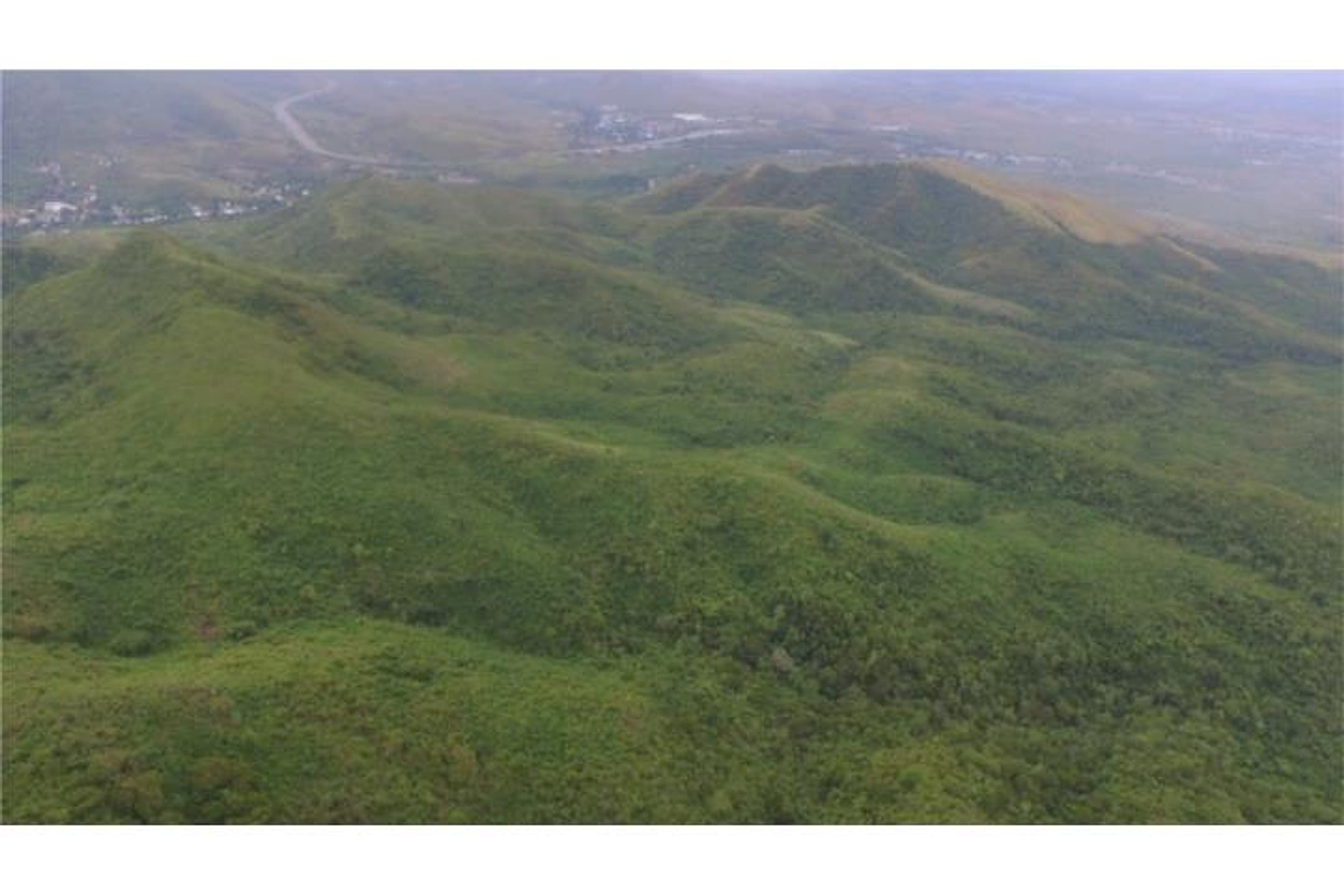
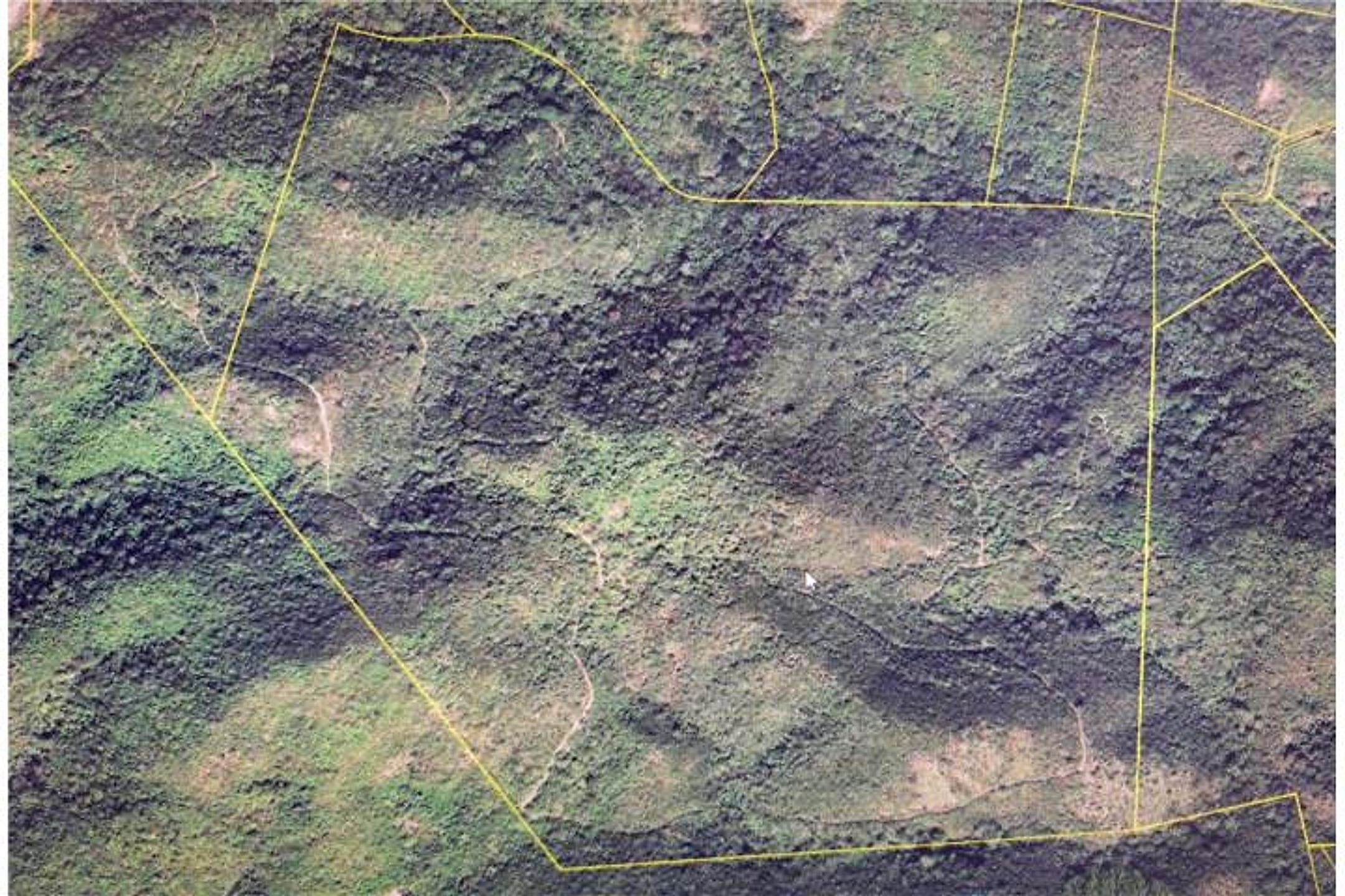
Photos 1–7 show a large, steeply sloped rural property with dramatic irregular terrain, dense green vegetation covering most slopes, and scattered exposed rocky outcrops. Multiple aerial views confirm significant elevation changes and valley formations; the landscape is predominantly vegetated (rainforest/tropical growth visible), with no structures or buildings apparent in any photo. Photo 8 is a cadastral/map overlay showing property boundaries and land-use parcels. No river, stream, or oceanfront water body is visible in the ground-level or aerial shots, despite the listing's claim of 'direct views to the Caribbean.' The property appears remote and undeveloped, with dense vegetation suggesting privacy but raising questions about access, utilities, and actual buildability given the slope and terrain irregularity.
Read from the listing photos by vision AI — verify against the images yourself.
| Location | Hacienda Salinas, Salinas (tier 1 — preferred catchment) |
|---|---|
| Price | $875,000 |
| Size | 194.24 acres (200 cuerdas) |
| Land $/acre | $4,505/acre |
| Fit score | 38/100 |
| Existing home | no |
Other things spotted in the photos
AI-read from the listing photos — unverified, eyeball against the actual photo before relying on it.
- Note:
Yellow property boundary lines visible— Photo 8 shows aerial/satellite imagery with thin yellow lines marking parcel boundaries
Location, terrain & flood
📍 Open in Google Maps — Hacienda Salinas, Salinas, Puerto Rico 🛰 Satellite
⛰ 159 ft elevation 🌊 FEMA Zone X — minimal flood
Barrio-level pin (listings give barrio + municipio, not the exact lot) — verify the parcel location. Elevation: USGS. Flood zone: FEMA NFHL.
Drive times
| Miramar Bar | 75 min | 53.1 mi |
|---|---|---|
| Playa Lucía Disc Golf | 64 min | 45.1 mi |
| Albergue Olímpico Disc Golf | 32 min | 12.5 mi |
| SJU Airport | 87 min | 55.7 mi |
| Costco (Caguas) | 58 min | 36.3 mi |
Due diligence — verify before buying
- Confirm last recorded sale price and date for this specific cadastral parcel; reconcile listing's 200 cuerdas claim vs. cadastre's 194.24 acres.
- Site visit to verify ocean visibility claim; photos do not show Caribbean views despite listing emphasis.
- Obtain survey, utility availability (water, electric, sewer) and access-road status; steep terrain and lack of visible infrastructure suggest major development costs.
- Title search and lien verification; confirm no encumbrances (e.g., easements to adjoining 'Campamento Santiago').
- Flood/hurricane hazard review: while FEMA zone X is low-risk, Salinas sectors have AE/VE zones; aerial photos show dense forest that may mask drainage or past flood paths.
- If considering as buildable land, obtain professional slope/geotechnical assessment and municipal buildability letter for irregular terrain.
What the web found
Web sources confirm this is approximately 200 cuerdas (194+ acres) of irregular terrain in Barrio Monte Grande adjacent to Camp Santiago, with Caribbean Sea views. The property is listed on ElListingPR and FindItPR sites; comparable land sales in Salinas range from smaller buildable lots ($350k–$700k) to larger agricultural parcels ($940k+ for 197 acres).
Also found online:
- ElListingPR — Listed as ~200 acres Hacienda de Salinas in Monte Grande; describes irregular terrain with multiple elevation levels and views of Caribbean Sea and Camp Santiago
- FindItPR — Same property, 200 cuerdas (Hacienda de Salinas), mentions direct Caribbean views and irregular relief with several levels
Area intel: Salinas is a southern coastal municipality with 25,789 residents (2020). Comparable recent sales: 12-acre farm with house at $350k (2025); 5-acre land at $349,999 (2024); 3.67-acre waterfront lot at $700k. One oceanfront parcel noted flood zones AE and VE—recommend flood/hazard review for properties in certain Salinas sectors. The irregular terrain here (vs. flat coastal lots) may affect buildability and utilities.
Dig deeper
Original listingGoogle itGoogle MapsSatellite viewRealtor.com compsPR flood map (FEMA)Listing ID 4862759 · scored 2026-07-25 · keyword score, needs review