Farm (Finca) in Aibonito, 37.5 Cuerdas
elevationmajestic viewsprivate
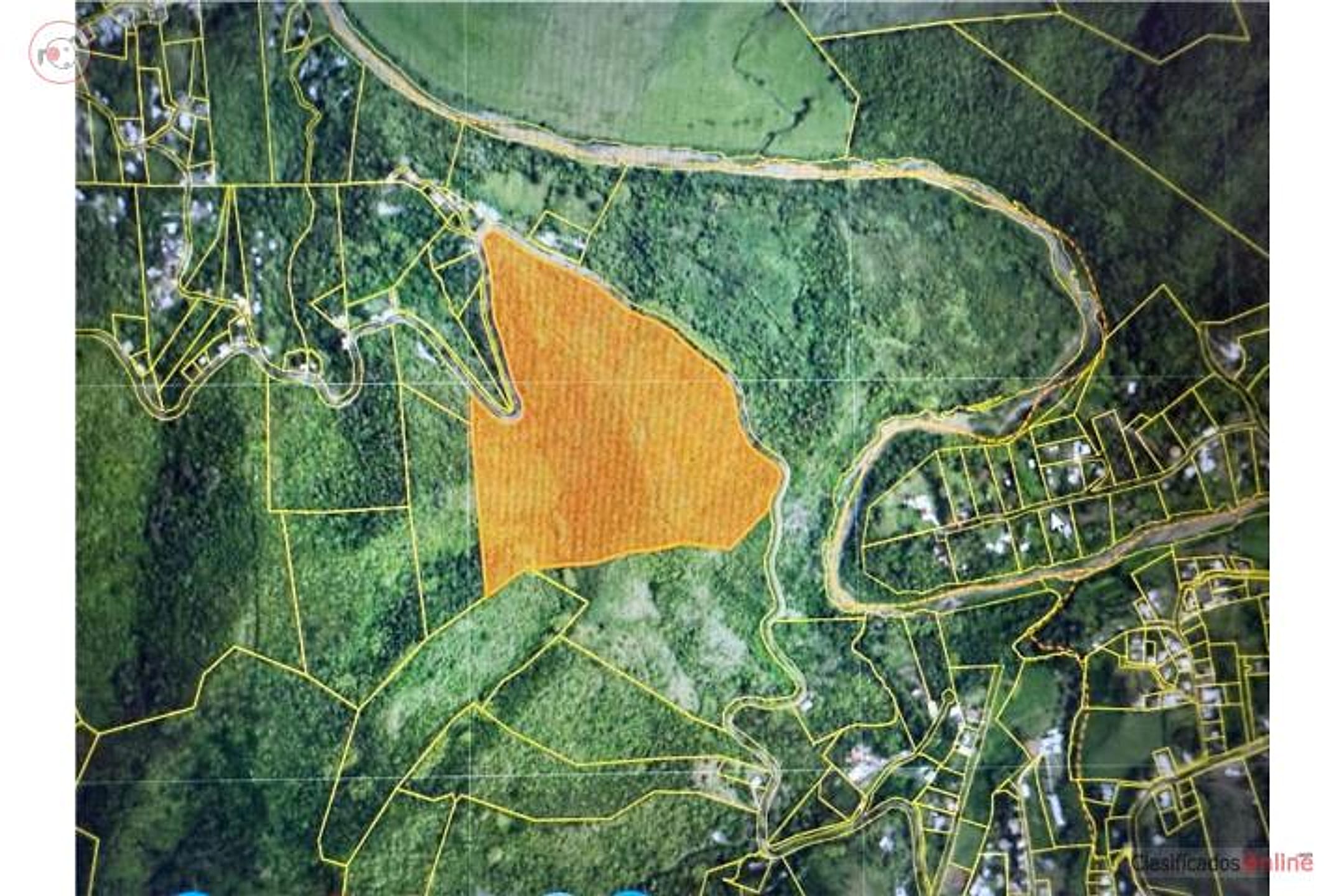
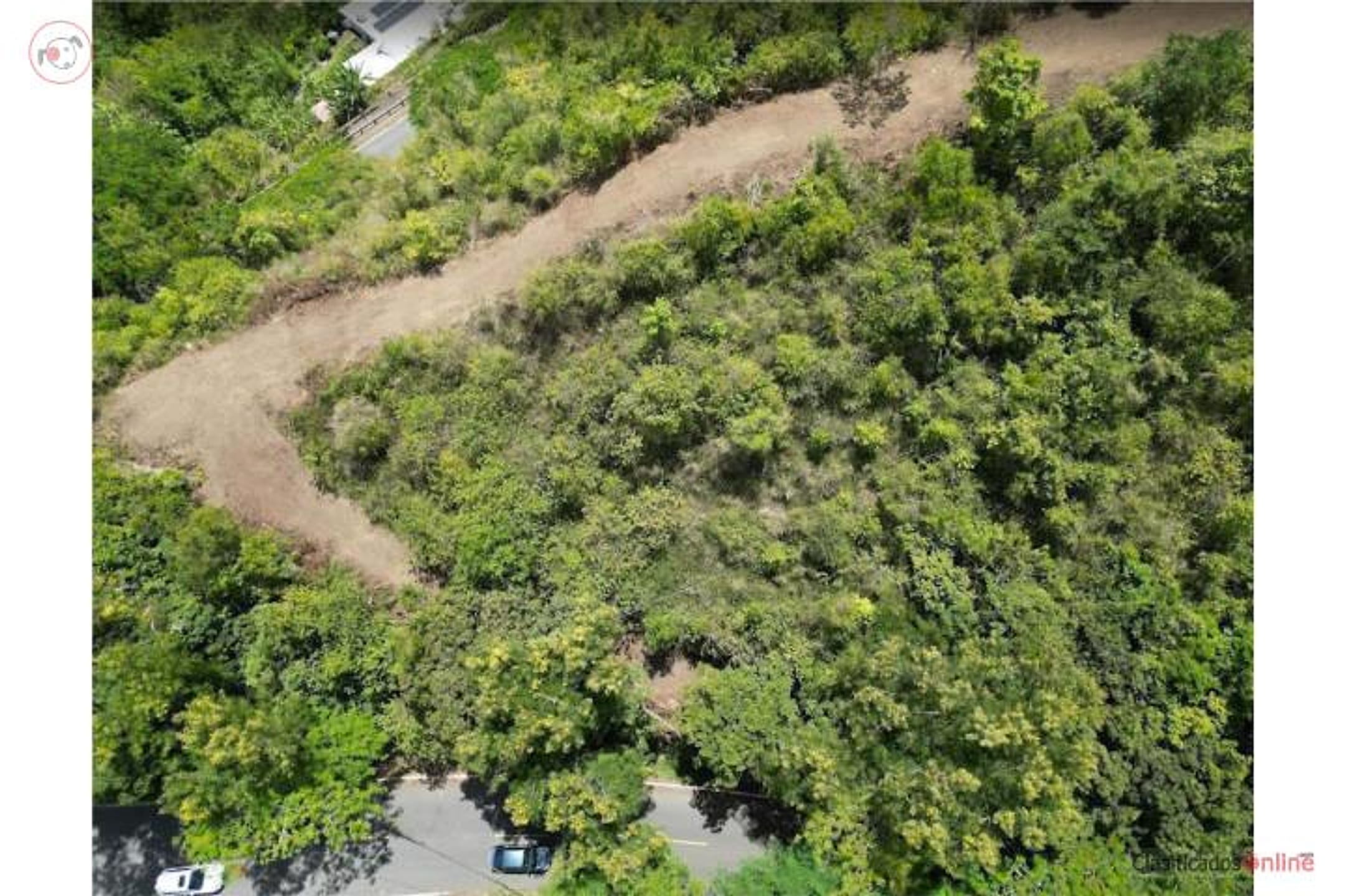
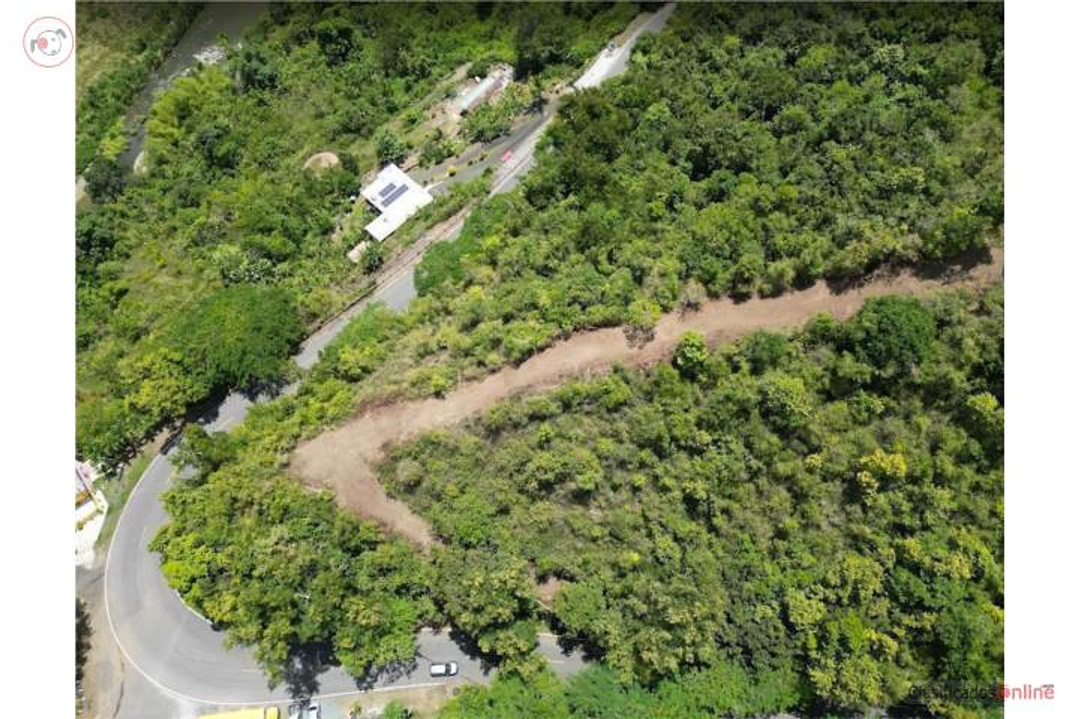
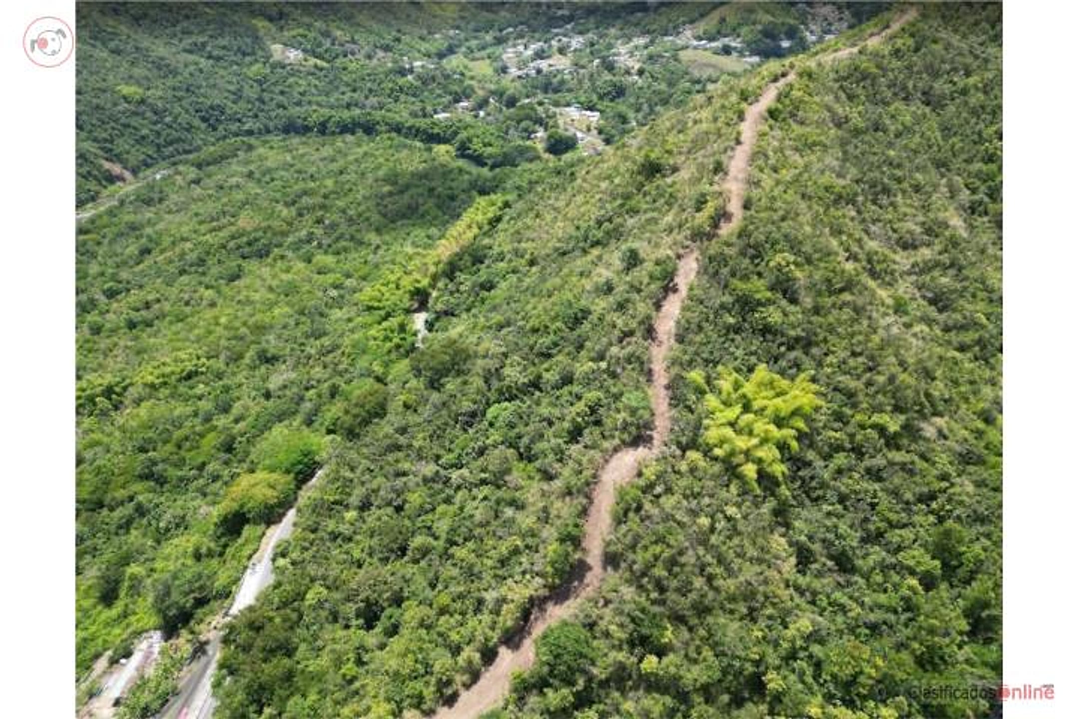
Description from Clasificados
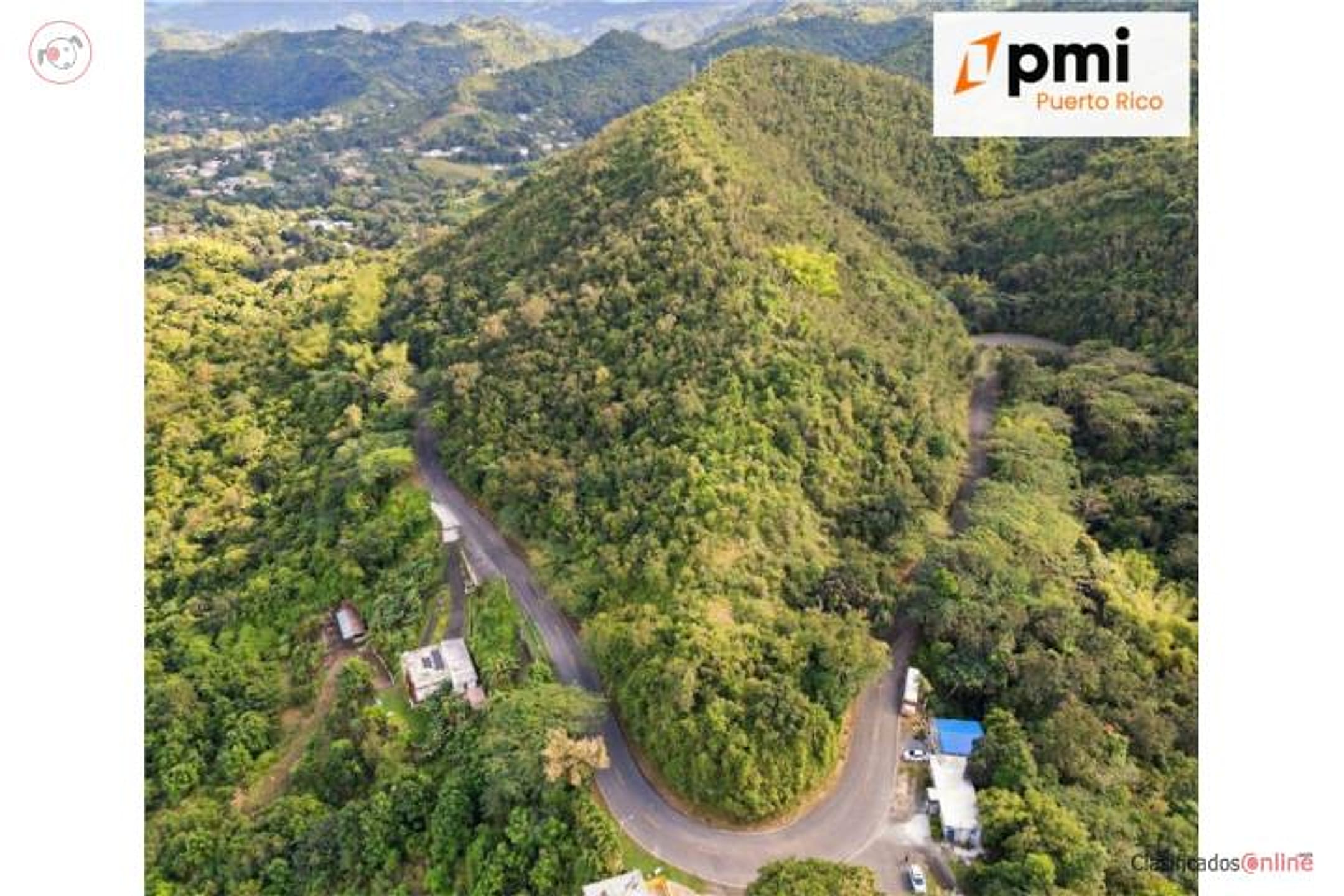
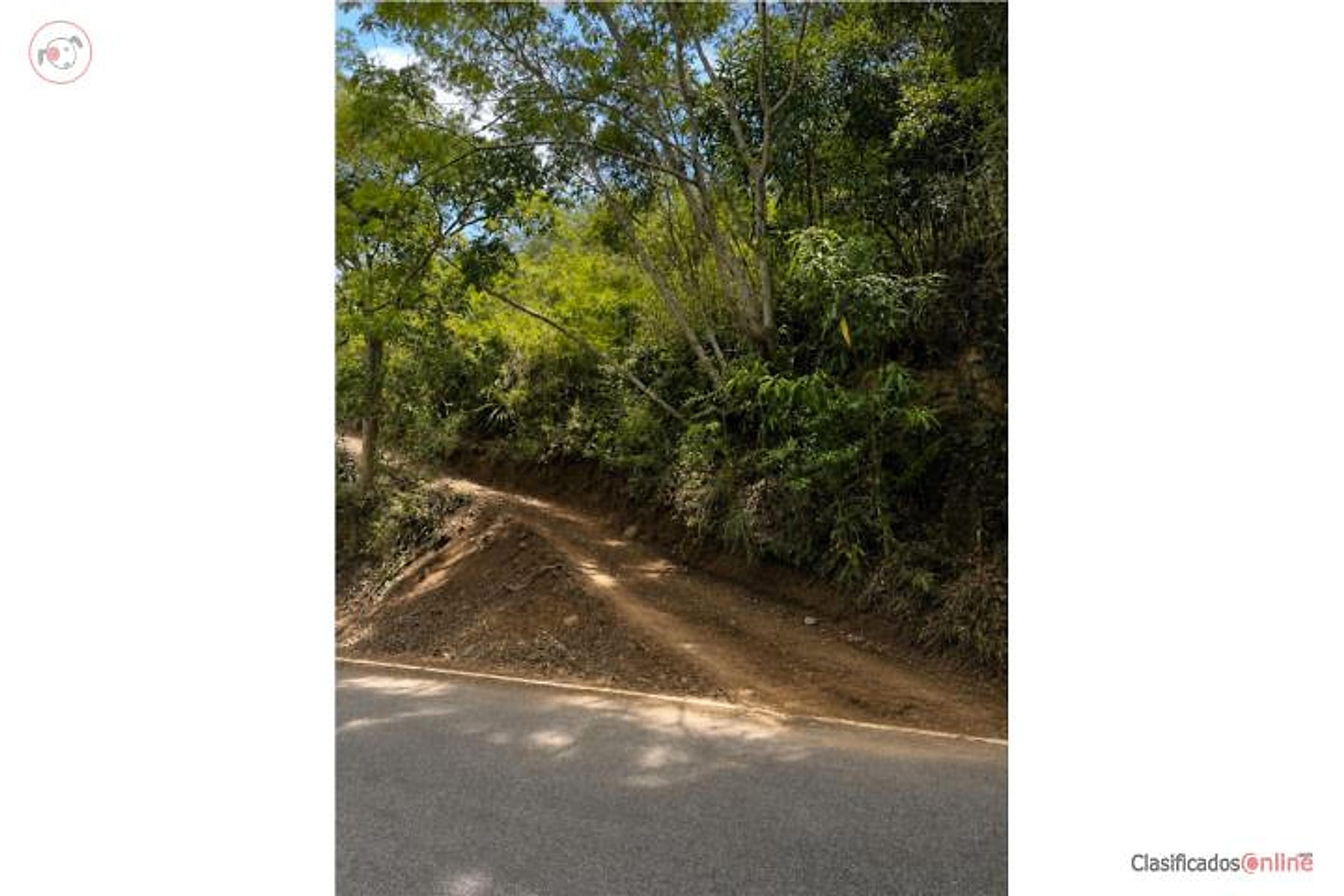
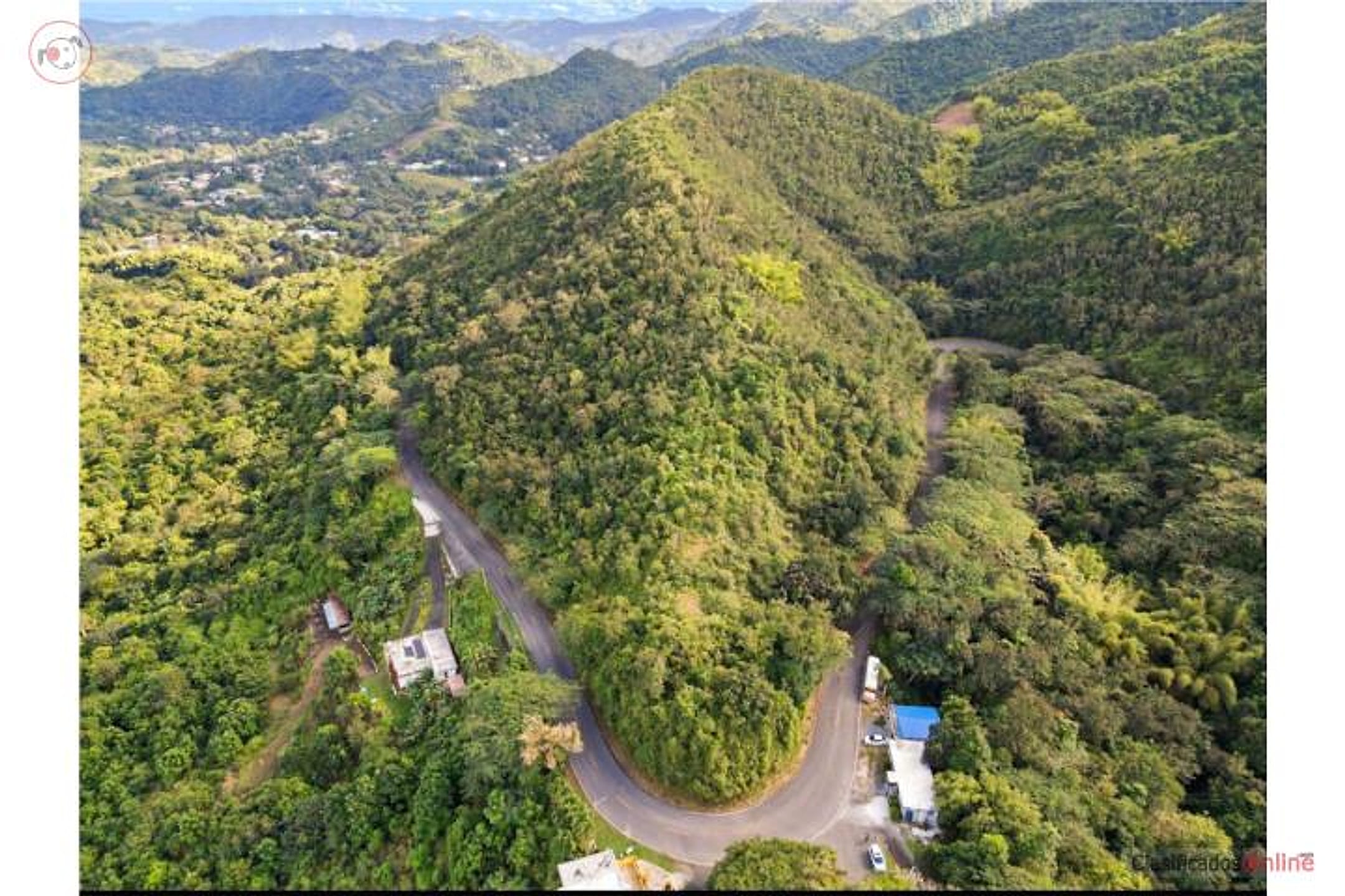
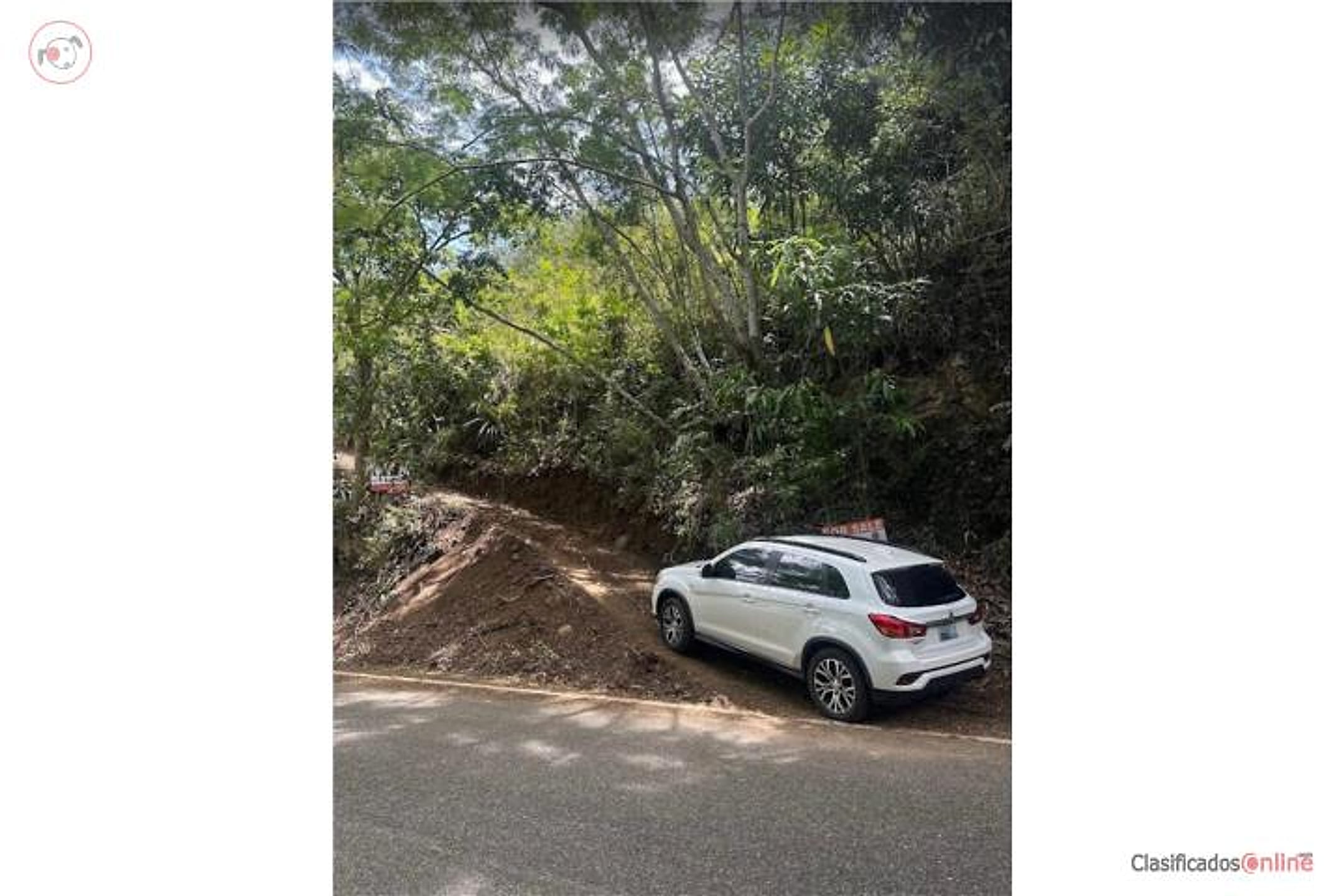
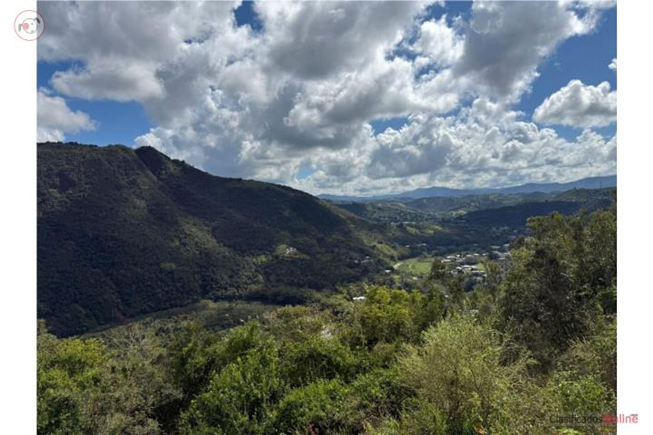
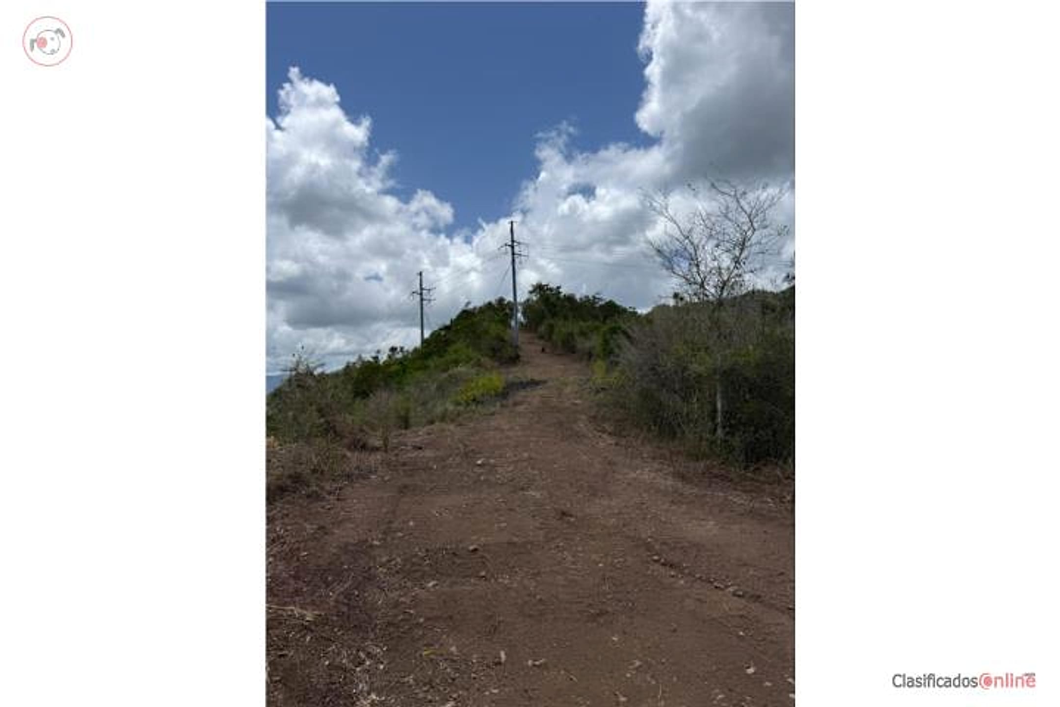
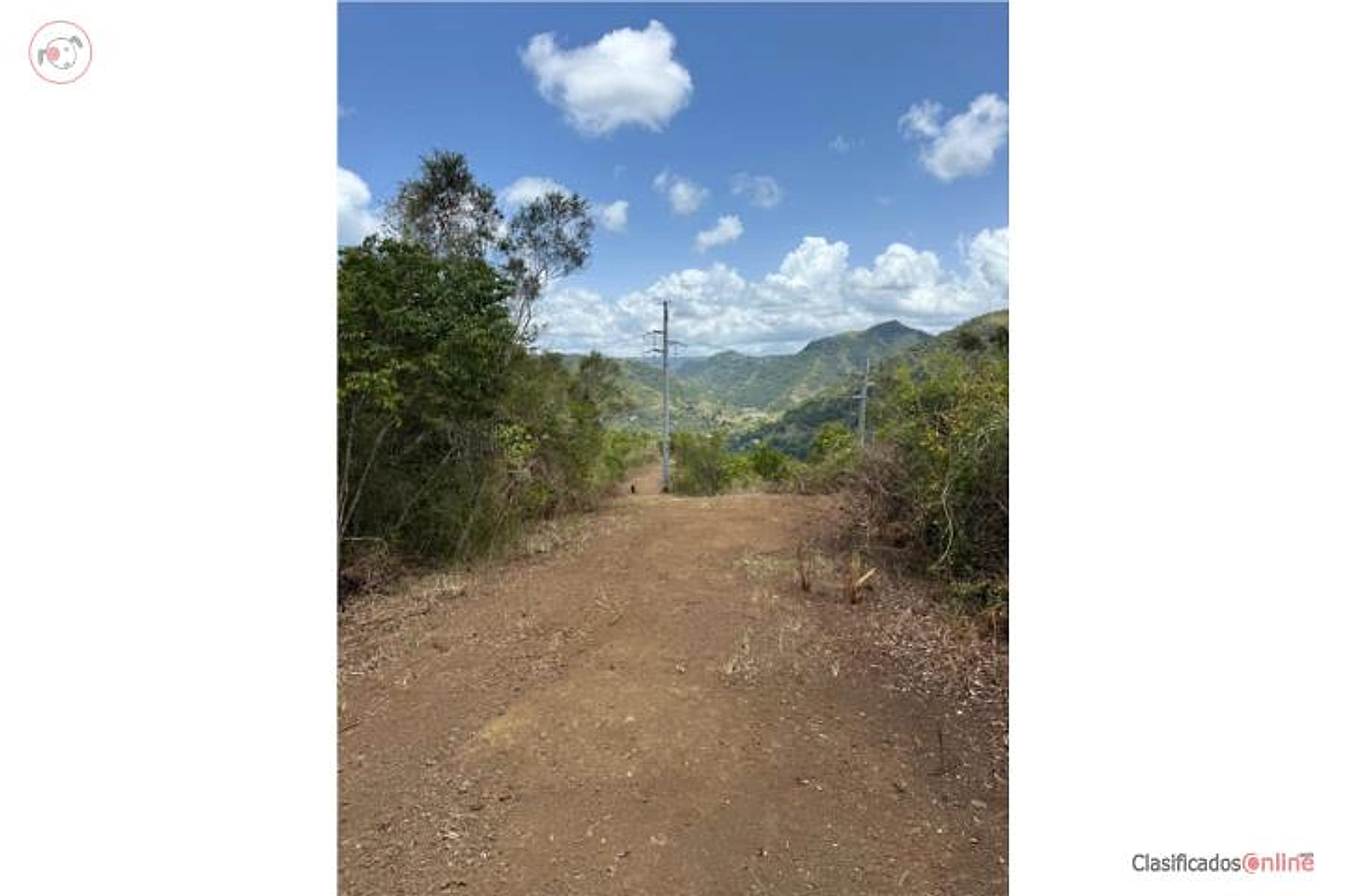
FARM IN AIBONITO – PR-14. Beautiful farm of 37.5 cuerdas (36.42 acres), located on PR-14 in Aibonito. Features impressive panoramic views and private entrance, ideal for agricultural development, residential development, or investment. 💰 Price: $175,000. 🏡 Owner financing available: Down: $25,000 | Balance: 150 monthly payments of $1,000 | Interest: 6%. 📞 For more information, contact Gerardo Espinet, Puerto Rico.
Original Spanish
FINCA EN AIBONITO – CARR. 14 Hermosa finca de 37.5 cuerdas, ubicada en la Carr. 14 en Aibonito. Cuenta con vistas panorámicas impresionantes y entrada privada, ideal para desarrollo agrícola, residencial o inversión. 💰 Precio: $175,000 🏦 Financiación por el dueño Pronto: $25,000 Balance: 150 pagos mensuales de $1,000 Interés: 6% 📞 Para más información: Comuníquese con Gerardo Espinet. Puerto Rico
Why it's interesting
Strong land fit for their dream-build scenario: 36+ acres well below budget at $2,403/acre, located in elevation-rich Aibonito with advertised panoramic views and private access. No existing home, so this is pure land play—ideal if they're committed to building; minor deduction because 'finca' designation and agricultural zoning may require verification for residential development.
| Location | Robles, Aibonito (tier 1 — preferred catchment) |
|---|---|
| Price | $175,000 |
| Size | 36.42 acres (37.5 cuerdas) |
| Land $/acre | $2,403/acre (after $87,500 home credit) |
| Fit score | 78/100 |
| Existing home | yes — not move-in habitable |
Location, terrain & flood
📍 Open in Google Maps — Robles, Aibonito, Puerto Rico 🛰 Satellite
⛰ 2,031 ft elevation 🌊 FEMA Zone X — minimal flood
Barrio-level pin (listings give barrio + municipio, not the exact lot) — verify the parcel location. Elevation: USGS. Flood zone: FEMA NFHL.
Drive times
| Miramar Bar | 75 min | 46.4 mi |
|---|---|---|
| Playa Lucía Disc Golf | 78 min | 51.1 mi |
| Albergue Olímpico Disc Golf | 43 min | 15.5 mi |
| SJU Airport | 73 min | 46.1 mi |
| Costco (Caguas) | 44 min | 26.6 mi |
Area & terrain notes
Aibonito is in PR's central highlands (Cordillera Central), with elevations typically 1,500–2,500 ft, delivering cool climate, mist, lush vegetation, and genuine mountain character. Located ~45–60 min southeast of Humacao (coastal town) by road; interior location means no oceanfront but strong privacy and rainforest/cloud-forest proximity. Not in major flood or hurricane-surge zones, though mountain terrain requires drainage planning. Small, rural municipio with agricultural heritage; friends in Humacao are within reasonable drive.
Buildability
Large contiguous parcel in Aibonito (mountainous interior, ~2,000 ft elevation) with private entrance suggests buildable potential; however, agricultural/finca zoning may restrict residential or require variance. Access via PR-14 is good. No mentions of flood risk typical for interior highlands, but topography and drainage must be surveyed.
Due diligence — verify before buying
- Verify zoning classification: confirm whether finca parcel permits single-family residential construction or if variance/reclassification is required.
- Survey the property boundary, topography, and access road condition; ensure PR-14 right-of-way is legally secure and adequate for development traffic.
- Confirm water rights/availability (wells, municipal, springs) and electrical infrastructure proximity; interior highlands may require independent systems.
- Title search and lien check; confirm no agricultural liens, water easements, or encumbrances; verify ownership clear and free.
- Geotechnical/soil assessment: interior mountain terrain may have steep slopes, rockiness, or drainage issues affecting building site selection and cost.
- Review flood maps and hurricane wind exposure; while interior, Aibonito's terrain and rainfall patterns should be assessed for runoff and erosion risk.
What the web found
The search did not locate this exact listing on Realtor.com, Zillow, Point2, or encuentra24. A similar large finca listing on ClasificadosPR mentions the property is in Carr 14 (La Ruta Panorámica) with panoramic mountain views. Aibonito area shows comparable land sales ranging $50k–$160k for 2–23 acres, but significant flooding and landslide risks dominate the region's hazard profile.
Also found online:
- ClasificadosPR.com — 37.5-cuerda property listed with panoramic mountain views on Carr 14 in La Ruta Panorámica
- Zillow — 2.91 acres at Road 725 Km #5.2 for $115k; 1.75 acres at Carr 725 for $93k—comparable land parcels in Aibonito
- FinditPR.com — Multiple land parcels ranging $50k–$160k; largest 16,302 m² (4 acres) in Sierra barrio for $160k
Area intel: Annual severe flooding from the Río Aibonito is a major recurring hazard affecting access to medical facilities. Aibonito is a mountainous town at ~2,401 ft elevation in the Cayey range with steep slopes and multiple rivers (Río de Aibonito, Río Cuyón, Río de la Plata). Hurricane Maria (2017) triggered >70,000 landslides across Puerto Rico; Hurricane Fiona (2022) brought 25+ inches of rain to the region causing flash floods and mudslides. Earthquakes are frequent but minor (magnitude 2.15 recorded March 2024); however, seismic activity contributes to landslide risks in steep areas. Land prices for comparable parcels in Aibonito range $50k–$160k for 1–23 acres. Average single-family home sales ~$130,977.
Dig deeper
Original listingGoogle itGoogle MapsSatellite viewRealtor.com compsPR flood map (FEMA)Listing ID 4830144 · scored 2026-07-25 · AI-read