50 Cuerdas (48.56 Acres) for Sale in Juncos
privaterainforest
Why it's interesting
Excellent acreage (48.56 acres) at a steal price ($6,178/acre, well under budget) in a validated location near Humacao, with rural zoning permitting residential build. However, the listing is completely silent on elevation, views, and terrain character—critical 'loves' for this couple. No existing home, no mention of water access, and the high proportion of 'Interior Forests' zoning (43%) suggests dense canopy that may obstruct views and complicate building.
| Location | Gurabo Arriba, Juncos (tier 1 — ≤30 min of Humacao) |
|---|---|
| Price | $300,000 |
| Size | 48.56 acres (50 cuerdas) |
| Land $/acre | $6,178/acre |
| Fit score | 52/100 |
| Existing home | no |
Location, terrain & flood
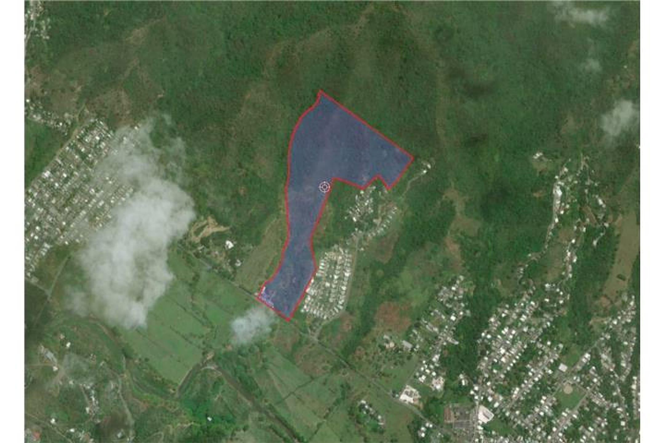
📍 Open in Google Maps — Gurabo Arriba, Juncos, Puerto Rico 🛰 Satellite
⛰ 858 ft elevation 🌊 FEMA Zone X — minimal flood
Barrio-level pin (listings give barrio + municipio, not the exact lot) — verify the parcel location. Elevation: USGS. Flood zone: FEMA NFHL.
Area & terrain notes
Juncos is a rural mountainous municipality in the east-central interior, characterized by lush vegetation and rolling terrain. The Gurabo Arriba ward sits at moderate to higher elevation in the foothills, with cooler temperatures and higher rainfall typical of interior PR. The area is within the peripheral influence of El Yunque's wet climate and is ~25–30 minutes from Humacao by car. Terrain is densely forested in patches, and flood risk varies by specific microsite—interior highlands are lower risk, but creeks and drainage patterns require local assessment.
Buildability
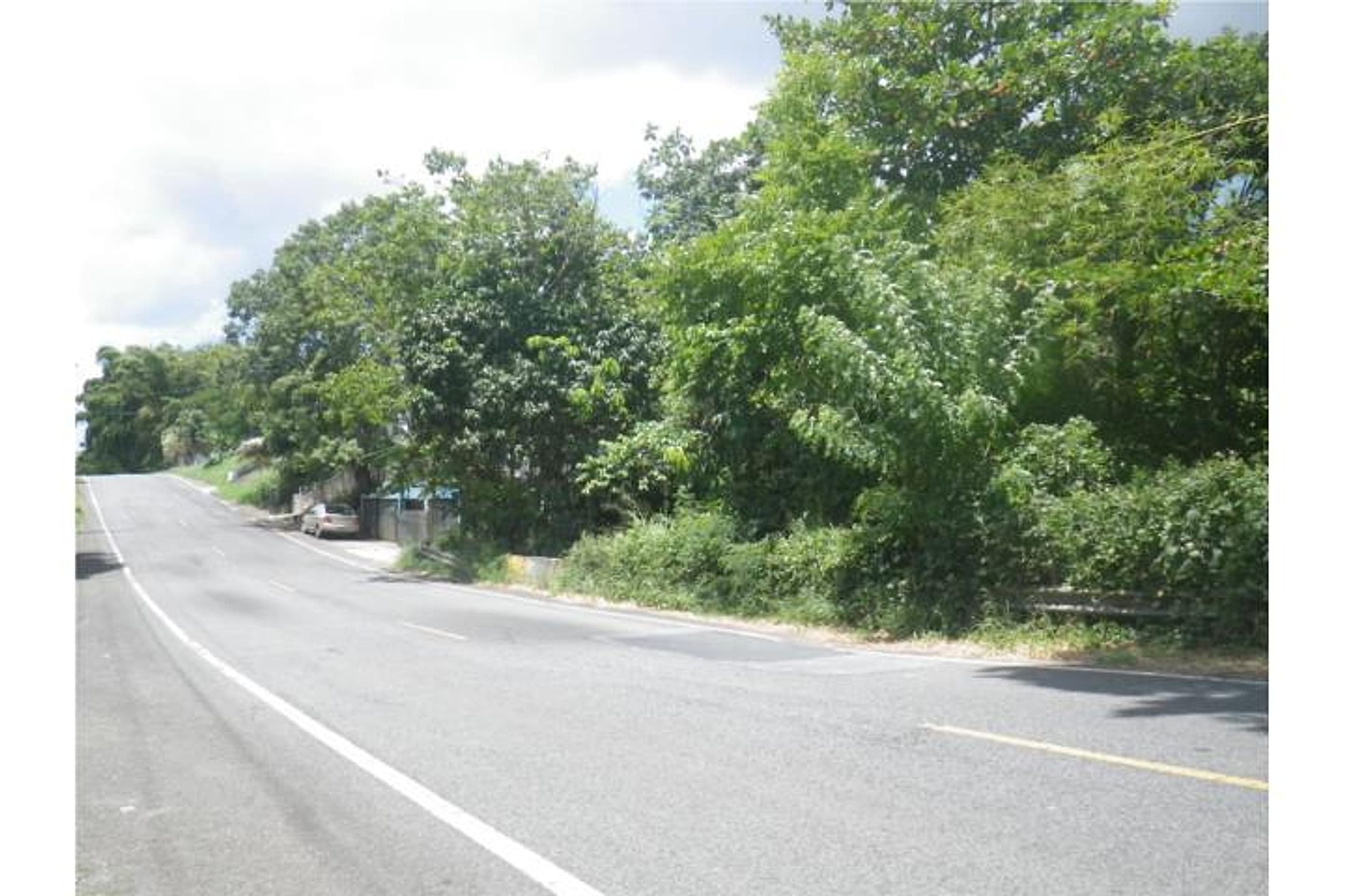
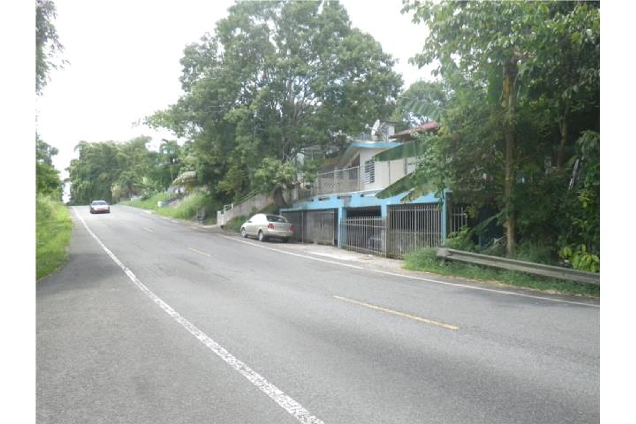
Zoning permits one to two residential units per tract >5 cuerdas; however, 43% falls within 'Interior Forests Area' (B-1) which may impose forest preservation or density restrictions. Access via State Road PR-31 is confirmed. No mention of water, electricity, or flood zone status—must verify all before committing.
Due diligence — verify before buying
- Obtain a topographic map and site visit photos: confirm actual elevation, slope, and whether views toward ocean, valleys, or landscape are possible or blocked by forest canopy.
- Request detailed flood/FEMA zone map for the 48.56 acres; clarify any riparian or water body boundaries that might affect buildable area.
- Verify water access: municipal supply available, private well feasibility, and any water rights or restrictions tied to SREP/SRC classification.
- Confirm utilities (electricity, internet) availability on or near PR-31 frontage and estimated cost to extend to proposed homesite.
- Engage a local surveyor and attorney to clarify B-1 (Interior Forests) overlay rules: permitted building footprint, setbacks, tree preservation mandates, and any environmental permits required before construction.
- Walk the property boundary and document actual road access, drainage patterns, and presence of any informal structures, easements, or prior use that could affect title or development.
What the web found
Web searches confirm Gurabo Arriba is a barrio in Juncos at approximately 196 meters elevation. The area has been subject to hurricane damage, landslide risks, and flood concerns due to the Río Gurabo. No duplicate listings or agent contact info for this specific parcel were found online.
Area intel: Juncos municipality faces documented hazards including landslide risk in Valenciano Arriba ward and flood-proneness related to the Río Gurabo during heavy rainfall. Hurricane María (2017) and Fiona (2022) caused significant damage. Land in the region shows comparable sales ranging from approximately $65,000–$360,000 for varied parcels. Recent listings on FinditPR show land sales at $105,000–$240,000 for properties measuring 6.6–20+ cuerdas.
Description (English)
Vacant raw land comprising 50 cuerdas (48.56 acres) located on State Road PR-31, Km. 21.3 in Gurabo Arriba Ward, Municipality of Juncos, Puerto Rico (Latitude: 18.24378532, Longitude: -65.88572099). Zoning: 57% B-1 (Interior Forests Area) and 43% A-D (Rural Developed Area). Soil classification: SREP (Rustic Soil Especially Protected) and SRC (Common Rustic Soil). Permitted uses include primarily agriculture and preservation, with residential use allowed—one or two single-family residential units permitted per tract exceeding 5 cuerdas. Price: $300,000 ($6,178/acre).
Original Spanish
Land Size 48.56 Acres Zoning (B-1) 57%; (A-D) 43% Vacant raw land comprising an area of 50 “cuerdas”. The property is located State Road PR-31, Km. 21.3 in the Gurabo Arriba Ward of the Municipality of Juncos, Puerto Rico. The subject property is within zoning districts identified as SREP (Rustic Soil Especially Protected) SRC (Common Rustic Soil) with zone districts as A-D, (Rural Developed Area), 57% and B-1 (Interior Forests Area), 43%. Under SRC and SREP the permissible uses are mainly agriculture and preservation, ClasificadosOnline with some residential uses of one or two families residential units permitted per tract of land of more than 5 “cuerdas”. North of Road PR-31, Km. 21.4, Gurabo Arriba Ward Juncos, Puerto Rico Lat: 18.24378532, Lon: -65.88572099 https://totalcommercial.com/listings/48751 Puerto Rico
Dig deeper
Original listingGoogle itGoogle MapsSatellite viewRealtor.com compsPR flood map (FEMA)Listing ID 4306850 · scored 2026-06-05 · AI-read